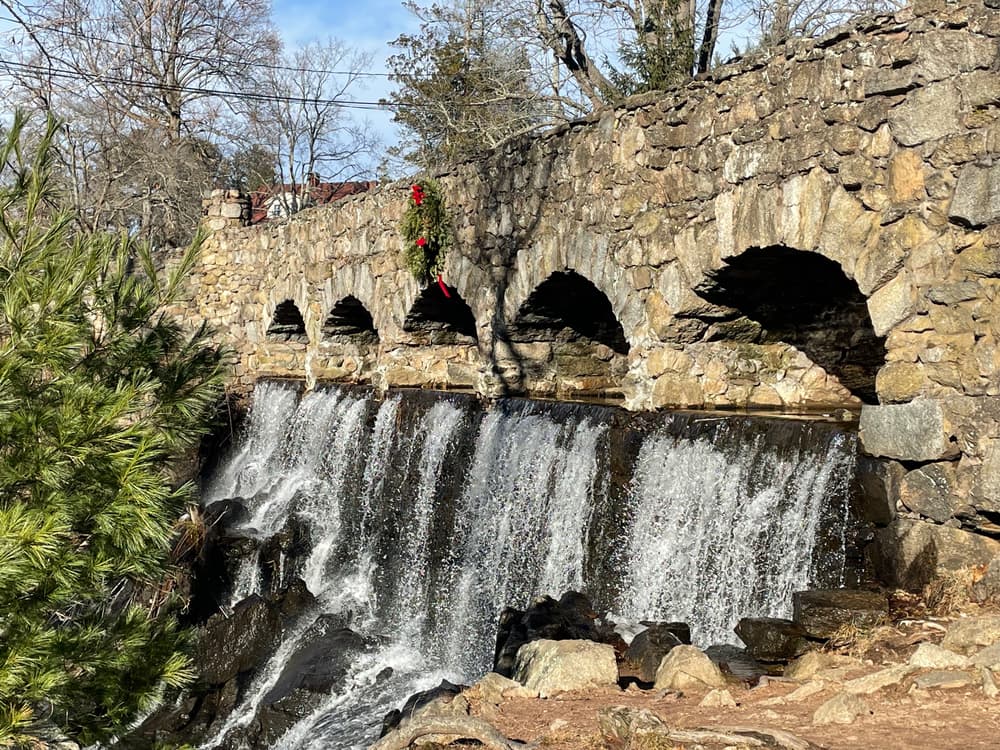
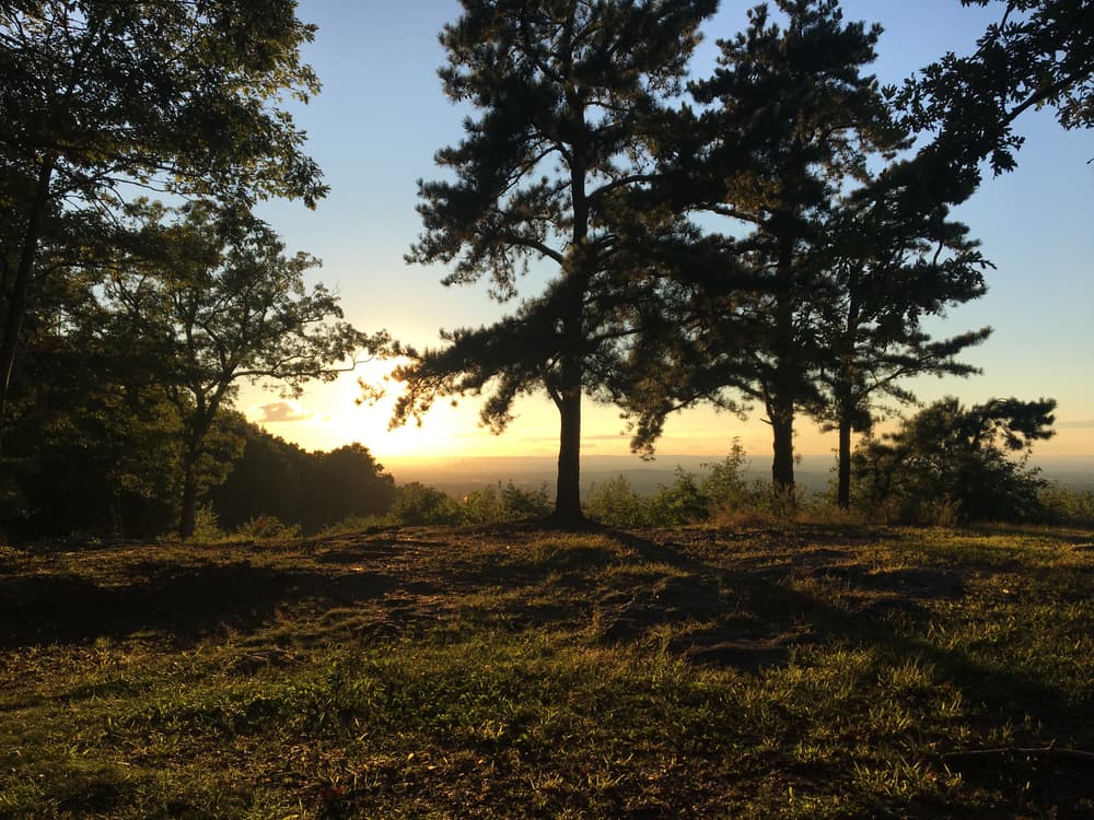
Located in the southeastern section of Manchester, Connecticut, the Case Mountain Recreational Area encompasses 640 acres of combined open space and watershed land stretching from the Glastonbury border north to Case Pond. Highlights include the waterfall just north of the Spring Street parking lot and the Lookout Mountain overlook along the white trail which is about a 20 minute walk from either of the main parking areas.
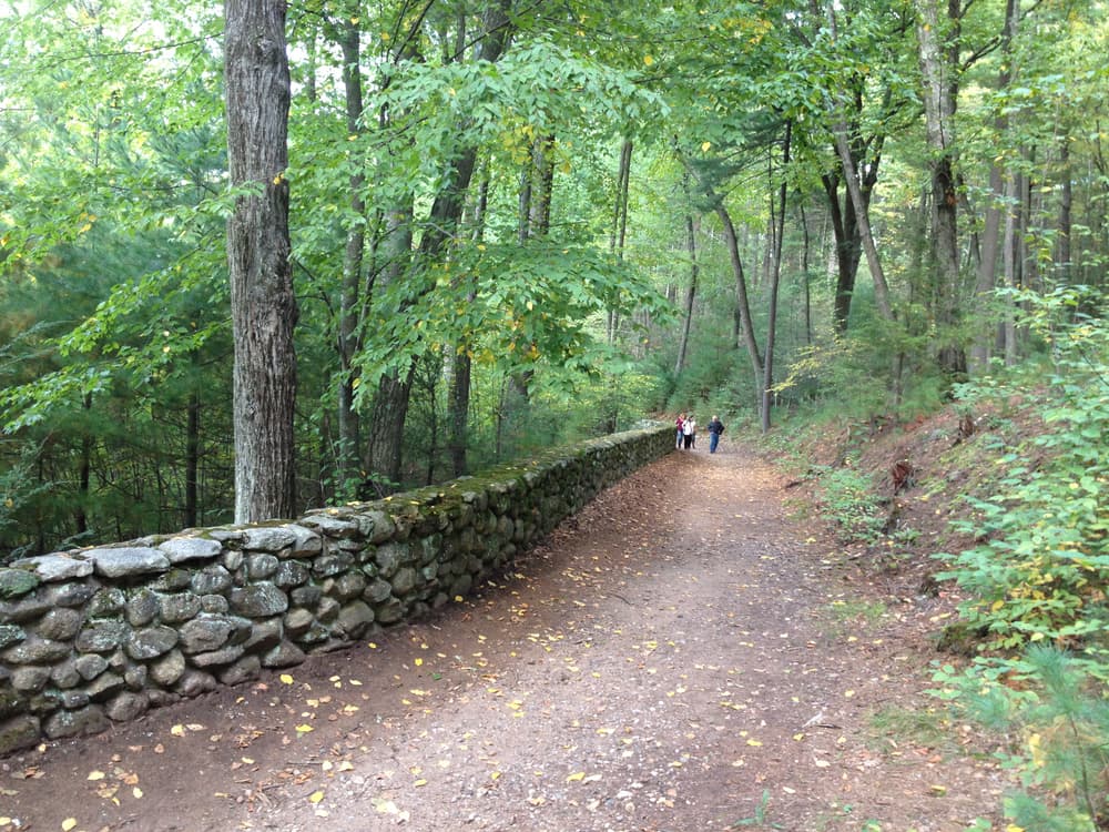
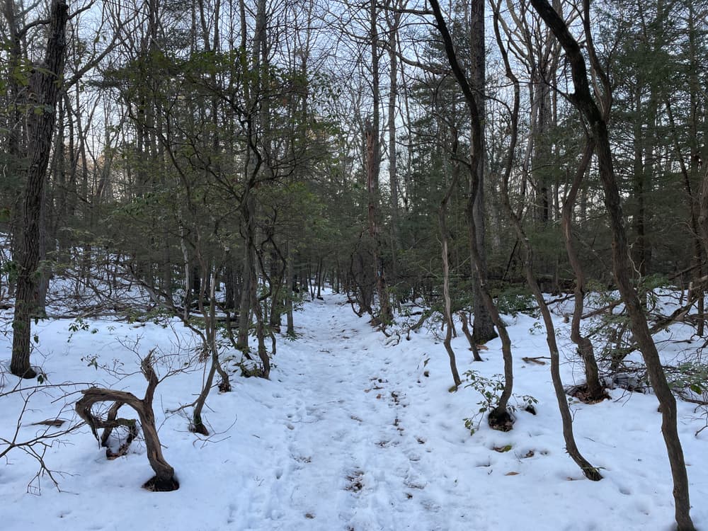
The Case Mountain trail system consists of 7 individual blazed trails with a combined 10 miles of moderate to rough ground and some steep inclines. The blue blazed Shenipsit Trail, maintained by the Connecticut Forest and Park Association (CFPA), also crosses the area from north to south.
The Case Mountain trails are managed by the Town of Manchester Public Works Department with support from the Manchester Conservation Commission.
From I-384E, take Exit 5 and turn right on Wyllys Street, then take the second left onto Spring Street. Use the Spring Street parking lot immediately on the left (670 Spring Street), OR keep going and take a left onto Gardner Street which turns into Line Street, to find the southern parking lot just past the right bend.
From I-384E, take Exit 5. Turn left to cross I-384, then turn right onto Highland Street /Route 534. Cross I-384 again and then take a right onto Birch Mountain Road. The Case Pond parking lot is at 68 Birch Mountain Road, and the Birch Mountain Road/Shenipsit lot is at 148 Birch Mountain Road.
From I-384W, take Exit 5. Turn left onto Highland Street and turn left again onto Gardner Street. Take one more left and follow Spring Street to the parking lot at 670 Spring Street OR continue straight on Gardner Street which turns into Line Street, to find the southern parking lot just past the right bend.
From I-384W, take Exit 5. Turn right onto Highland Street and head east. Just after crossing under I-384, take a right onto Birch Mountain Road. The Case Pond parking lot is at 68 Birch Mountain Road, and the Birch Mountain Road/Shenipsit lot is at 148 Birch Mountain Road.
Success! A new password has been emailed to you.