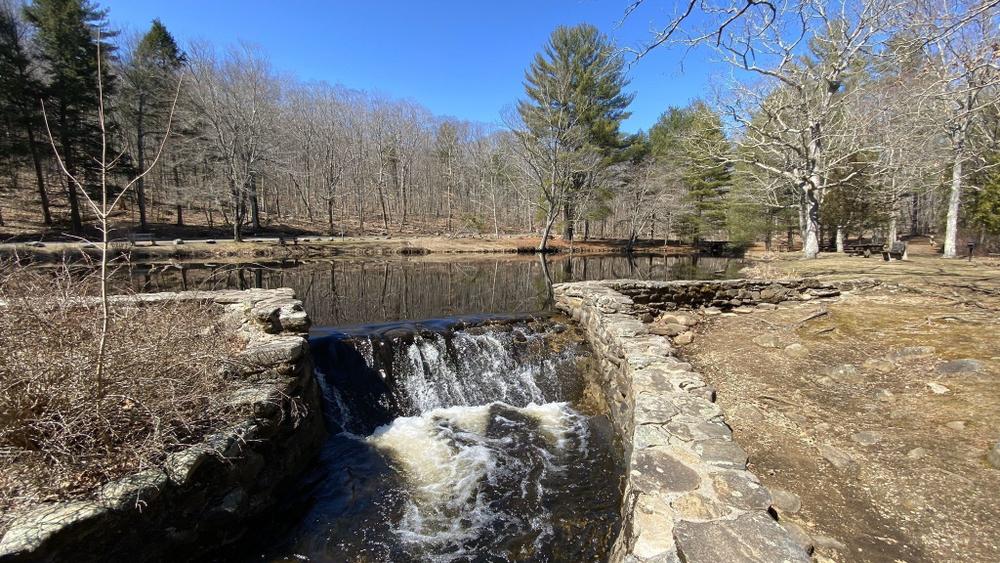
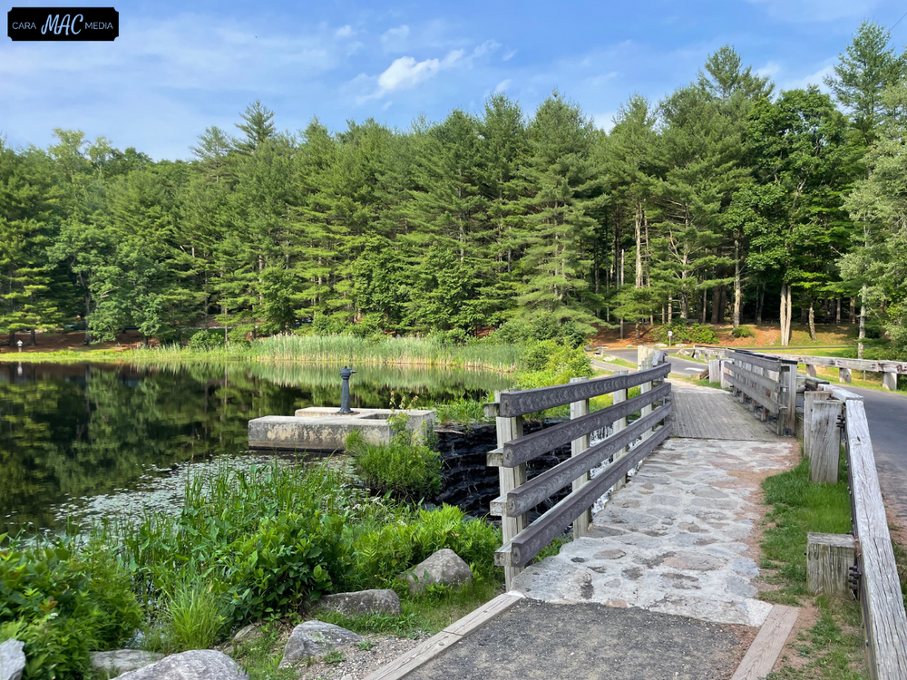
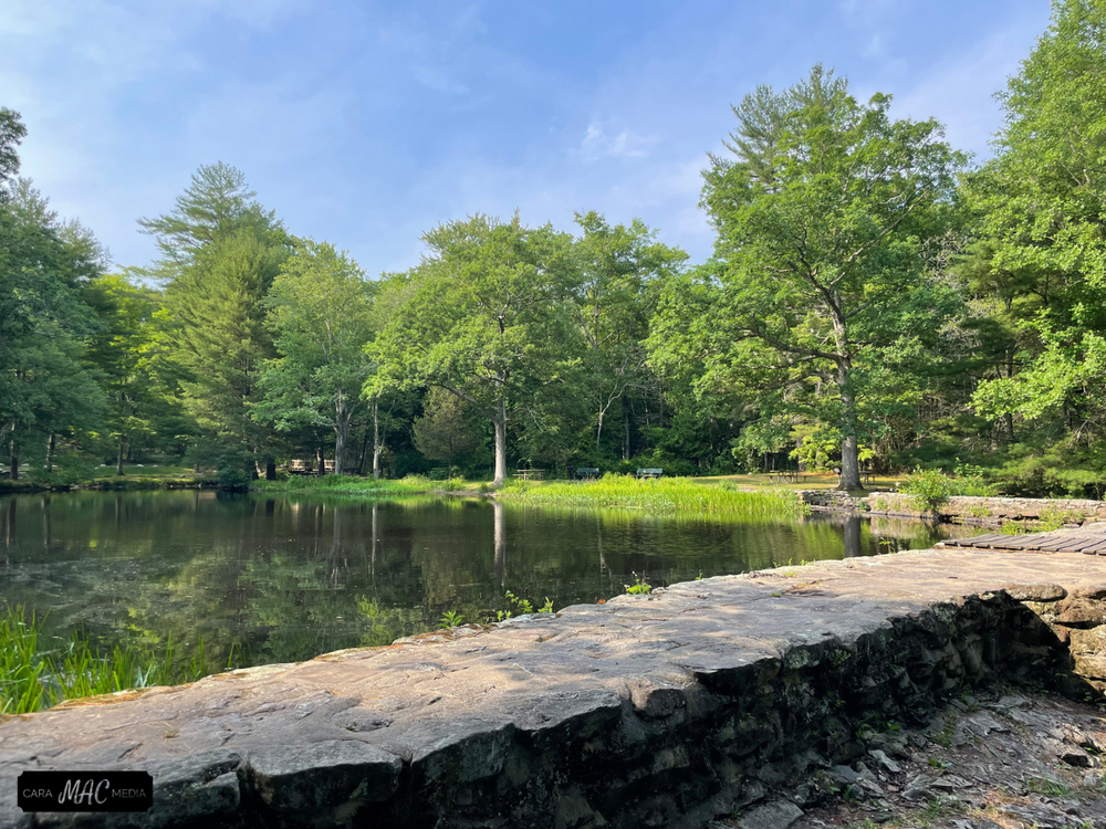
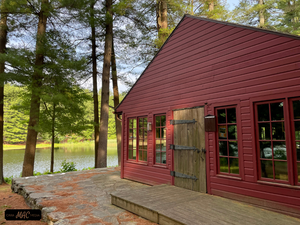
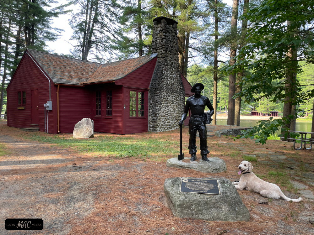
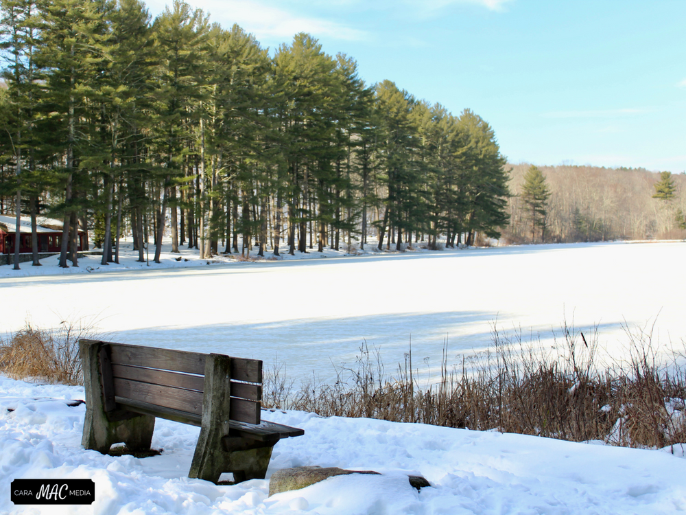
Within Chatfield Hollow State Park, Chatfield Hollow Brook flows towards Long Island Sound between two high ridges covered with oak, beech, and hickory. In 1934, the Civilian Conservation Corps built an earth and stone dam across the brook, creating seven acre Schreeder Pond. Pines planted at the same time now form a green setting around the pond. In 1949 Chatfield Hollow was designated as a state park.
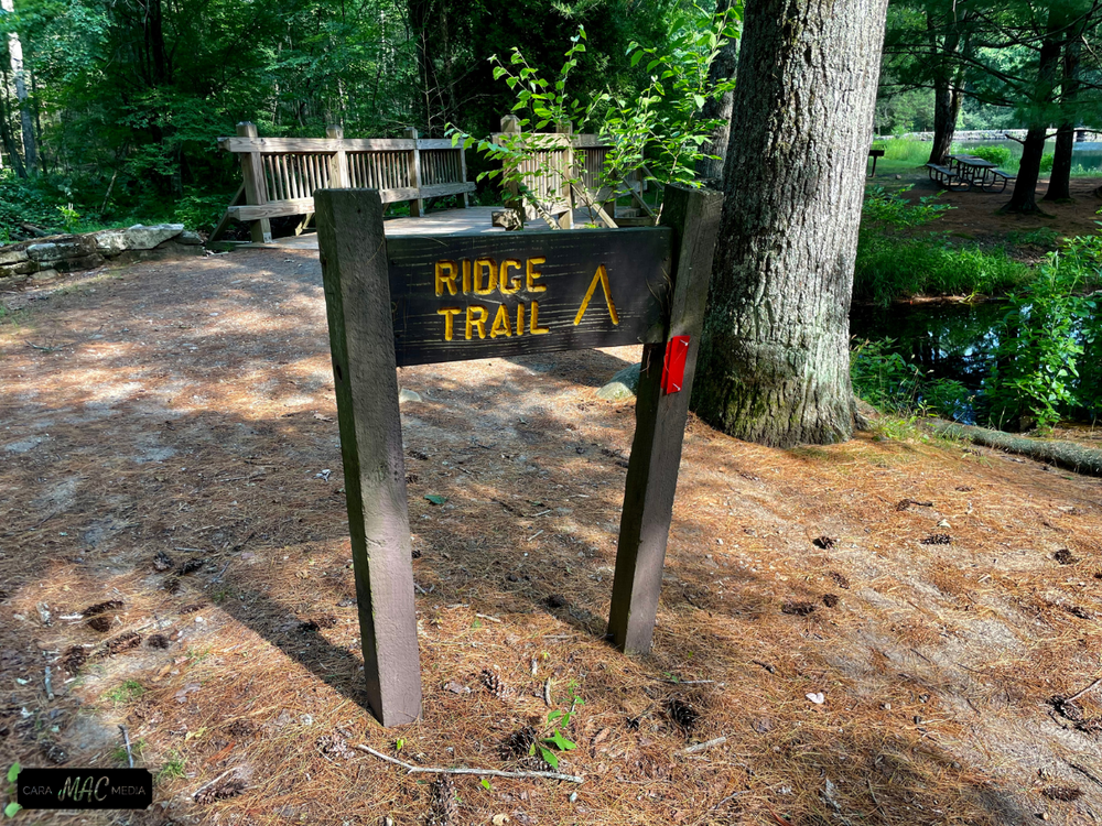
Chatfield Hollow State Park and a piece of Cockaponset State Forest make up the property that contains the trails in this post. The trails within Cockaponset State Forest are on the east side and include part of the White Trail, the Blue/White Trail, the blue East Woods Trail, the the Green Trail loop on the eastern side.
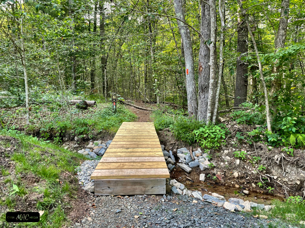
Be aware that there is a steep incline from the end of the boardwalk to the state park road, as well as a drop from the boardwalk to the trail. Hence, this section of the trail may not be suitable for all wheelchairs or unaccompanied visitors with limited mobility. The boardwalk is accessible via a leveled ramp from the bus parking lot.
In pre-Colonial times, Indians frequented the valley in considerable numbers for purposes of fishing and hunting. Many artifacts found in the vicinity of Indian Council Caves indicated that Native Americans sought refuge in the jagged ledges and held tribal gatherings amid the rock recesses and overhangs. An Indian trail paralleled the brook, winding through the trees and along what is now the park road.
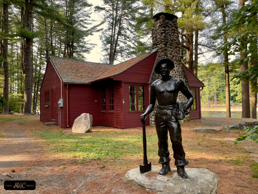
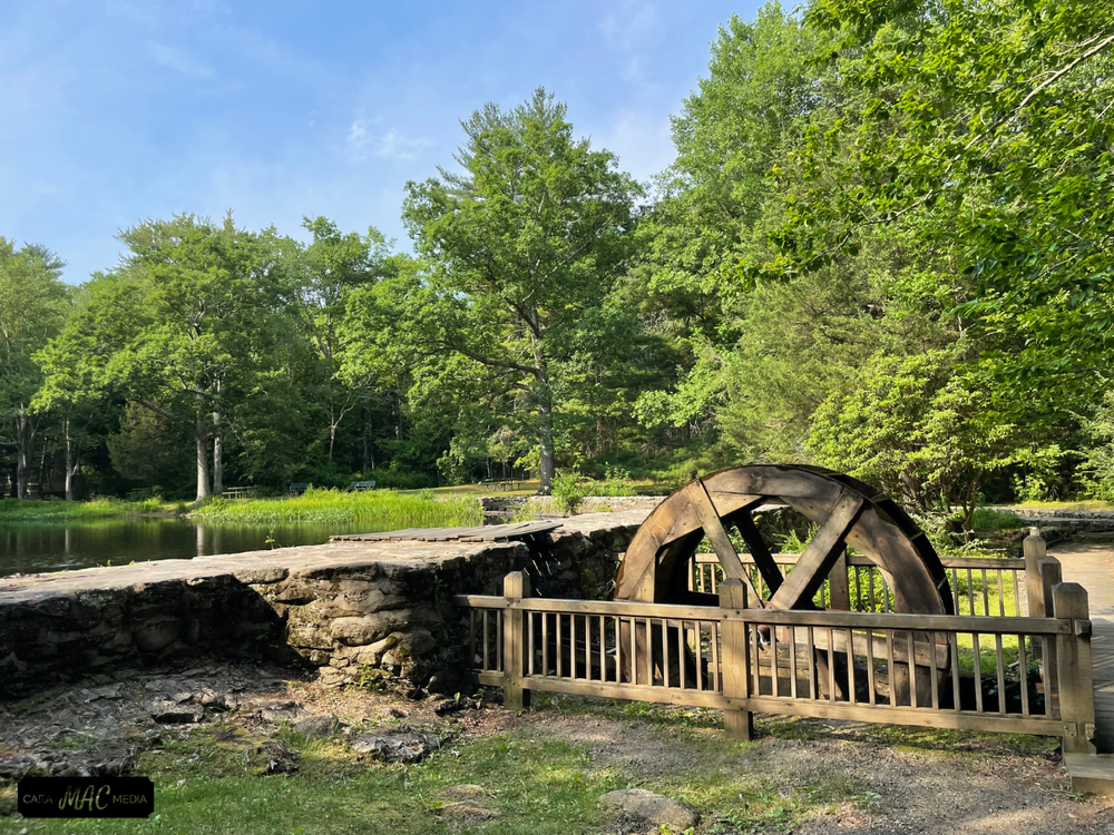
Early settlers made use of the stream for waterpower. Descendants of three Chatfield brothers, who arrived from England about 1639, were believed to have operated a gristmill along the brook. Occasional chunks of oddly shaped metal fragments found near the watercourse are evidence that an iron smelting furnace worked native ores into metal for implements. Other reminders of early history include several old building foundations, a restored waterwheel on the upper pond, and the covered bridge reproduction spanning Chatfield Hollow Brook.
This park is managed by the following CT DEEP Park Headquarters:
Take Exit 9. Follow Route 81 south to Route 80 west and watch for park entrance signs on the right.
Take Exit 63. Follow Route 81 north to Route 80 west and watch for park entrance signs on the right.
Success! A new password has been emailed to you.