ALERT: Kettletown State Park sustained flood damages as a result of the unprecedented heavy rainfall event in August 2024. The campground and surrounding areas, including the Pomeraug, Crest and Brook Trails are closed, and will remain closed for the 2025 season. The day-use areas, including the Miller Trail as well as the youth group campsites, have been reopened.
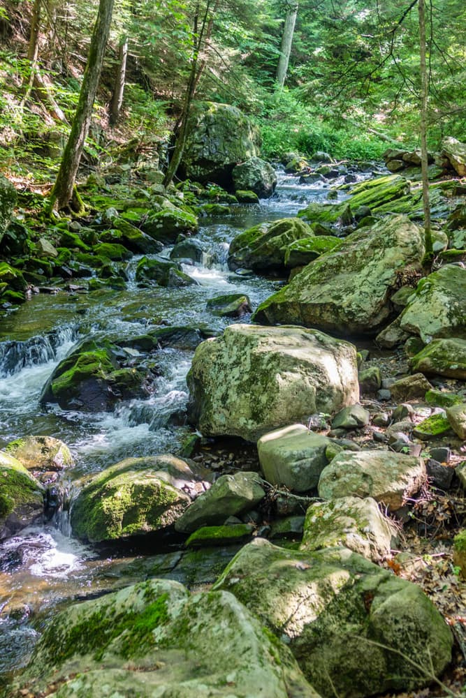
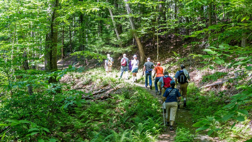
The trail system at Kettletown State Park traverses 605 acres of varied terrain on the eastern shore of Lake Zoar, a reservoir on the Housatonic River and the fifth largest freshwater body in Connecticut. Trails provide access to viewpoints, a forested picnic area, and a campground beside the lake.
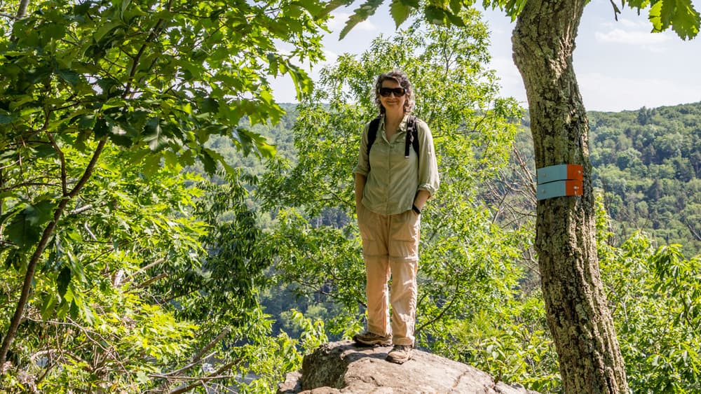
Some trails wander around the bank of the river and its streams, while others travel over ridges with steep and rocky sections. Overlooks of the lake can be found on the ridge trails.
Other activities at Kettletown State Park include fishing, picnicking, boating, and camping. See the Connecticut State Parks website for more information.
The area was originally inhabited by the Pootatuck people, who were expert fishermen, hunters, and farmers of crops such as beans, squash, tobacco, and apples. They also developed a drum communications system which could carry a message over 200 miles in just two hours.
It is rumored that early colonists traded one brass kettle to hunt and fish in this land, giving the park its name. In 1919, after the Pootatuck people had been displaced, the original village was submerged when the Housatonic River was dammed to produce hydroelectric power, creating Lake Zoar.
Parts of the blue-blazed Miller Trail pass by large, lumpy brown boulders. These are called glacial erratics, boulders left behind after glaciers melt. These came from the Pomperaug Valley, northwest of this area.
Take Exit 14 for CT-172 toward South Britain Road. Follow CT-172 South/South Britain Road to Georges Hill Road. Follow Georges Hill Road for 2.7 miles and then turn right. The turn will come prior to a sharp left on Georges Hill Road.
After turning right, there will be a state park sign and entrance fee kiosk. Continue for half a mile and then keep left. There will be a grass parking area on either side of the road. Continue down the state park road for a small, paved shoulder parking area on the left.
Success! A new password has been emailed to you.