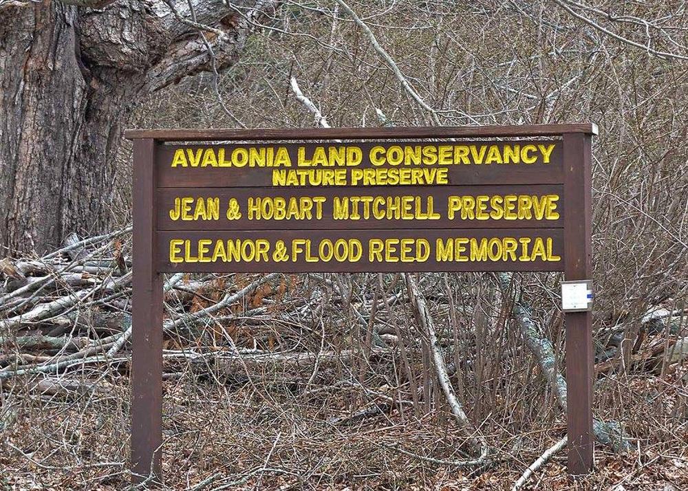
Mitchell Preserve & Reed Woodlands is located in North Stonington and off Northwest Corner Road. Head left and follow the blue arrows on the outer perimeter of the grass meadow. The blue trail continues into dense forest and over Main Brook via a board and bog walk.
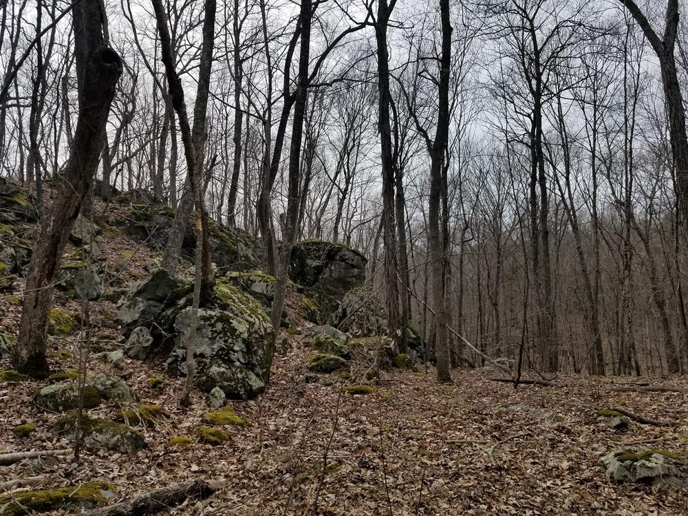
The blue trail continues into a small lasso loop up a small hill, offering a scenic overlook of the preserve. Branching off the blue trail is a red trail that tracks alongside Main Brook and offers some terrain changes via hills. There are occasional exposed rocks and roots, making the hike moderately challenging. The red trail crosses over Main Brook via stones and meets with the yellow marked trail. Narrow at times, the trail zig zags often amongst the diverse terrain. The total trail distance is 2.6 miles with 102 feet of elevation change.
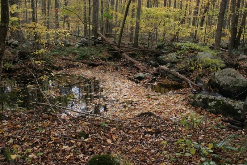
Do not miss the fun lasso loop trail on the southern portion of the preserve, called the Greenwood Tract of Mitchell Preserve. This does require re-locating to a different parking area, located on the north side of Lake of Isles Road. This yellow lasso loop trail is extremely well-marked. Toward the start of the trail is a fallen tree, cross over and head to the left up a small hill. At the northern end of the loop is a creek and wetlands, offering opportunities to see various animals. The trail width ranges from 2-3 feet to wide open and is packed earth and dirt. The total distance of this trailed portion of the preserve is approximately 0.98 miles with 118 feet of elevation change.
This property is part of Avalonia's Hike and Seek Program scavenger hunt program!
Take I-395 North to Exit 9, Route 2A in Preston. Head east on Route 2A to Route 2 East. Take a left onto Route 164. Take a right onto Howell Road and then turn right onto Northwest Corner Road.
Parking is on the side of Northwest Corner Road (look for mailbox #368 as a landmark). The trailhead is located to the right of a private drive and enters into an open grass meadow.
Success! A new password has been emailed to you.