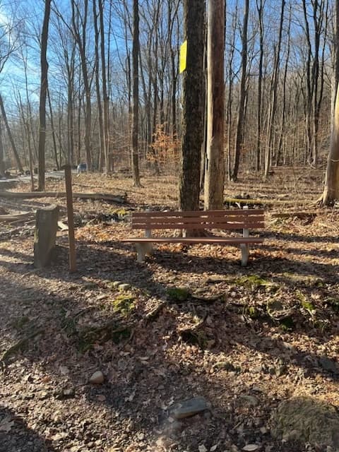
Ragged Mountain Preserve contains an extensive trail system that includes 2.5 miles of the Metacomet Trail. The Preserve has a total of 6.5 miles of officially marked hiking trails.
The blue-red blazed Ragged Mountain Preserve Trail runs along the east side of the preserve. Entering the Berlin part of the area from West Lane, bear left (south) on the Blue/Red Trail to ascend to the ridgeline looking east over Lower Harts Pond, Turkey Hill and south Kensington. Continuing, the ridgeline turns to provide views to the south including West Peak in Meriden. Continuing farther offers a view over Wassel Reservoir looking west toward Mount Southington. This overlook also provides a clear view to the north of the ridgeline spine that includes Heublein Tower in Simsbury.
Other portions of the Ragged Mountain Trail system pass primarily through open forest crossing several small streams. The Blue-yellow, Dashed brown, Blue-orange and Blue-white trails connect the Ragged Mountain Preserve Trail to the Metacomet Trail. Ragged Mountain is adjacent to City of New Britain Water Department properties and this large block of undeveloped land supports a wide variety of flora and fauna.
Visitors sometimes get lost on the 589 acres of Ragged Mountain Preserve, so hikers are encouraged to stay on the marked trails.
The Ragged Mountain Foundation maintains an access trail from Andrews Street in Southington: the Stanley Hart Pond Trail connects to the Undercliff Trail and to the Metacomet/Blue Blazed Trail maintained by the Connecticut Forest and Parks Association. For details on the rock climbing area at Undercliff Trail, visit the Ragged Mountain Foundation's website. Please stay on marked trails.
Parking and trailhead for the Berlin part of Ragged Mountain are at the corner of Wigwam Road and West Lane in Berlin.
From I-84, take Exit 35 for Route 72 east. Take Exit 2 and turn south on Corbin Avenue/Route 372, then slide right onto High Avenue/Route 71A. Continue on Route 71 for about 1.2 miles, then take a right onto West Lane, continue until the left bend (roughly across from #437 West Lane).
From I-91, take Exit 22 for Route 9 north (towards New Britain). Follow Route 9 until Exit 34 (Kensington) and head west on Route 571. Continue past Willowbrook Park, then take a left onto High Road/Route 71A. Continue on Route 71 for about 1.2 miles, then take a right onto West Lane, continue until the left bend (roughly across from #437 West Lane).
From I-691, take Exit 3 and turn north on Chamberlain Highway/Route 71. Continue north for about5.6 miles, then turn sharp left onto West Lane. Continue until the left bend (roughly across from #437 West Lane).
Success! A new password has been emailed to you.