New Feature:Now earn badges with a free CT Trail Finder account!

Rankin Preserve

This is the print view for this trail. View the full trail posting.

Rankin preserve offers a scenic hike through wetlands and maple swamp to the east and high climbing rocky ledges that descend into a gentle oak-hickory forest to the west.
Trail Activity
Hiking
Length
1.5 miles, Loop
Difficulty
Easy, Moderate
Town
Ashford
Surface
Packed Earth/Dirt, Rock/Ledge, Wetland
Pets
Permitted on leash
Fees
No

Description

This large preserve contains a diverse assortment of topographies and wildlife. The east side of the preserve is covered by a series of wetland areas including a red maple swamp, a shrub swamp, a marsh, a stream, and a series of linked ponds that were formed by earlier gravel mining in Ashford.

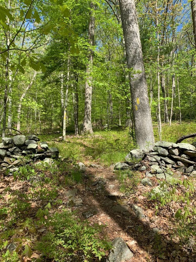
To the west of the wetlands, the land rises steeply to exposed bedrock ledges and continues on a more gentle slope through an oak-hickory forest with mature trees and a largely closed canopy. The stone walls that dot the forest provide clues to the land’s past life as a pasture, most likely used in colonial times and until World War II. Intermittent streams run from the forest in the west to the wetlands in the east.

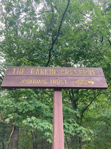
The Rankin Preserve abuts a large town-owned parcel. Both parcels play an important role in protecting a part of the Mt. Hope River watershed, as well as the many wetland habitats associated with it.

Other Information

Rules

  • Park in designated areas only.
  • Stay on marked trails.
  • Respect other users.
  • Carry out what you carry in.
  • Do not cut or collect living plants.
  • Help protect all natural and cultural resources.
  • Keep your pet leashed.
  • No fires allowed.

Trail Manager

Joshua's Trust preserves natural habitats and heritage sites in northeastern Connecticut. To learn more contact:

Joshua's Trust
624 Wormwood Hill Road
Mansfield Center, CT 06250
860-701-8035
http://joshuastrust.org

Trail Tips

Travel and Camp on Durable Surfaces
Walk single file in the middle of the trail. Wear the right shoes and enjoy the mud - you're in the great outdoors!

Trailhead Information

The trailhead is on Route 89, 0.5 miles north of the intersection of Route 44 and Route 89. Traveling north, watch for the Trust sign and a section of split rail fence on the left.

Legend
Hide All
Join In on the Fun!
Log in or create an account below to unlock all the great features of Connecticut Trail Finder: keep track of trails you want to do, preserve memories of trails you’ve done, and more!
Your log in attempt was not successful. Please try again.
    Lost your password? Reset your password
    Don't yet have an account?
    There was an issue with your submission. Please try again.
      * Indicates required field
      Already have an account? Login here
      Enter your username, and we will send you a new, randomly generated password to your email account.
      There was an issue with your submission. Please try again.

        Success! A new password has been emailed to you.

        Log in now

        Please wait…