Ready, Set, Go Outdoors! Connecticut Trails Day is June 6 & 7. Explore 200+ FREE outdoor adventures!
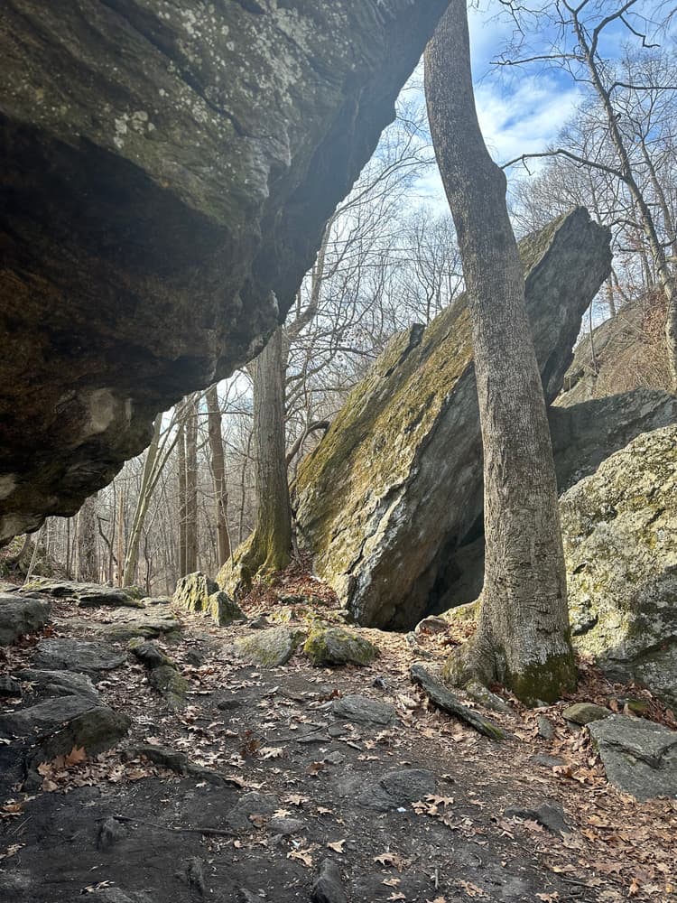
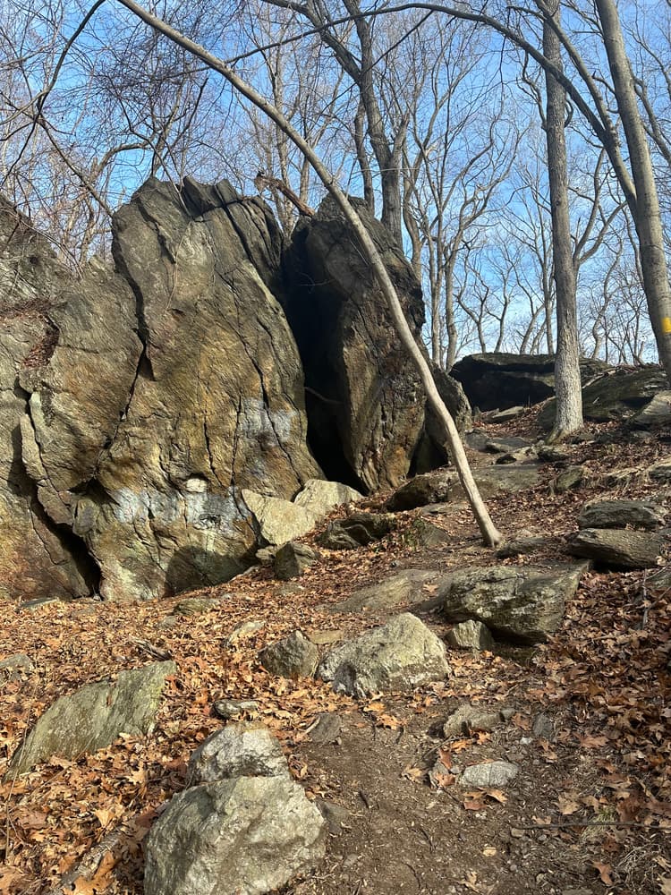
Visitors can explore the area via two maintained trails: the Red Trail, a short loop of approximately ½ mile leading to the historic rock formation, and the Yellow Trail, which traverses steep and rocky terrain to a southeastern promontory overlooking Samp Mortar Lake. Both trails have steep and rocky surfaces.
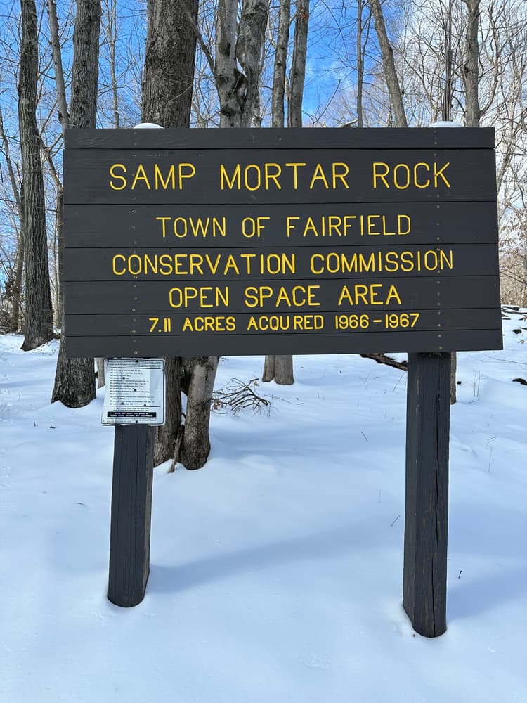
The area is also called the Samp Mortar Rock Historical Site because of its unique history involving Native Americans and the Town’s Colonial-era inhabitants. There are many interesting legends associated with the huge rock formations in the center of the open space area. In one flat rock you can see the round depression in the form of a mortar in which Native Americans would grind corn (“samp”).
The area can only be accessed via Springer Road, where limited roadside parking is available.
From Route 15, take Exit 44 and head south on Route 58/Black Rock Turnpike. Continue south, cross the Samp Mortar Reservoir, then turn right onto Samp Mortar Road. Take the first right onto Springer Road and head north. The trailhead is across from 535 Springer Road.
From I-95S, take Exit 22 and turn right onto North Benson Road. Continue north for about 1.8 miles, then stay left to stay on North Benson Road (Route 135 turns right). Continue on North Benson Road until it makes a right bend. Take a left onto Brookside Drive, then a short left to stay on Brookside Drive, and an immediate right onto Springer Road. The trailhead is across from 535 Springer Road.
From I-95 northbound, take Exit 22 and follow the exit to go around the Service Plaza. Continue on Walls Drive and turn left onto North Benson Road. Continue north for about 1.8 miles, then stay left to stay on North Benson Road (Route 135 turns right). Continue on North Benson Road until it makes a right bend. Take a left onto Brookside Drive, then a short left to stay on Brookside Drive, and an immediate right onto Springer Road. The trailhead is across from 535 Springer Road.
Success! A new password has been emailed to you.