New Feature:Now earn badges with a free CT Trail Finder account!

Shoreline Greenway Trail: Branford

This is the print view for this trail. View the full trail posting.

The Branford section of the Shoreline Greenways is a beautiful trail for walking and cycling that links Tabor Drive in East Branford to Stony Creek through woodlands and over marshes. 
Trail Activity
Accessible Experience Walking Bicycling
Length
3.3 miles, One Way
Difficulty
Easy
Town
Branford
Surface
Gravel/Crushed Stone, Paved/Cement, Packed Earth/Dirt, Boardwalk
Pets
Permitted on leash
Fees
No

Description

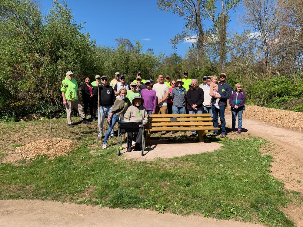
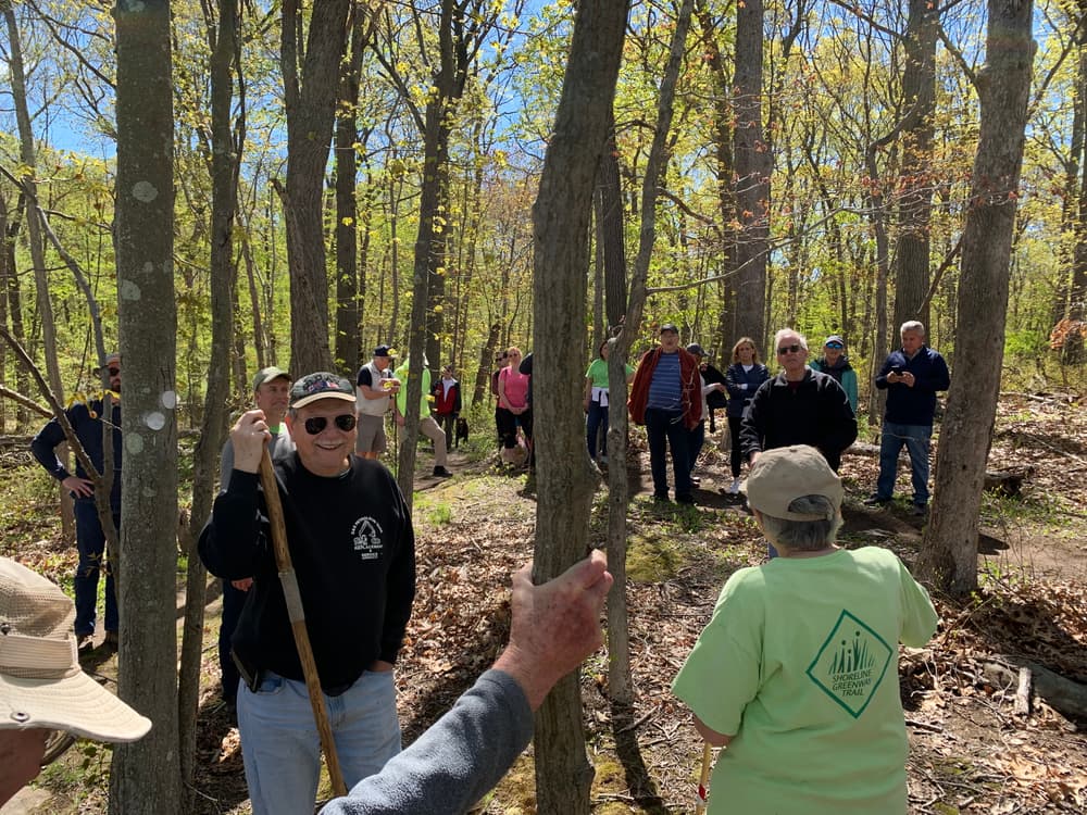
The Branford section of the Shoreline Greenway Trail is a beautiful section of wooded and marshland trail linking East Branford to Stony Creek. There are 2.5 miles of trail in Branford - with a short on-road section linking them in the middle.

The off-road trail sections are split into three sections, with a sidewalk/shared road connection between Young's Pond and the Trolley Trail. 

  • The Tabor Trail section extends from the parking lot on Tabor Drive in the west to Birch Road. This section passes through woodland and has a flat packed gravel surface that is wheelchair accessible. 
  • The Youngs Pond Park section is unimproved and narrow with an uneven surface. This is not wheelchair accessible and is best for mountain bikes. 
  • The Trolley Trail is part paved and part wooden boardwalk. There is a small step at either end of the boardwalk section. This section is over marshland areas, with some benches and many opportunities to bird watch. 

Other Information

Between Young's Pond Park and Trolley Trail, the Greenway follows sidewalks or shares the road with motor vehicles. Please use caution.

Trail Manager

Shoreline Greenway Trail, Inc.
P.O. Box 148
Branford, CT 06405
https://shorelinegreenwaytrail.org/

Trail Tips

Respect Wildlife
Avoid known animal mating or nesting areas during sensitive times.

Trailhead Information

Western Trail Head

From I-95, take Exit 54 for Cedar Street and head south on Cedar Street. Turn left onto Main Street, then take a right onto South Main Street. Take a right onto Montowese Street for half a mile, then turn left onto Tabor Drive. After another half mile, the trailhead and parking lot will be on the left. 

Eastern Trail Head

From I-95, take Exit 56 for Leetes Island Road toward Stony Creek. Continue south on Leetes Island Roads for 2 miles. Turn right just before the Willoughby Wallace Memorial Library and take the gravel road towards West Point Field, park at the Field.

Legend
Hide All
Join In on the Fun!
Log in or create an account below to unlock all the great features of Connecticut Trail Finder: keep track of trails you want to do, preserve memories of trails you’ve done, and more!
Your log in attempt was not successful. Please try again.
    Lost your password? Reset your password
    Don't yet have an account?
    There was an issue with your submission. Please try again.
      * Indicates required field
      Already have an account? Login here
      Enter your username, and we will send you a new, randomly generated password to your email account.
      There was an issue with your submission. Please try again.

        Success! A new password has been emailed to you.

        Log in now

        Please wait…