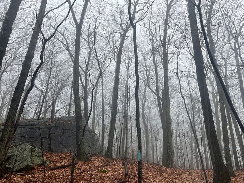
Starting at the parking area on Clark Road, the blue blazed Nancy Danaher Trail passes through a hemlock grove and a small meadow before descending steeply into the wetland environment of Spruce Brook valley. After crossing two footbridges, the trail begins to climb and the western access of the white blazed Katzin Trail is on the right. The trail passes a large bolder and stone walls in a mixed hardwood forest continuing to climb to a kiosk with a map located at a four-way trail intersection. The eastern access to the Katzin Trail is on the right and the blue-blazed Nancy Danaher Trail loops out and back at this juncture. Continuing east ascends to the landmark Pinnacle Rock.
Past Pinnacle Rock the trail winds northwest paralleling the ridgeline. The open upland forest is largely beech-oak-maple. The trail eventually curves west, then southwest to begin the return, and soon follows an old woods road. Further on, the trail passes a distinctive Flat Rock, then descends gently to the junction completing the loop. Follow the Blue trail back to the entrance or continue downhill on the white-blazed Katzin Trail heading south to the abandoned Perkins Road. At Perkins Road, turn right and follow the white blazes to a beautiful waterfall by an old bridge. Follow the trail north from the waterfall to reconnect to the Nancy Danaher trail or continue on Perkins Road to the Clark Road access.
Thank you to the generous donors that made this preserve possible. Rufus and Leslie Stillman donated 40 acres in 1978. Thomas and Nancy Danaher donated an adjoining 37-acre parcel in 1997. In 2019, the Katzin Family donated an adjoining 14.9-acre parcel with access from Perkins Road.
There are two trail access points west of Litchfield Center on the east side of Clark Road. The Nancy Danaher trailhead is located about 1.4 miles south of Route 202 and 0.6 miles north of Route 118. The Katzin trail access is further south on Perkins Road.
Success! A new password has been emailed to you.