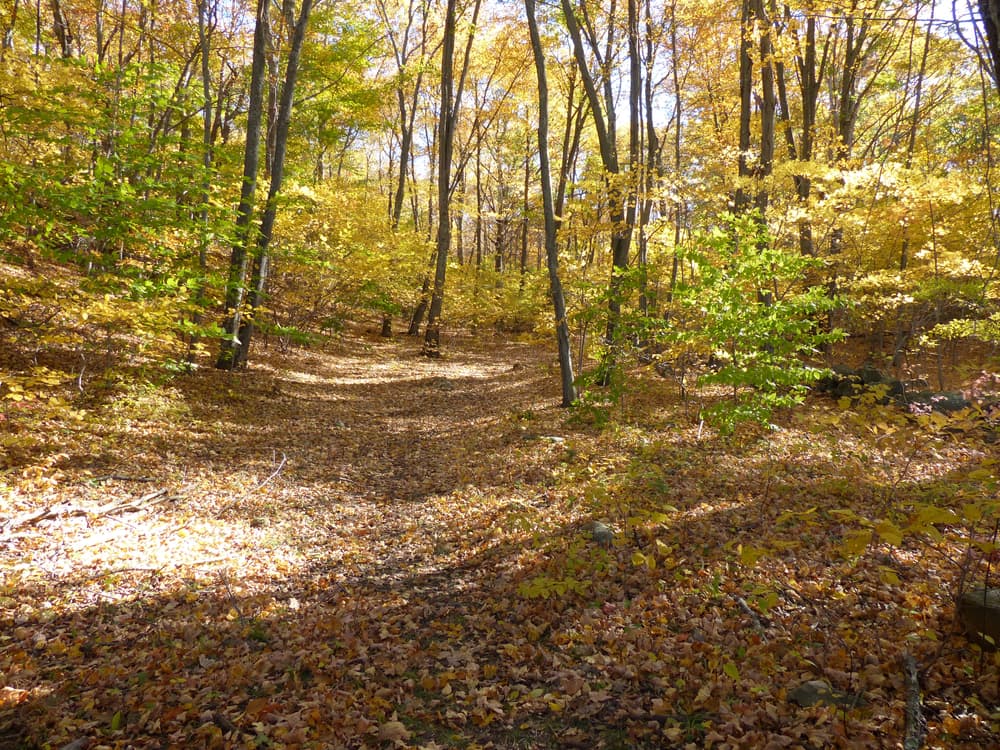
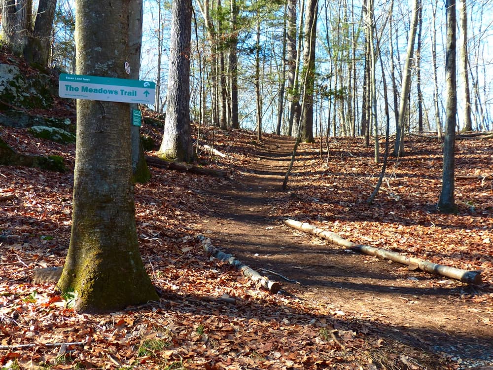
The Preserve is part of an interconnected network of forest and open space spread across Essex, Westbrook and Old Saybrook. The Essex Land Trust (ELT) owns and manages about 70 acres of The Preserve’s 963 acres. The bulk of the area is owned by the Connecticut Department of Energy and Environmental Protection (DEEP) and/or the Town of Old Saybrook. Three other Old Saybrook town properties, Clark Community Trails, Great Cedars East, and Great Cedars West, are contiguous with The Preserve. Furthermore, Essex Meadows, a residential community adjacent to the Preserve, allows public access to a portion of its trails. All together it is 1500 acres of publicly accessible open space.
Accessing The Preserve from Essex from the first parking area off Ingram Hill Road, called the East Preserve Land Trust Parking Area, head south. The easiest trail is the gravel road leading to a powerline cut which is a significant terrain feature for navigation. The cut heads north-south along the The Preserve’s eastern border and east-west along the the Essex-Old Saybrook Town line. The gravel road provides access to a small cascade and the open fields of the Essex Meadows property via the White Trail.
The Blue Trail also leaves the East Preserve Land Trust parking area and immediately enters the woods. It is more challenging than the gravel road and also provides access to the network of trails marked and unmarked that crisscross the forest.
From the West Preserve Parking lot a Utility Road follows the route of the unpaved “Back Highway” (Ingham Hill Rd) all the way through to Old Saybrook. Alternatively, the Red Trail heads south and then east and connects to the green trail and provides access to the interior of The Preserve.
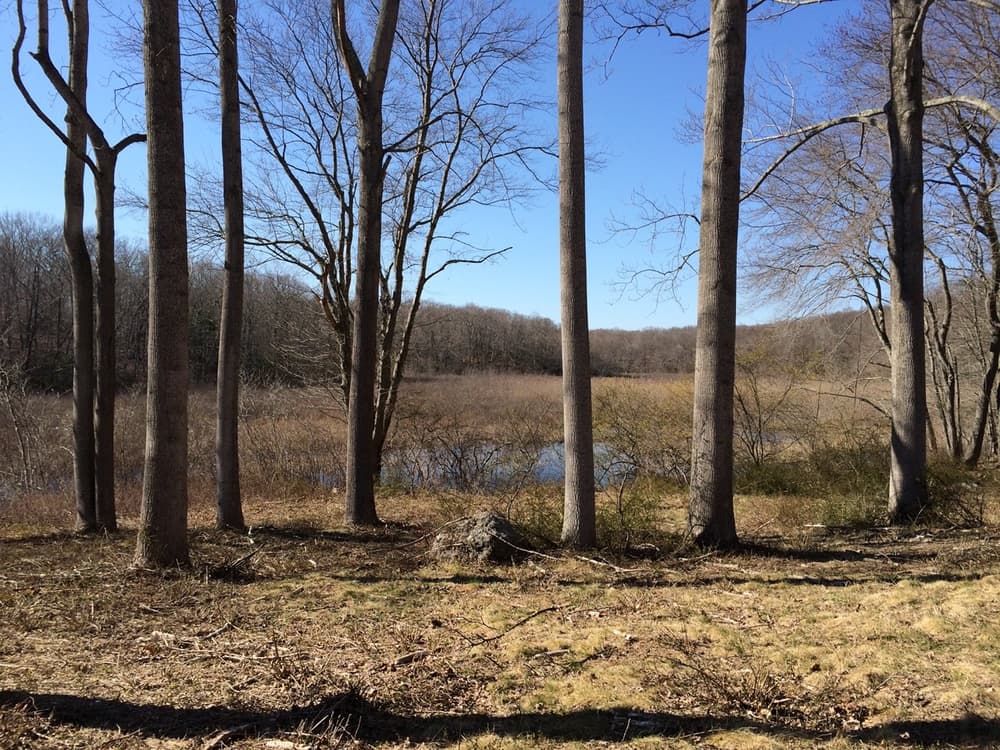
The Preserve contains the headwaters of the Oyster River and tributaries of the Mud and Trout Brooks, which eventually flow into Long Island Sound. Its wetlands includes 3,100 linear feet of watercourses, the 30-acre Pequot Swamp Pond, a white cedar swamp, and 38 highly productive vernal pools.
The property is home to 25 species of amphibians and reptiles, 30 species of mammals, and 57 species of birds. The dense forest canopy and Pequot Swamp Pond are a refueling stop for migratory birds.
The defining geographical characteristics of the preserve are the north/south ridgelines running the length of the property. These bedrock ridges have a glacial till overburden. From the lowest point to the highest point the elevation change is only 150 feet making it relatively easy to explore. Human influence is evidenced by the multitude of trails and stone walls; As does the tumble-down dam on Pequot Swamp Pond.
The Preserve was purchased from a developer in 2015 for $9.9 million using funding from the State of Connecticut, the Towns of Old Saybrook and Essex, the Essex Land Trust, The Trust for Public Lands (TPL) and more than 700 individual donors. In precolonial times this land was the domain of the Western Nehantic and the Hammonasset tribes as attested by the five tentatively identified hunter gatherer camps. The Ingham family is said to have come into possession of the land in the late 1600s. At that time these highland woods carried the name Pequot Hill, and the largest water feature is still known as Pequot Swamp Pond. From that time until 1910 members of the Ingham family harvested timber, farmed and lived on or near the property. Inghan Hill Rd. which has paved and inhabited termini in both Old Saybrook and Essex has an unimproved section that passes through the preserve. Then called the Back Highway, it was first laid out in 1736. The section of the road winding its way through The Preserve is closed to motor vehicles. Along the way the road passes Pequot Swamp Pond, and an old cellar hole with associated well.
A humorous episode in The Preserve occurred in the 1960s. It was the hoax pertaining to a non-existent beast dubbed the “Glowacus”. The hoax caused widespread panic locally and ended with police intervention and public apologies.
From Route 9N, take Exit 3. Turn left on Middlesex Avenue and left again onto Plains Road/Route 153. From Route 9S, take Exit 3 and continue straight across Middlesex Avenue, then turn right onto Plains Road/Route 153.
Follow Plains Road/Westbrook Road/Route 153 for 1.4 miles, then turn left onto Ingham Hill Road. At the first significant right bend, a green and grey Essex Land Trust placard marks the dirt and gravel driveway on the left. Follow the driveway 1/10th mile to a well-marked parking area on the right. This is called the East Preserve Essex Land Trust Parking Area.
There is an additional trailhead and parking area further along Ingram Hill Road. Continue on Ingham Hill Road for 0.8 miles. Just after crossing a small brook, another green and grey Essex Land Trust placard indicates the second parking area on the left. This is called the West Preserve Parking Area.
From I-95, take Exit 65 and head north on Route 153. Continue on Route 153 for 3.5 miles, then turn right onto Ingham Hill Road. Find one parking area at the first bend and the second parking area after 0.8 miles (see above).

Success! A new password has been emailed to you.