Description
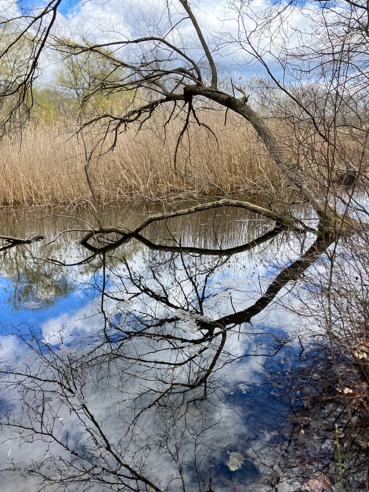
There is a large variation in topography within a relatively small area throughout Bates Woods Park. The elevation in the park ranges from approximately 150 feet above sea level in the northwest corner to 50 feet in the wetlands near the southern edge. Several rocky ridges and knobs with a general north-south orientation contrast with small valleys that include two small ponds and two wetlands that drain into ephemeral streams in the low-lying areas. Overall, the terrain on the north side of the road is higher in elevation, rockier, and more undulating than that on the south side. The southern portion of the park includes forested wetlands at the northern edges of the larger wetland complex extending to the southeast. Off the property, these wetlands drain into Fenger Brook. The 46-acre "Bates Woods" forest that gives the park its name is dominated by mature oak-hardwood forest with old trees. The dominant canopy species are Northern red, black, and white oak, with significant secondary components of red maple and black birch.
Each of the colored trails has its own features and characteristics. Some highlights are the following examples:
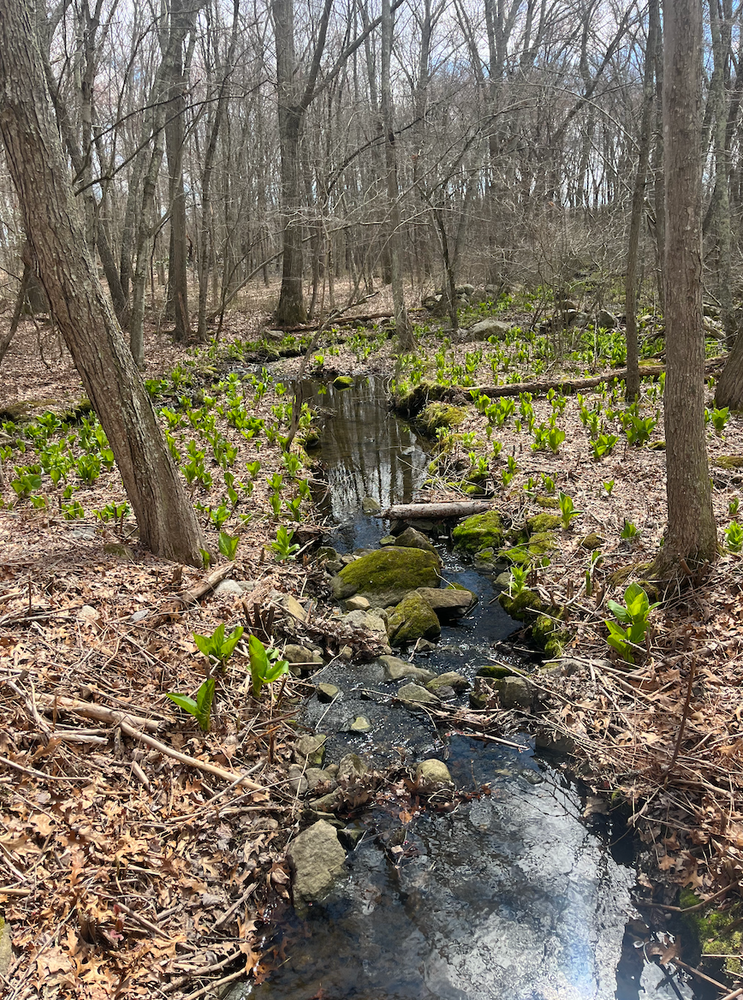
The Jack in the Pulpit Trail (orange) is accessed behind the Bates Friends Forever (BFF) Container across from the Animal Control building. It offers views of wooded wetlands, skunk cabbage and jack in the pulpits. At one point it is a slightly elevated former farm road with bridges over wetlands and benches for pausing to take in the birdsong. It is mostly easy walking, and about 0.3 miles long.
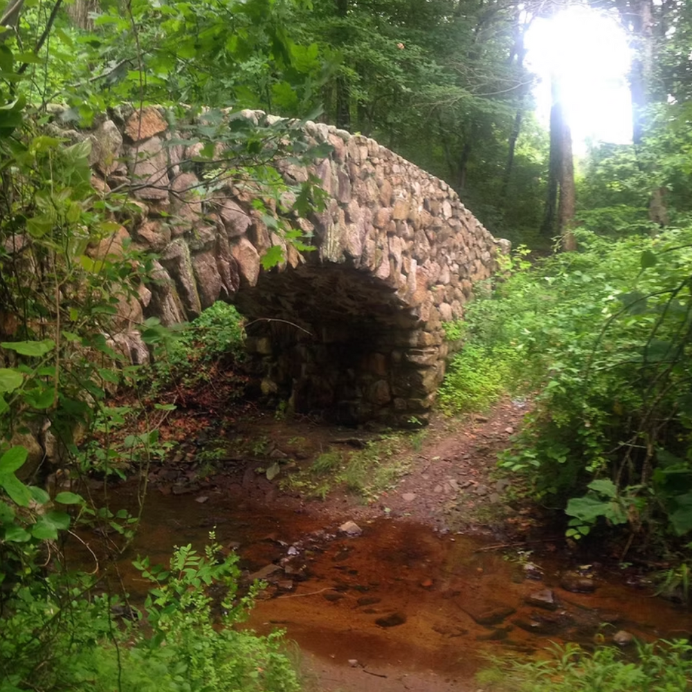
The Bates Woods Road is paved and wide, curving through the woods to end at Ashcraft Road and another locked gate to prevent cars. Save for occasional vehicles with New London Public Works or Greenskies Solar, motorized vehicles are not permitted on the road, but it is still advised to use caution along the road. From this main road, one can see rock ledges, ponds, a number of the picnic/ camping areas, the stone bridge, the ruins of the Skate House and other interesting features. From end to end, it is 0.6 miles. It is an easy walk, although steep and hilly at a few points. Color-blazed trails veer off from the main road on both sides.
Bunny Trail (purple) starts off Bates Woods Road and travels alongside a massive rock ledge that surges out of the ground and up towards the Greenskies solar field completed in 2026 atop a capped landfill. Bunny Trail is easy and about 0.2 miles long.
The Kale Trail (green) slopes down into passable wetlands studded with vernal pools, past a stone wall and across a stream to the back of Clark Land Middle School in Waterford. It is an easy hike of about 0.2 miles.
The Big Loop Trail (marked with red and green blazes) follows the contours of the old landfill but meanders through some of the most beautiful parts of Bates Woods, before connecting to Popsicle Peak Trail (red). Popsicle Peak Trail returns adventurers back to Bates Woods Road along a sometimes wide, sometimes narrow trail between rock outcroppings, pools and a few of the Civilian Conservation Corp picnic/campsites. These two trails are easy/moderate and measure about 0.5 miles together.
Trail Manager
Bates Friends Forever (BFF) is always working to make these trails more accessible, visible and usable. Please join us for regular work days and guided hikes. Learn more at batesfriendforever.org.