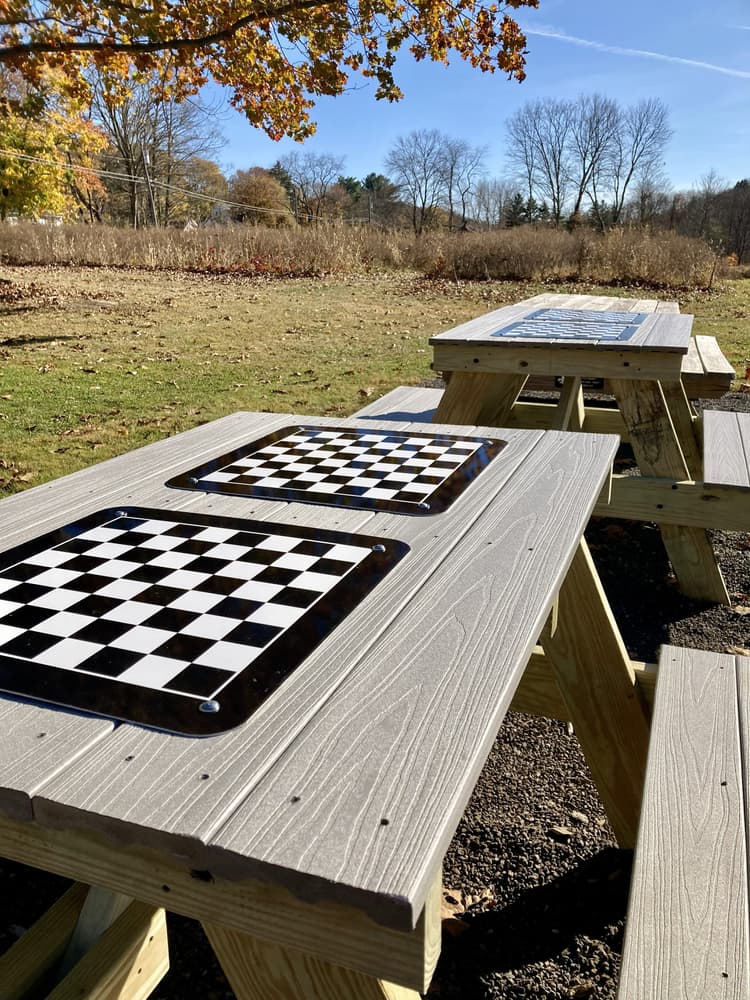
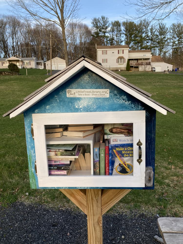
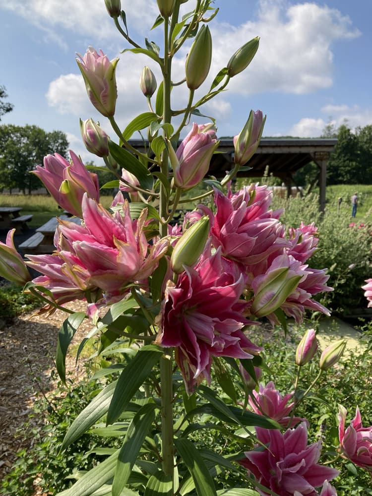
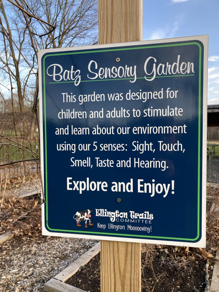
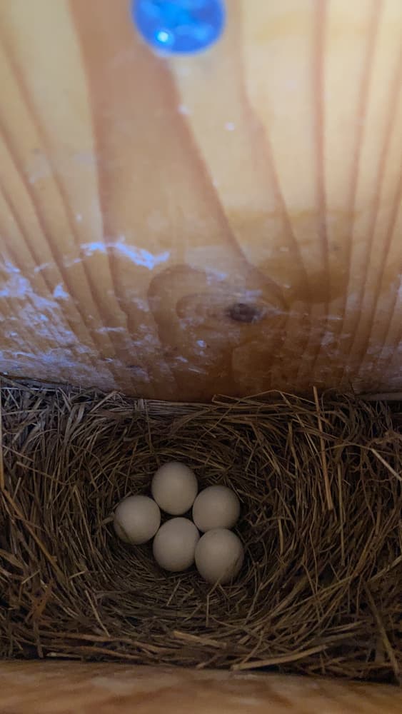
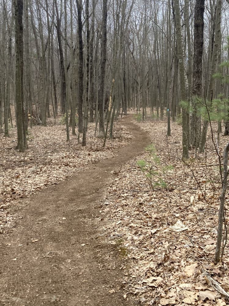
The majority of trails loop through wooded forest over slight sloping terrain. Batz Trail (green-blazed) leads from the parking lot past the library, game and picnic tables, gardens, and an open field on the left. The field offers blue bird nesting boxes and a pollinator pathway.
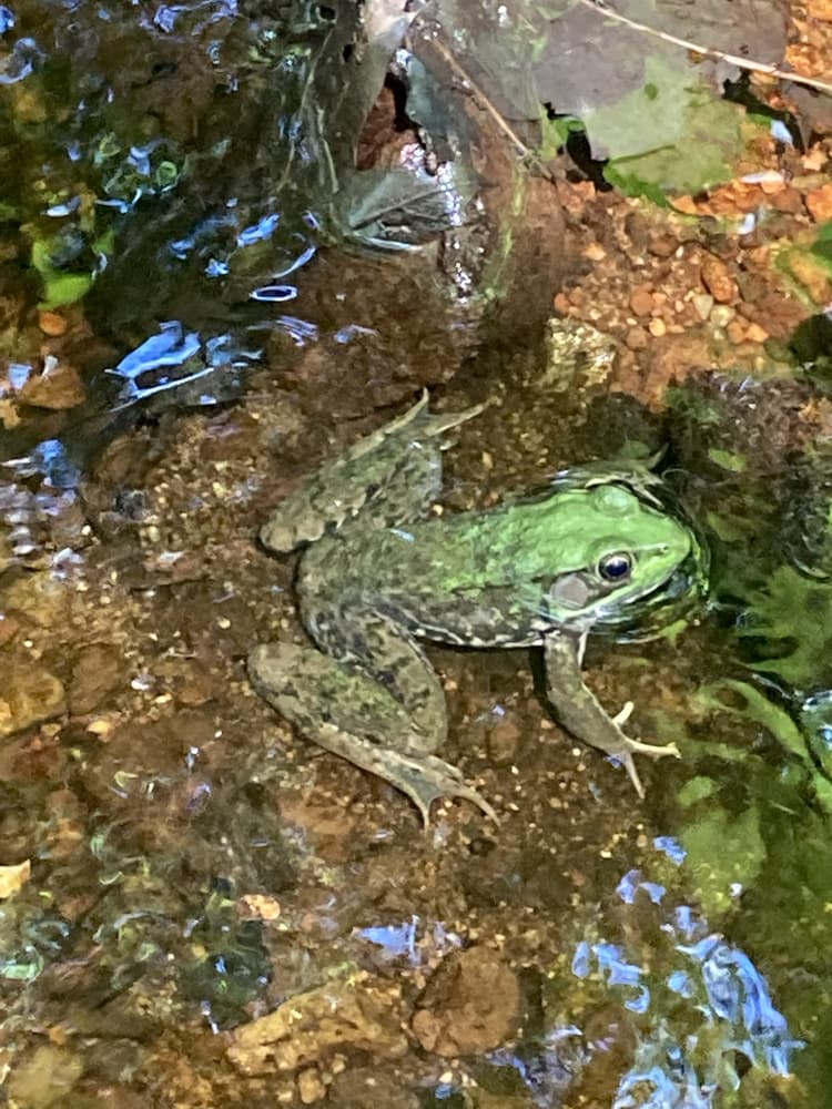
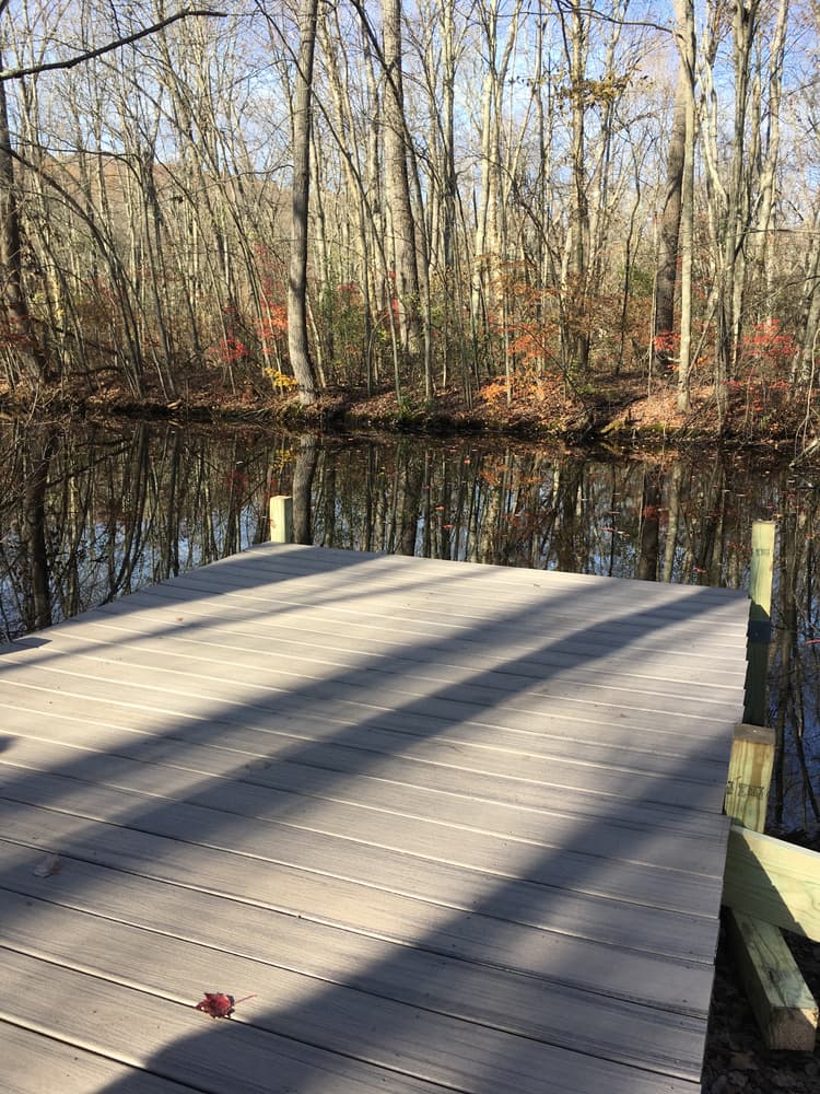
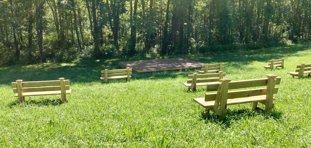
Past the field on the left, the Batz Trail circles a pond on the right complete with a frog platform. It continues over Turkey Brook and connects on the right to an approximately quarter-mile Peach Trail, which circles a field on the northeast section of the property, passes by an amphitheater, and connects back to the Batz Trail.
The Peach Trail also connects at its northwest corner to the Blue Trail, which circles through the forest in the western section of the property, passes a campground near its south end, and leads back to the Batz Trail.
For more detail and to view the PDF map with blaze colors, visit Ellington's trails web page.
Camping is by permit only. Contact the Ellington First Selectman's Office to fill out a permission form in order to camp at the Tent Site.
![]() This trail has Emergency Location Markers (ELM). The markers are small signs that contain a code that can be shared with emergency responders in a time of need. If you have a medical or other emergency while hiking this trail, please call 911 and give dispatch the nearest marker number and Town Code 048. Please stay put, this will help emergency personnel find you.
This trail has Emergency Location Markers (ELM). The markers are small signs that contain a code that can be shared with emergency responders in a time of need. If you have a medical or other emergency while hiking this trail, please call 911 and give dispatch the nearest marker number and Town Code 048. Please stay put, this will help emergency personnel find you.
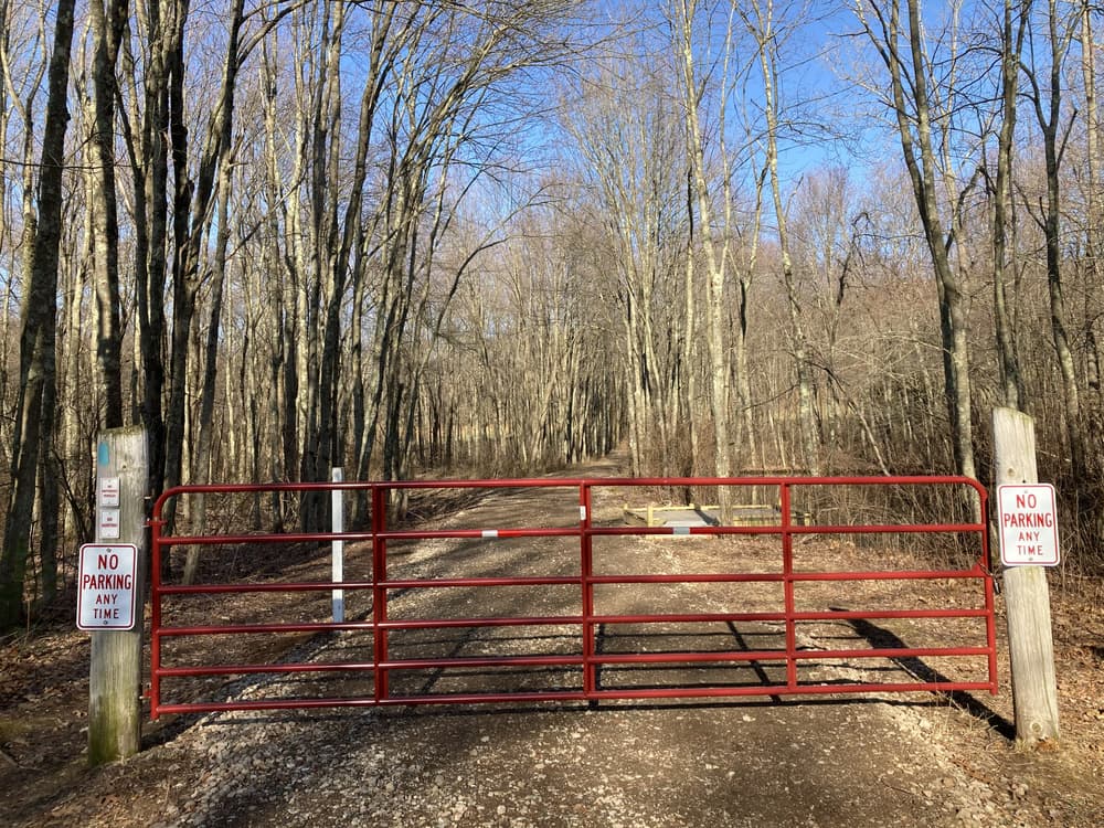
Take Exit 67 for CT-31 toward Rockville/Coventry. Turn onto CT-31 North/Reservoir Road. In 0.3 miles, turn right onto Hartford Turnpike, then left onto East Street. In half a mile, make a slight left onto East Main Street, then a right onto Snipsic Street. Follow for half a mile and then continue onto Shenipsit Street. In another half mile, the parking is on the left.
Take Main Street East to West Road. Turn right onto West Road, then left onto Mountain Road. Follow for 1.3 miles and continue straight onto Shenipsit Street. In half a mile, the parking is on the right.
Success! A new password has been emailed to you.