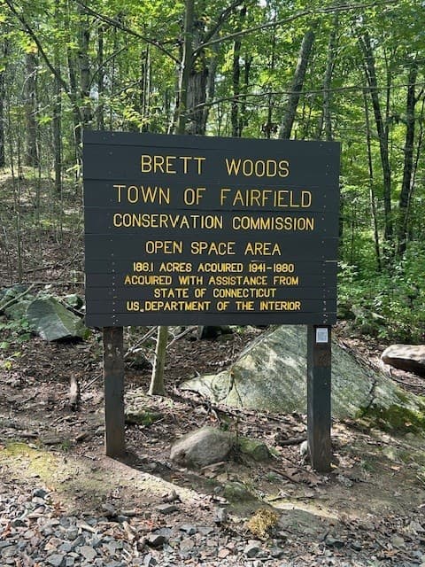
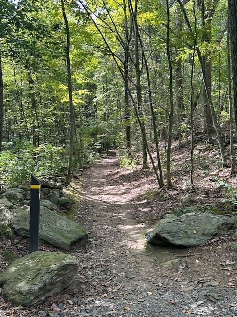
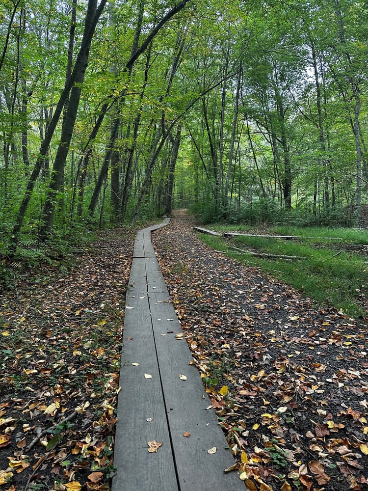
Brett Woods has an extensive trail system. Many of the trails follow the contours of the land, roughly paralleling the ridge and valley system. In some instances, however, the trails cross directly over the ridge line as does the trail that follows the old North Street roadbed. Surface conditions on the trails include bare mineral soil, wet or moist soil, loose gravelly surfaces, ledge outcrops, and grassy areas. The trails vary in length, condition, and degree of difficulty so take care when hiking.
The Yellow perimeter trail is almost two miles long. The Red Trail cuts diagonally across the property and is about 1¼ miles long. The Blue Trail is shorter at about a ½ mile and passes through the camping area.

From I-95, take Exit 17 and head north on Saugatuck Avenue (Route 33). Continue on Riverside Avenue and then Wilton Road, past the intersection with Route 1. Take the next right to cross the river on Kings Highway North and continue on Canal Street. Turn left onto Main Street. At the 4-way intersection, go straight to continue on Easton Road/Route 136.
From Route 15, take Exit 42 and go south on Weston Road for a short distance, then turn sharp left onto Easton Road/Route 136.
Once on Easton Road/Route 136, continue for 2.6 miles, then turn right onto Treasure Road.
From I-95, take Exit 20 and turn north onto Bronson Road for about 2 miles. Take a left on either Hulls Farm Road or Governors Lane and turn right again onto Redding Road.
From Route 15, take Exit 44 and turn south onto Black Rock Turnpike, then immediately turn right onto Congress Street. Follow Congress Street for 2.2 miles miles; just before crossing under Route 15, take a left onto Cross Highway and continue to Redding Road. Turn right onto Redding Road.
Success! A new password has been emailed to you.