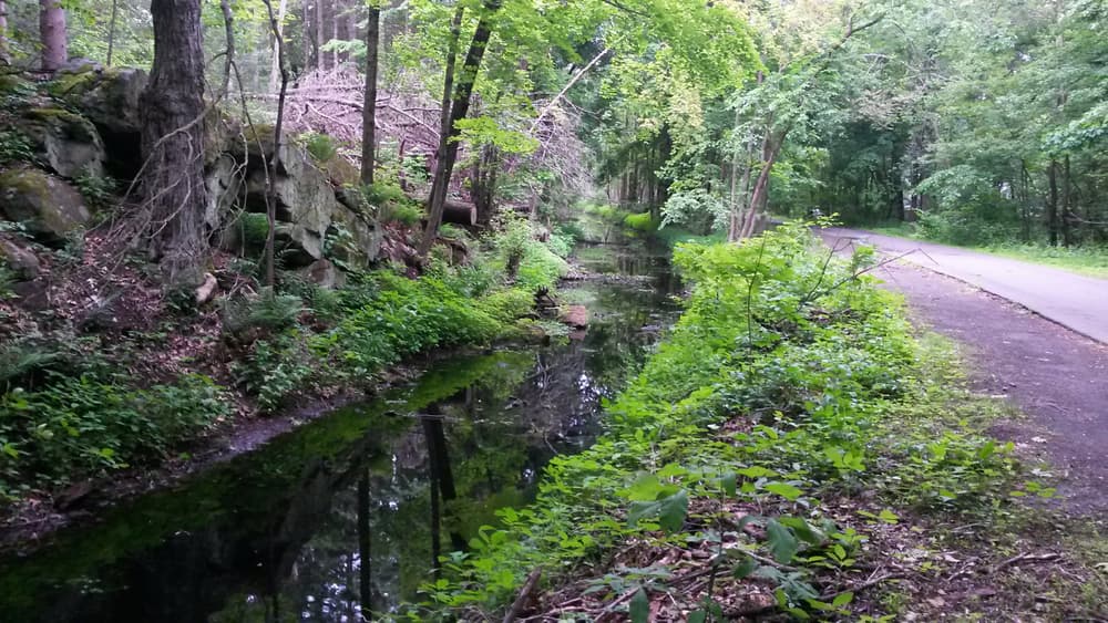
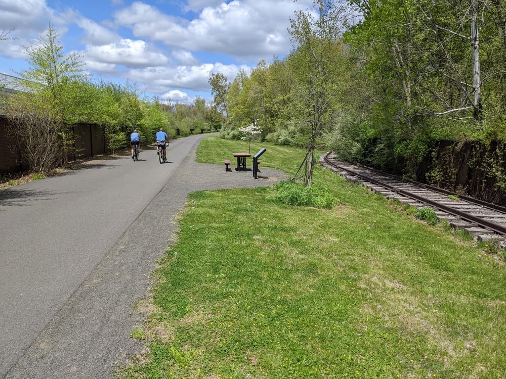
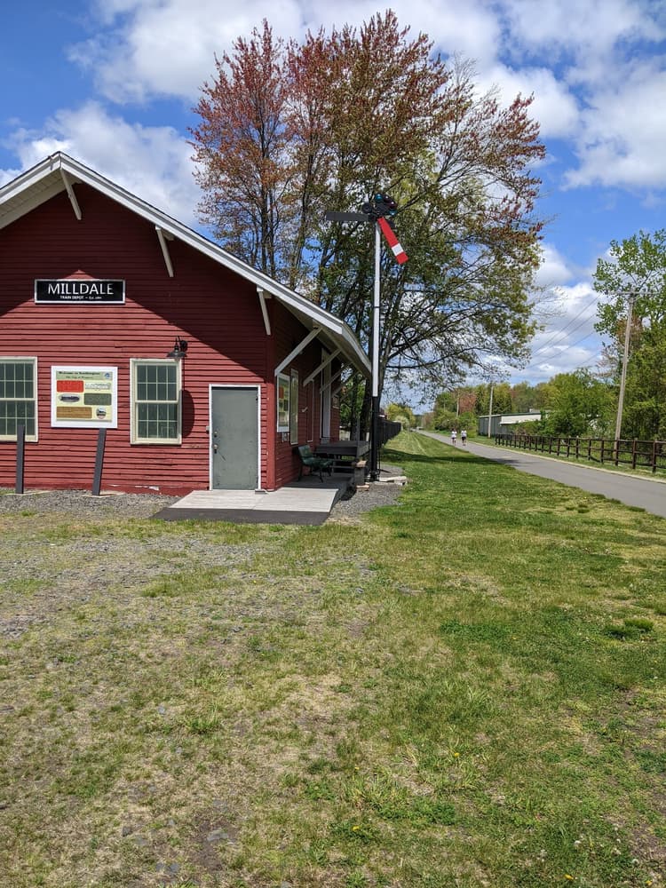
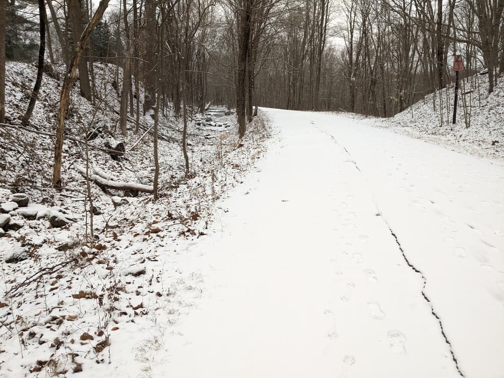
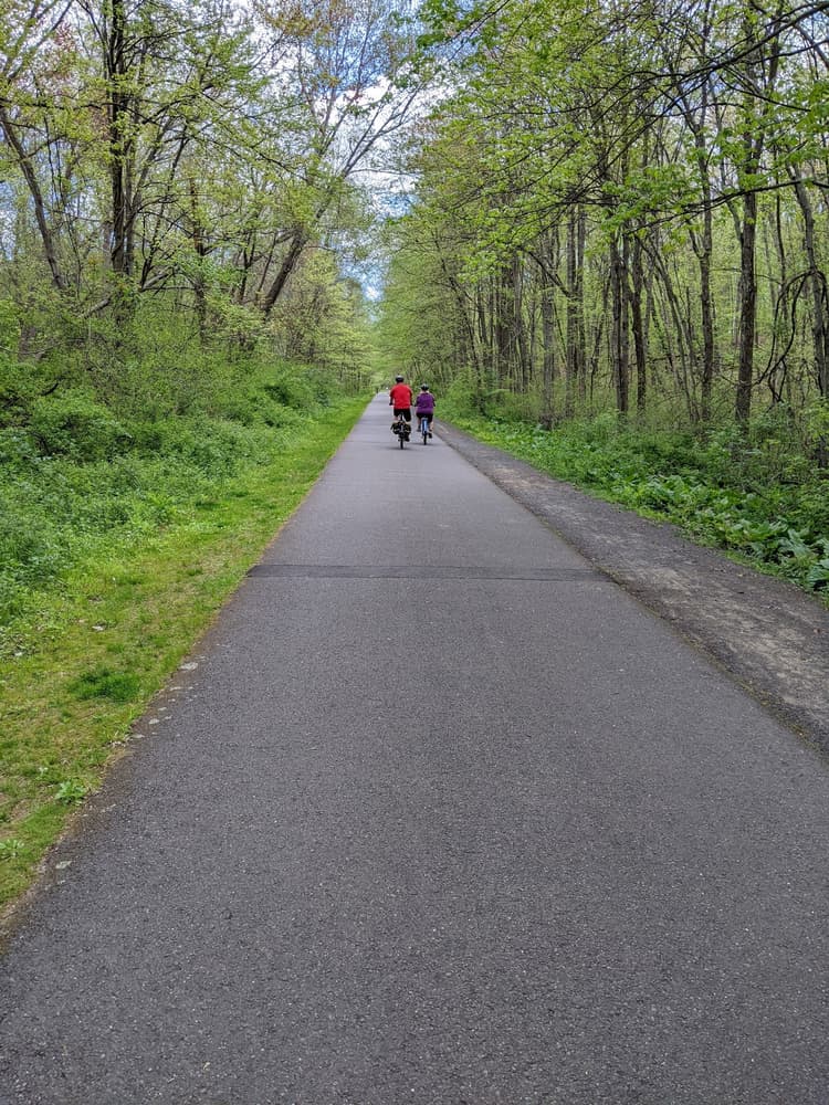
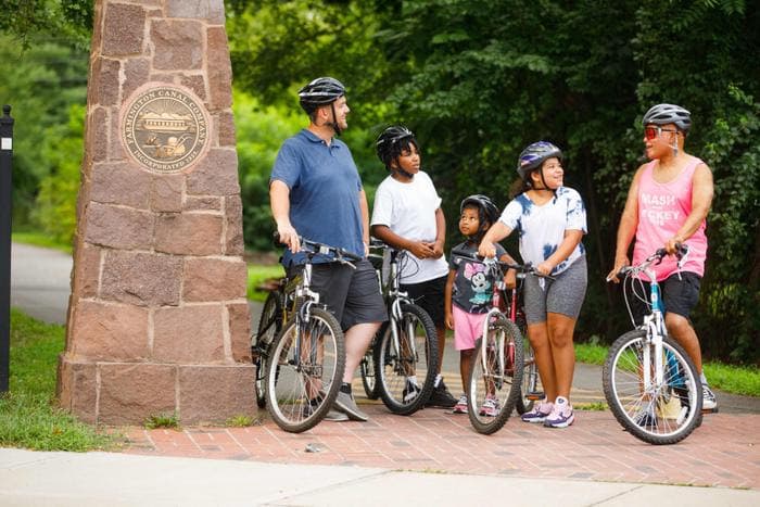
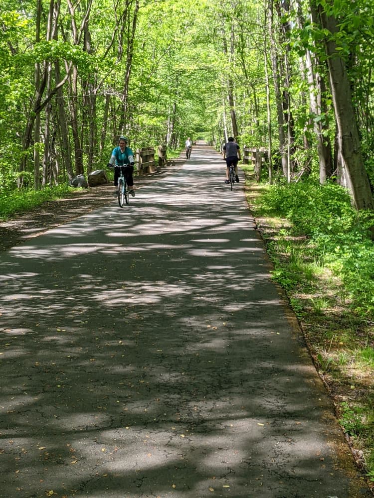
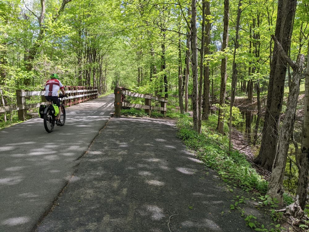
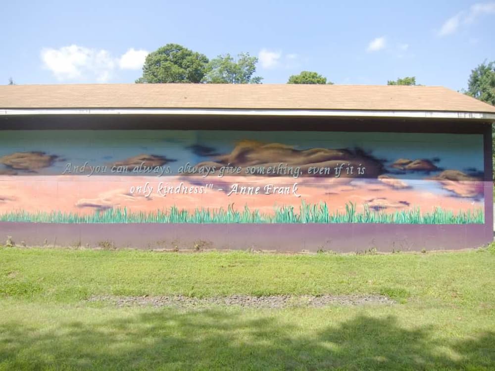
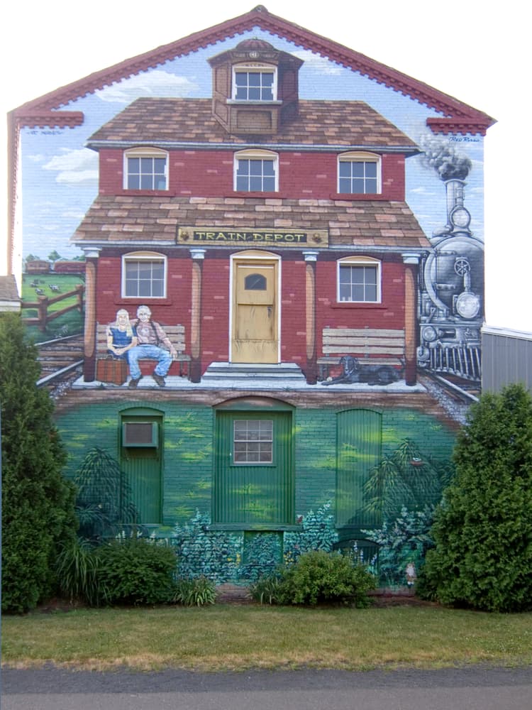
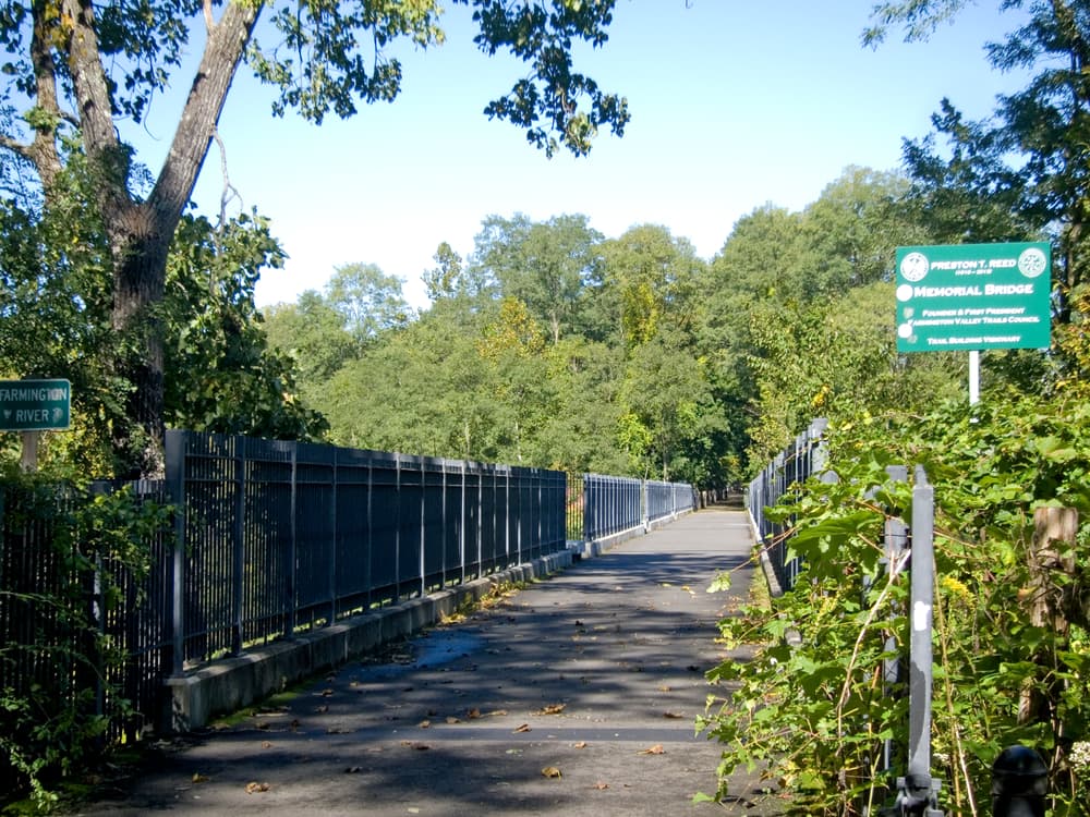
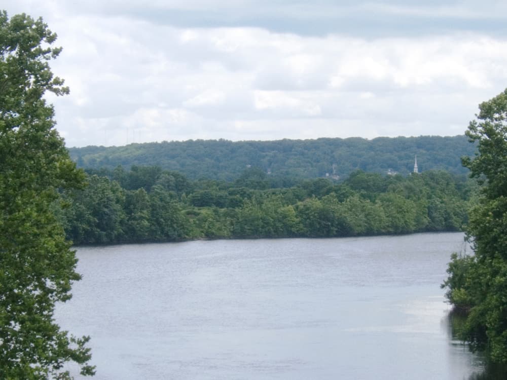
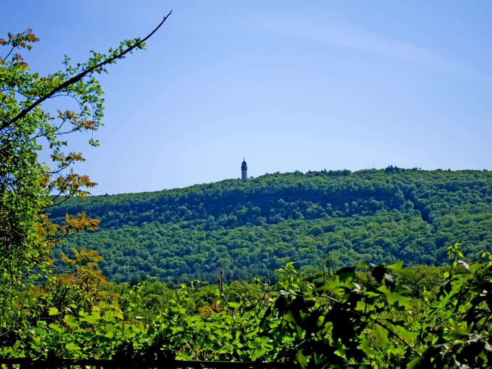
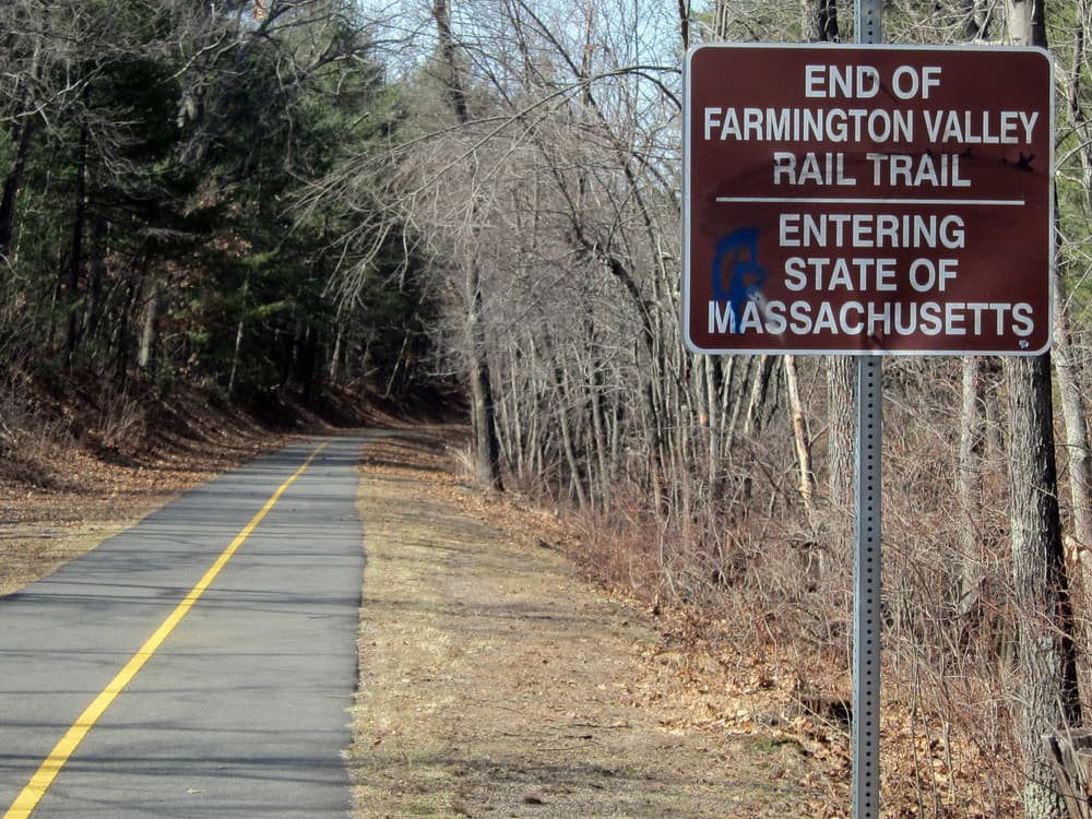
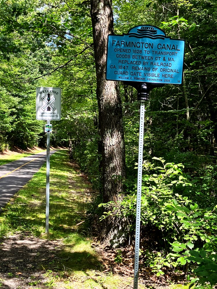
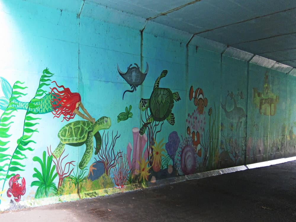
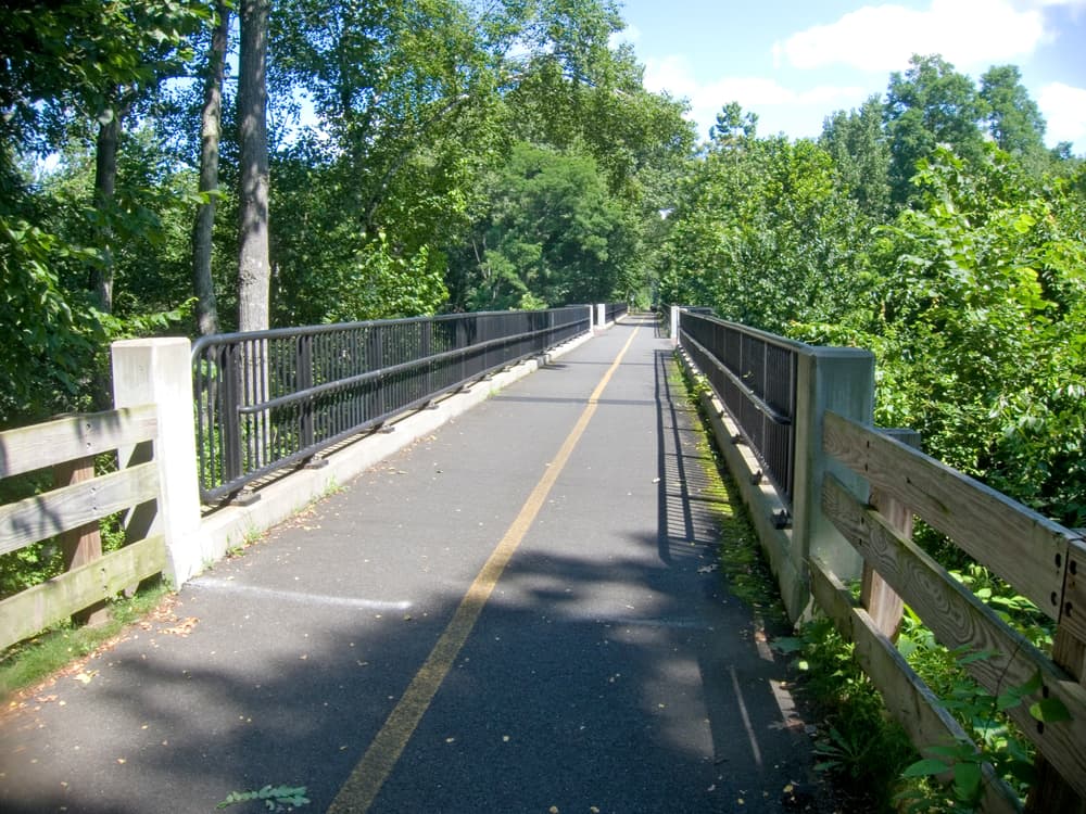
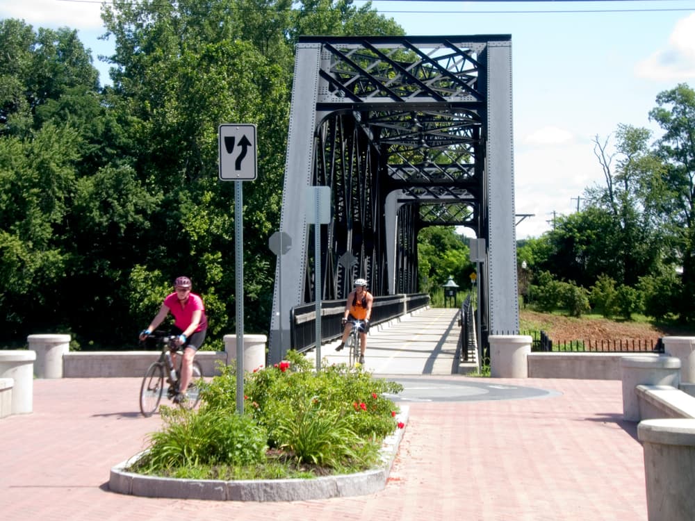
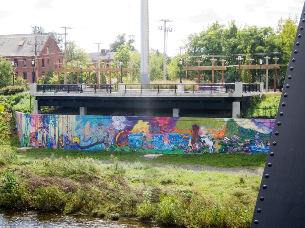
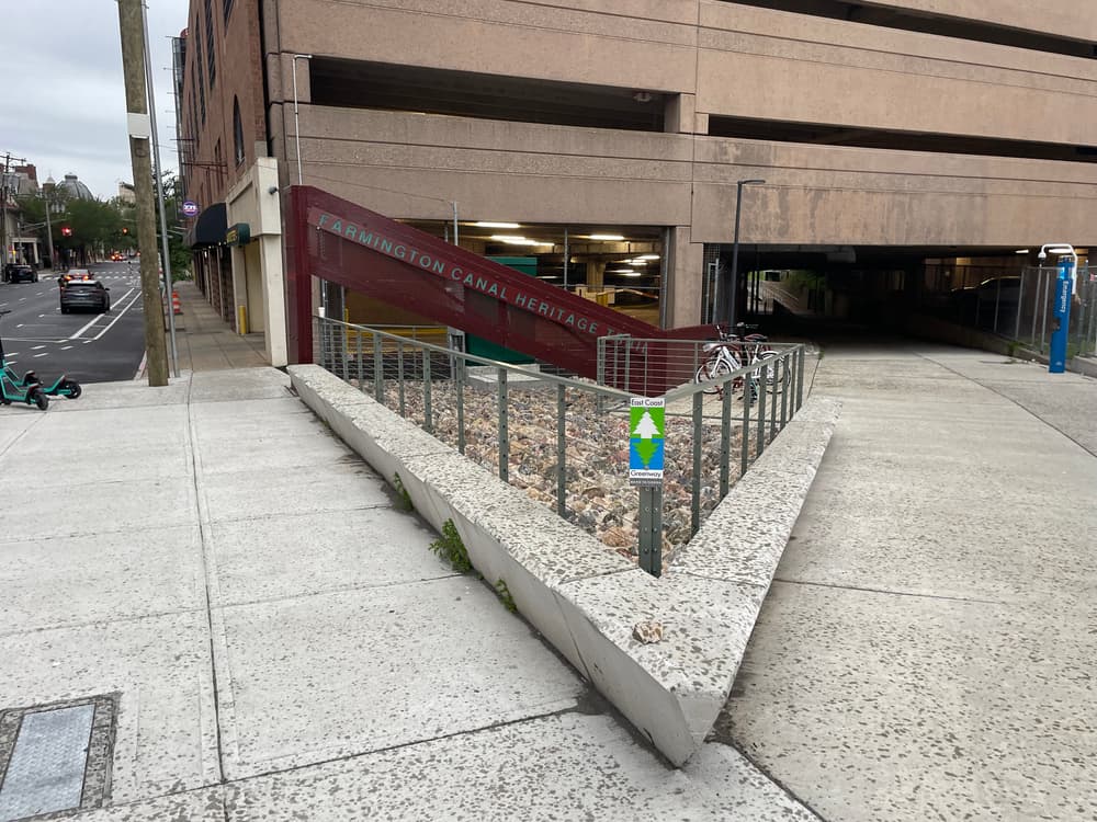
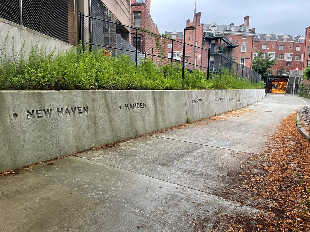
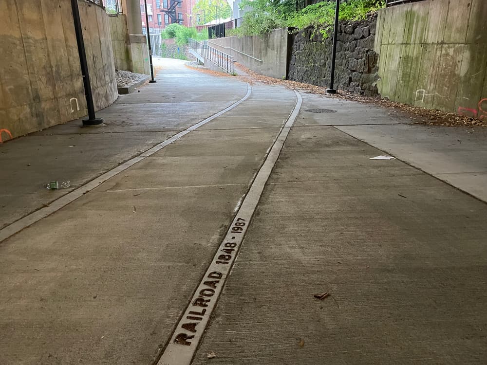
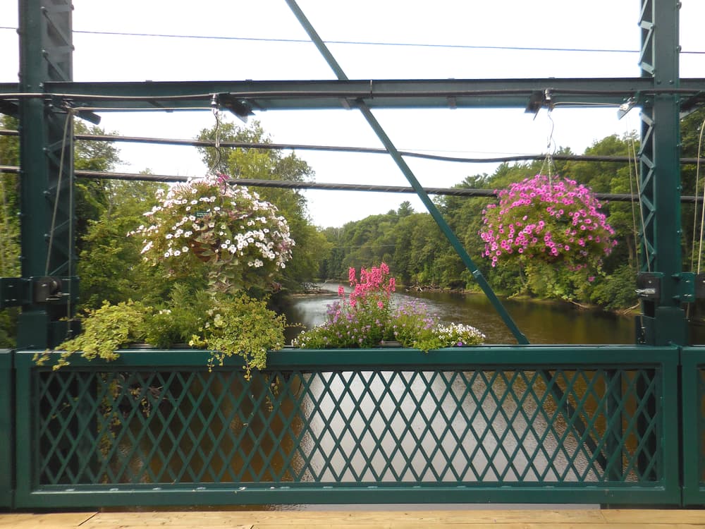
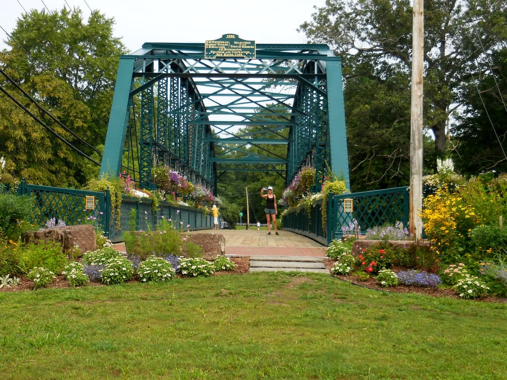
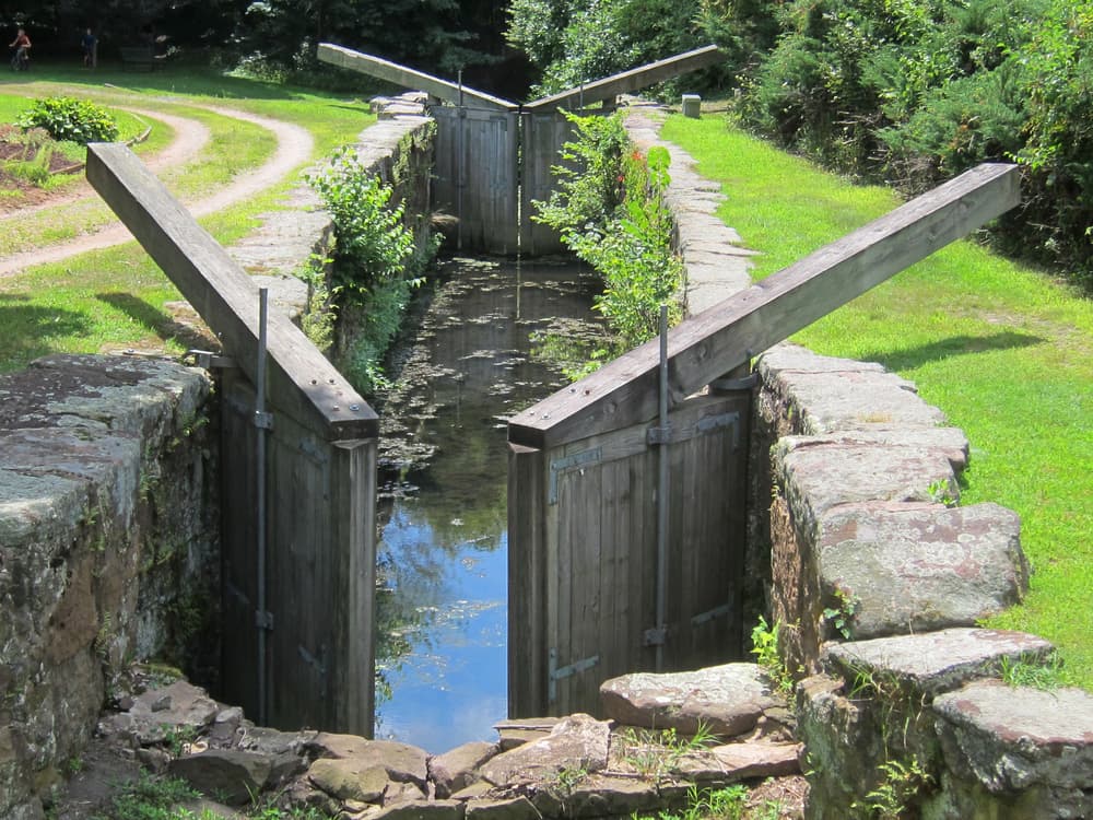
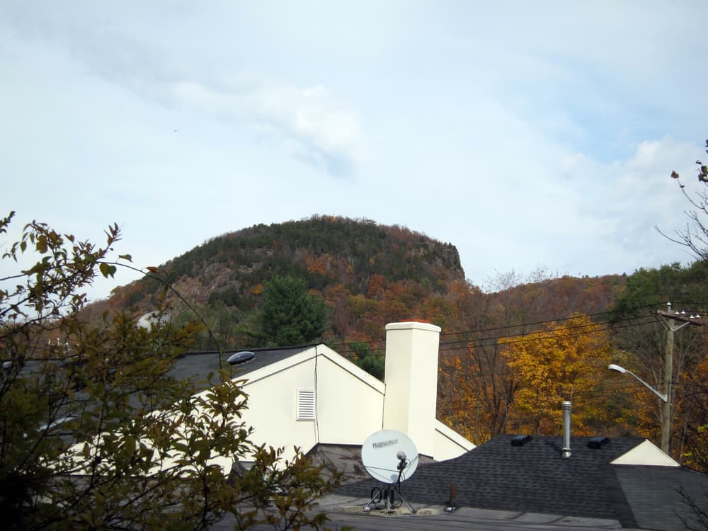
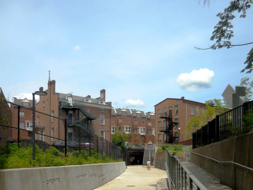
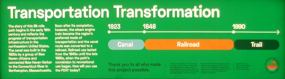
The Farmington Canal Heritage Trail (FCHT) runs from the coast in New Haven to the Massachusetts border where it continues north as part of the 80+ mile New Haven & Northampton Canal Greenway (NHNCG). This multi-use path runs primarily along former rail corridors and canal towpaths through urban, suburban, and rural areas. Along the way are historic buildings, restored canal locks, rail line structures, murals, and other landmarks that provide a rich cultural experience for the trail user.
When complete, the FCHT will be 56-60 miles; currently 48.3 miles are complete. Gaps exist in southern New Haven and from northern Southington through Plainville. Work to close these gaps ranges from the planning stage to active construction. The accompanying map fills the gaps with on-road segments based on the route of the East Coast Greenway. The on-road segments are one of many on-road options for connecting the finished sections.
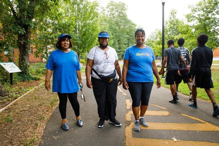
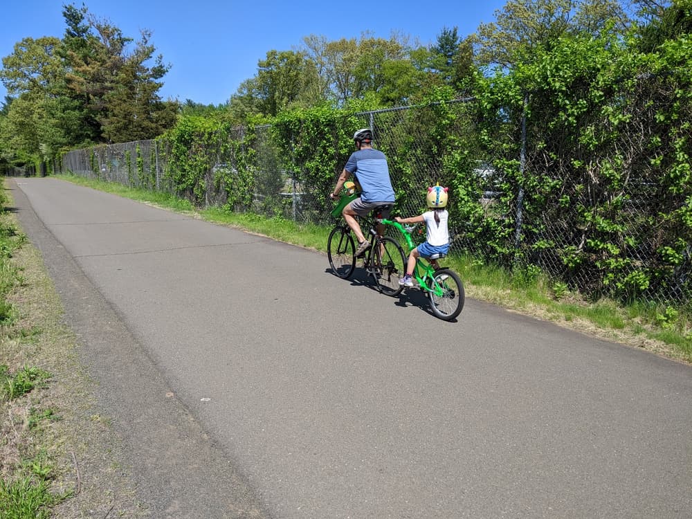
All completed parts are accessible for wheelchairs and strollers. Transition areas may not be accessible, such as road crossings, parking lot access, and some short sections that don't follow the original railroad path. All of the on-road connectors pose some hazard, please use caution.
As a convenience to trail users, the map includes 9.4 miles of the NHNCG trail in the Massachusetts towns of Southwick and Westfield.
Download a gpx file that is a single line of the main trail without spurs. This is created for use in mobile apps and GPS devices.
Farmington Canal Heritage Trail maintenance concerns and reports should be directed to contacts within each of the Towns along the trail which can be found on the Trail Towns page. For additional information, contact the organizations below:
There are many parking areas are located along the Farmington Canal Heritage Trail. See the interactive Connecticut Trail Finder map or the Farmington Valley Trails Council website for additional information.
Success! A new password has been emailed to you.