Over 1000 miles of trail available to explore, and more added each day!

Gay City State Park and Meshomasic State Forest

Gay City State Park offers a glimpse into Connecticut's industrial roots with over 1500 acres of endless opportunities for outdoor fun including the exploration of extinct mill-town ruins and stone foundations.
Trail Activity
Hiking Bicycling
Length
21.5 miles, Network
Difficulty
Easy, Moderate
Town
Hebron
Surface
Packed Earth/Dirt, Wetland
Pets
Permitted on leash
Fees
Yes (Out-of-state Residents)

Description

Gay City State Park is a wonderful place to spend some time enjoying the outdoors and hiking the trails. 
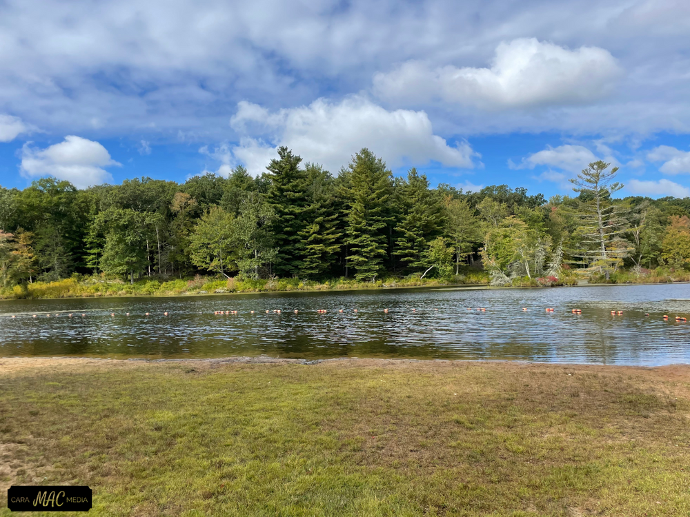
Gay City State Park offers multiple activities. Water activities include swimming and fishing - be sure to check the water quality and fishing guidelines. The park includes a network of trails for cyclists, walkers, and hikers.  

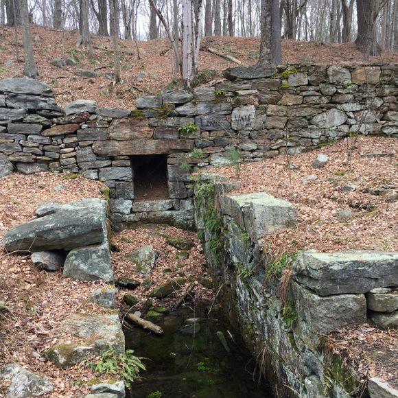
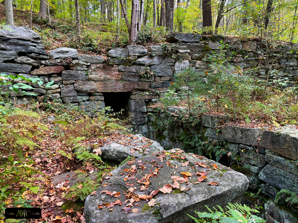
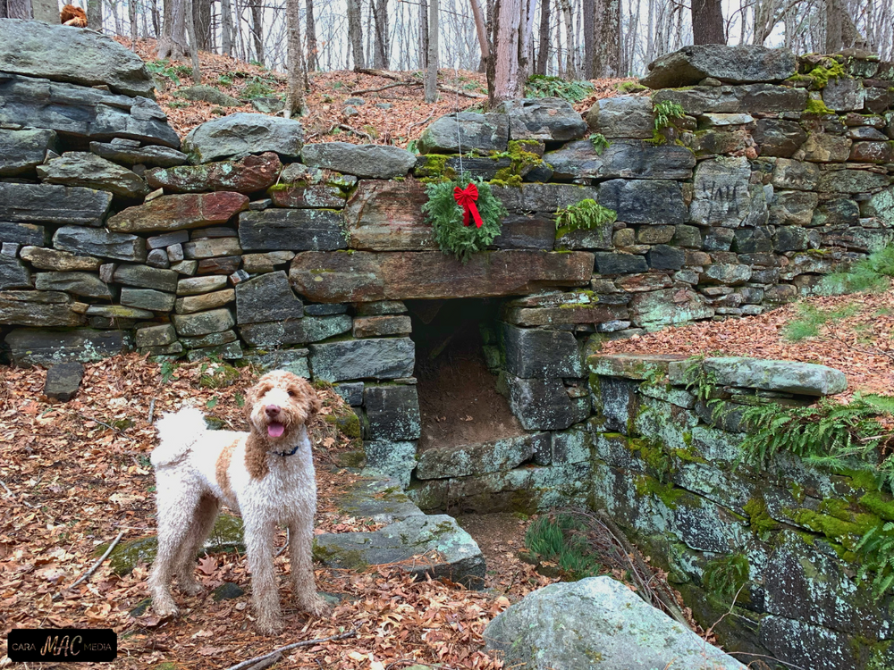
There are picnic areas, and if it piques your interest, explore the ruins of the old sawmill town that called this park home back in the late 1800s.

Other Information

History

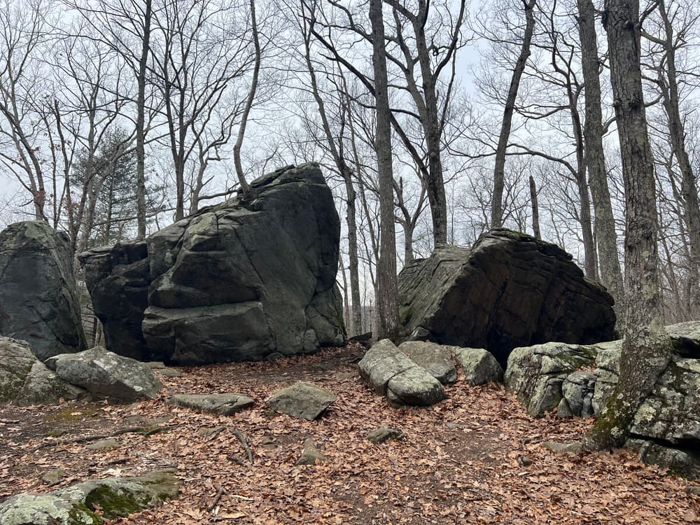
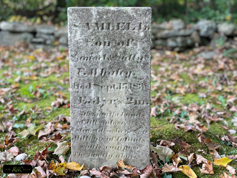
Located on the Hebron-Bolton town line, Gay City's 1,569 acres offer swimming, picnicking and an almost endless opportunity for exploration. The name "Gay City" is derived from a now-extinct mill town that once occupied the site. Today only some tumbling stone foundations, several grass-filled cellar holes and a few silent tombstones suggest its former existence.

Gay City was first settled in 1796 by a religious sect led by Elijah Andrus and later by Rev. Henry P. Sumner. The Gays soon comprised the majority of the 25 or more families who then lived in the community. The residents kept strictly to themselves, existing as distinctly separate from the neighboring communities. They built a sawmill along the Black Ledge River and erected homes from the lumber.

Gay City's fate changed with the successes and failures of several commercial enterprises. A woolen mill on the site 1/4 mile below the present pond was a successful business until extreme pressures caused by the various blockades during the War of 1812 brought its closing. Once revived, the mill burned to the ground in 1830, beginning the town's decline with the exodus of many people to urban factory jobs. Rev. Sumner's son built a paper mill which again revived the town somewhat until the Civil War, when many of the town's younger men were killed in battle. Soon after, the mill burned down, triggering the final demise of Gay City and nature's reclaiming of the land. In 1944 Gay City was designated as a state park.

Fees

There is a weekend/holiday parking fee at Gay City State Park for non-residents. Gates open for the season on the third Saturday in April. They are opened daily at 8:00 am and closed at sunset. Gates close for the season after Columbus Day weekend. Winter parking is available off-season.

Facilities
  • Accessible parking and picnic tables
  • Bathrooms (seasonal)
  • Youth group camping site
  • Note to Swimmers:  please read the Beach Regulations and Swimming Safety Information before entering the park and check current information on swimming water quality
  • Pets on a leash are permitted in picnic areas and on hiking trails.  Pets are not allowed on the beach. 
  • The park is open from 8 am to sunset. Gates open for the season on the third Saturday in April. They are opened daily at 8:00 am and closed at sunset. Gates close for the season after Columbus Day weekend. Winter parking is available off-season.

This property was acquired and/or developed with the assistance of the Land and Water Conservation Fund

Trail Manager

For more information, visit the CTDEEP State Parks website or contact:

CT DEEP: Gay City State Park
Gay City State Park
435 North Street
Hebron, CT 06248
(860) 295-9523
View website
Connecticut Forest & Park Association (CFPA)
16 Meriden Rd
Rockfall, CT 06481
860-346-TREE
View website

Trail Tips

Respect Wildlife
Avoid known animal mating or nesting areas during sensitive times.
Legend
Hide All

Trailhead Information

Park Location:

Route 85
Hebron

Directions:

From the South/New London area: Follow Route 85 north. Park entrance is 6.7 miles past the intersection with Route 66.

From the Glastonbury area: Take Route 85. Park entrance is 2.0 miles past the intersection with Route 94.

From the North/Hartford & Massachusetts area: I-384 East to Exit 5. Take Route 85 south for 4.7 miles.

Click on a parking icon to get custom directions
Please Log In or Create Account to add comments.
SHARE THIS TRAIL
PRINT THIS TRAIL

Add Trail Log

Please wait…
Join In on the Fun!
Log in or create an account below to unlock all the great features of Connecticut Trail Finder: keep track of trails you want to do, preserve memories of trails you’ve done, and more!
Your log in attempt was not successful. Please try again.
    Lost your password? Reset your password
    Don't yet have an account?
    There was an issue with your submission. Please try again.
      * Indicates required field
      Already have an account? Login here
      Enter your username, and we will send you a new, randomly generated password to your email account.
      There was an issue with your submission. Please try again.

        Success! A new password has been emailed to you.

        Log in now

        Please wait…