New Feature:Now earn badges with a free CT Trail Finder account!

Hemphill Woods

Hemphill Woods has trails that travel through wetlands, meadows, and forested lands and offer views of the ruins of an old homestead.
Trail Activity
Hiking
Length
1.1 miles, Loop
Difficulty
Easy, Moderate
Town
Hampton
Surface
Packed Earth/Dirt, Grass, Wetland
Pets
Permitted on leash
Fees
No

Description

The Hemphill Preserve rests on both sides of Old Canterbury Road in Hampton. Located in the Burnham Brook drainage basin, the Preserve consists of two parcels that once formed an 18th-century farmstead. The original homestead still stands on the east parcel, facing the stone ruins of an outbuilding on the west parcel. The center of the Preserve is dominated by wetland soils.

In the 9.25-acre west parcel, stonewalls are lined by large oaks and Shagbark Hickories with young oaks and hickories covering the interior.  A writer’s cabin sits on the north edge near mature Big Tooth Aspen, and the western edge boasts a dense understory of Burning Bush. The shrubby undergrowth and wetlands provide a good shelter for wildlife and a nice migrant trap for birds. There is a blazed hiking trail on the east parcel about 1.25 miles in length. 

In the 34.5-acre east parcel, wetland areas are dense with shrubbery home to the Ovenbird and Rose-breasted Grosbeak. This parcel’s outer edges are covered with an oak and hickory forest, while the wetter inner areas contain Yellow Birch and Red Maple. The northeastern part of this parcel is rockier with a number of glacial erratics.

Other Information

Rules

  • Park in designated areas only.
  • Stay on marked trails.
  • Respect other users.
  • Carry out what you carry in.
  • Do not cut or collect living plants.
  • Help protect all natural and cultural resources.
  • Keep your pet leashed.
  • No fires allowed.

Trail Manager

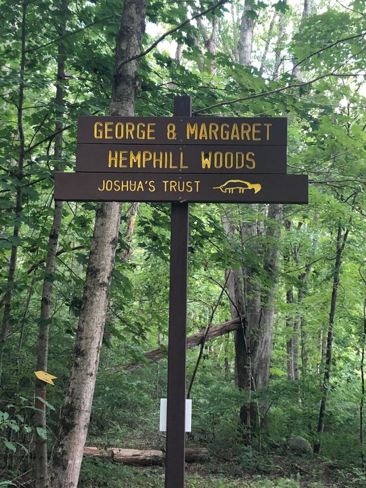
Joshua's Trust preserves natural habitats and heritage sites in northeastern Connecticut. To learn more contact:

Joshua's Trust
Joshua's Trust
624 Wormwood Hill Road
Mansfield Center, CT 06250
860-701-8035
View website

Trail Tips

Plan Ahead and Prepare
Be prepared for emergencies. Pack extra clothing, food, and water and also a flashlight, first aid and repair kit, matches/fire starters, whistle, signaling mirror, and pocket knife.
Legend
Hide All

Trailhead Information

From the intersection of Route 198 and Route 6

Go 4.3 miles east on Route 6. Turn right onto Route 97 South. The next turns come quickly! After just 0.1 mile take a left onto Cemetery Road. Continue for 0.3 miles and take a slight right onto South Bigelow Road. After a short 0.1 mile, take a left onto Sand Hill Road. Travel for 1.2 miles and then continue straight onto Old Canterbury Road. Follow Old Canterbury Road about 0.25 miles. Look for Trust signs on your left and park in the pull-off area on the left.

Click on a parking icon to get custom directions
Please Log In or Create Account to add comments.
Add a Service
Find businesses and organizations that are located around this trail that support adventuring outdoors!
Legend
Hide All
Hide All
No services shown. Try zooming out.
Hang Tight!
Nearby services are loading
SHARE THIS TRAIL
PRINT THIS TRAIL

Add Trail Log

Please wait…
Join In on the Fun!
Log in or create an account below to unlock all the great features of Connecticut Trail Finder: keep track of trails you want to do, preserve memories of trails you’ve done, and more!
Your log in attempt was not successful. Please try again.
    Lost your password? Reset your password
    Don't yet have an account?
    There was an issue with your submission. Please try again.
      * Indicates required field
      Already have an account? Login here
      Enter your username, and we will send you a new, randomly generated password to your email account.
      There was an issue with your submission. Please try again.

        Success! A new password has been emailed to you.

        Log in now

        Please wait…