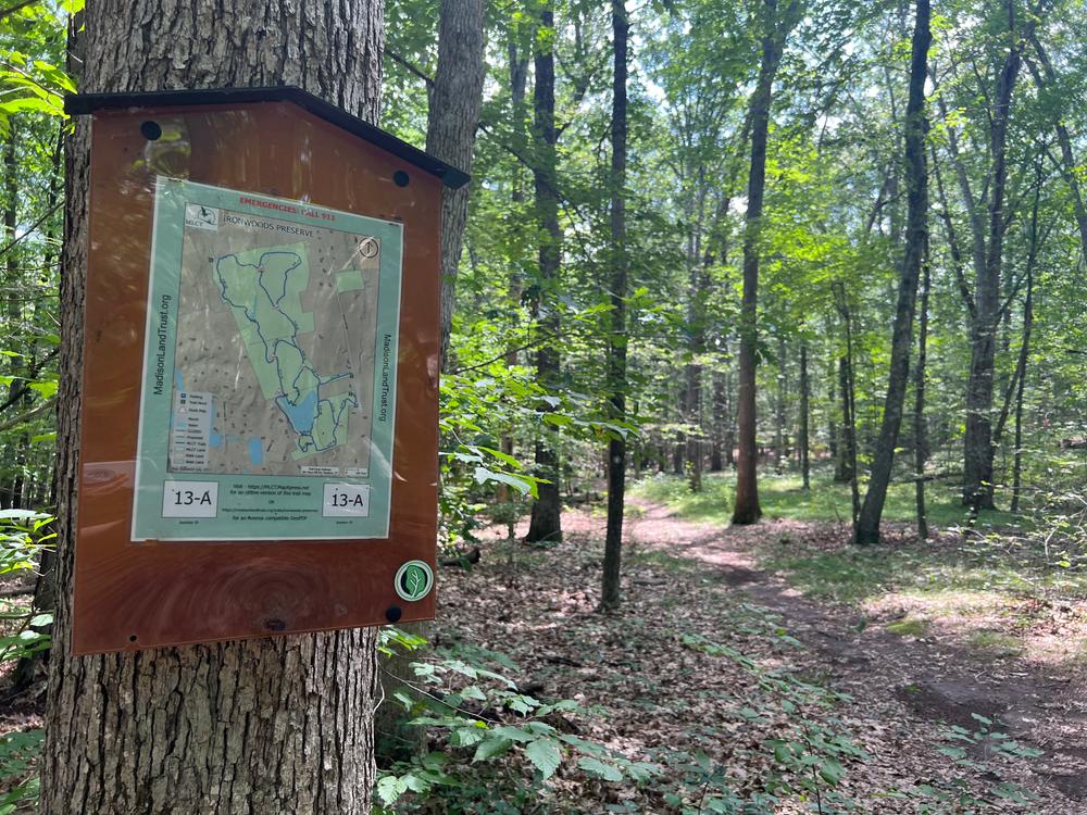
From the parking area, the trail starts after about 600 feet along the path parallel to the stone wall on the left and the fence on the right. At the southwest corner of the field, the trail begins at the woods and is indicated by the blue blazes. The second-growth forest encountered throughout the hike is typical of the oak-hickory forest type. Common species are the white, red, black, and chestnut oaks, beech and sugar maple on slopes and dry ridges, and red maple, yellow and black birches in the lower, moist, cooler areas.
The trail descends and crosses through a wet, and sometimes muddy, red maple swamp. The trail then crosses the small stream and ascends a hogback. On the very top, where exposed ledges testify to the shallowness of the soil and dry conditions, slow-growing chestnut oaks abound and eastern red-cedar occur. The latter, members of the Juniper family, require abundant sunlight. Their presence here indicates that the forest canopy on the ridge top has been quite open for a long time. This fact is also revealed by the dense understory of blueberries, huckleberries and grasses.
The trail descends, gradually at first and then steeply, past exposed ledges to cross the stream that drains the watershed on the western side of the ridge.
Just beyond the stream (0.3 miles from the trailhead), the trail splits. The trail turns right (north) and passes several probable vernal pools (in spring), before ascending to higher ground. Rock outcrops are common—their smooth rounded tops are the result of glacial “grinding” which occurred over 10,000 years ago. The trail ascends and descends several small ridges—hogbacks. The trail then descends from the highest ridge (where a house is visible on the left), to a junction where the loop cuts back to the left. This can be followed back to the junction mentioned earlier.
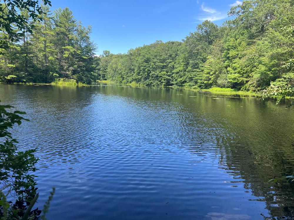
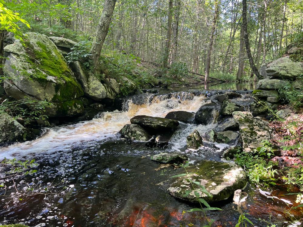
Following the path north, the trail crosses a stream (which soon joins the Iron Stream). There is a fine step-stone crossing here. This section of trail passes through a managed private forest that recently was harvested. Further on, the trail passes along the Iron Stream, then over two rocky outcrops before it descends to the old iron smelter works. The trail ends here, at the dam site (0.8 miles from the trailhead). A monument describing the site was placed here in 1989 by the MLCT and the Madison Historical Society.
Return along the trail to the junction and, for variation, take the fork (straight ahead to the south). The trail ascends and descends the ridge (by several homes), passes along a wetland to the east, and through a laurel thicket. Just before an old fence line marking private land, the trail turns sharply left (east), crosses the stream that drains the wetland, and soon rejoins the trail leading back to the trailhead.
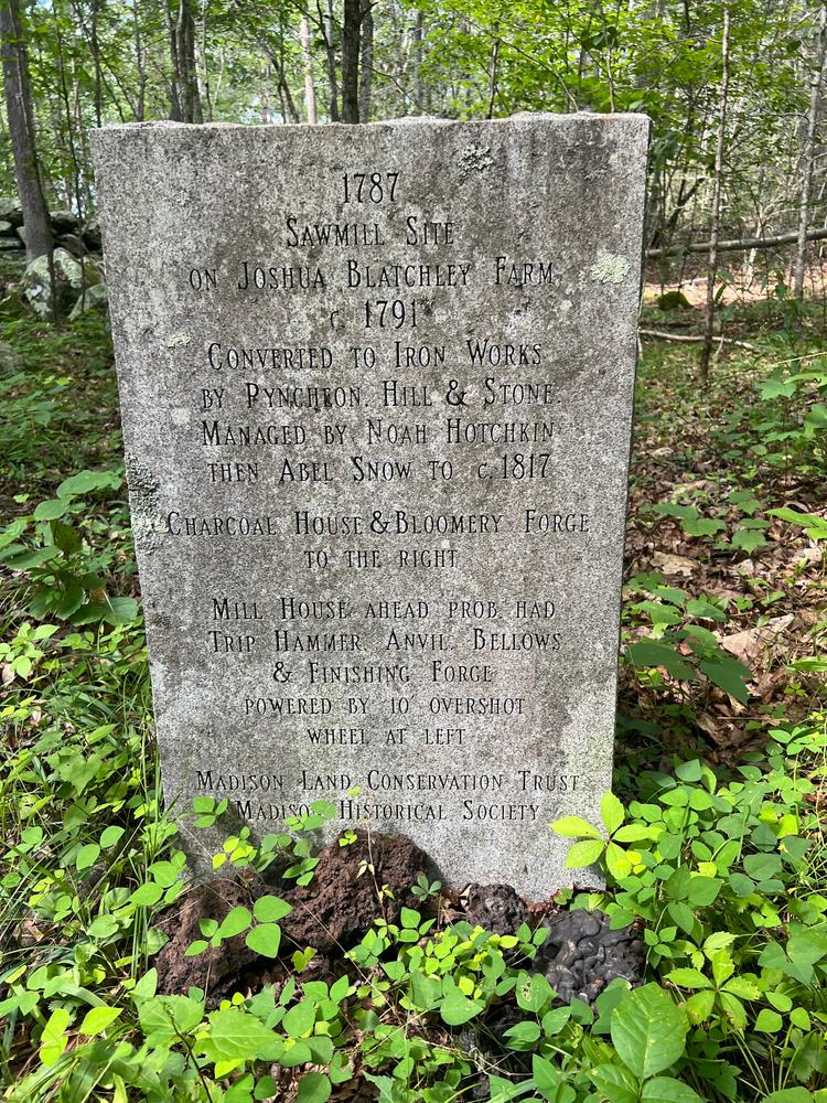
Remnants of an early bog ironworks.
In the late 1700s, Henry Hill, Joseph Pyncheon, and Redad Stone acquired a four-acre mill site on Joshua Blatchley’s farm. After 2 to 3 years as a sawmill, it was converted to an ironworks, which operated successfully until about 1820, by which time readily available bog iron ore and wood for charcoal had been quite depleted.
The ironworks was small, the forge hearth being about 3 feet square and 1.5 to 2 feet deep with an open top. An air pipe entered one side about halfway up. Next to the 16’ x 30’ forge building was a charcoal house about 14’ x 22’. The nearby mill was probably powered by an overshot wheel about 10’ x 4’ wide. The mill contained a large bellows and a heavy trip hammer and anvil.
In operation, the charcoal-fired forge reached high temperature aided by a continuous blast of cold air from the waterwheel-powered bellows. After being washed, pieces of bog iron ore the size of ping pong balls were fed directly into the fire. At a temperature of 2600 to 2700 degrees Fahrenheit, the silicon-based impurities melted and formed a liquid slag about the irregular agglomeration of iron. The molten slag was raked or drawn off. Tons of that slag still litter the site. After about 6 hours of this, the small lumps of ore became a spongy lump of malleable iron weighing about 30 to 40 pounds.
To further reduce the slag inclusions and to refine them, the hot iron was repeatedly drawn out into bar shapes under the weight of the drop hammer. Any remaining impurities ran lengthwise within the bar and provided great toughness and rust resistance.
Bog iron ore is a deposit of ferric hydroxide or limonite in the bottoms of ponds, swamps or bogs. These deposits result from the action of iron “fixing” bacteria that decay the swamp vegetation. Deposits range from the size of peas and cotton balls to solid layers, most often colored reddish or dark brown, and contained from 20 to 50% useable iron. Interestingly, the ore can regenerate in 5 to 25 years depending on the amount of decaying vegetation, the amount of iron in the water, and on the condition for bacterial activity.

From Route 80, turn north onto Race Hill Road and follow it to the trailhead. Parking is available on the west side of Race Hill Road (located at 227 Race Hill Road, Madison, CT 06443). The parking area is not plowed in winter.
Success! A new password has been emailed to you.