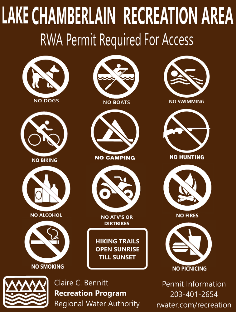
Over 1000 miles of trail available to explore, and more added each day!

Lake Chamberlain

A Regional Water Authority (RWA) Recreation Area, Lake Chamberlain has over 5 miles of trails around the lake. Permit required. 
Trail Activity
Hiking Cross-country skiing Horseback riding
Length
5.9 miles, Network
Difficulty
Easy, Moderate
Towns
Bethany, Woodbridge
Surface
Packed Earth/Dirt, Lake/Pond
Pets
Not Permitted
Fees
Yes

Description

A Regional Water Authority (RWA) recreation area, 
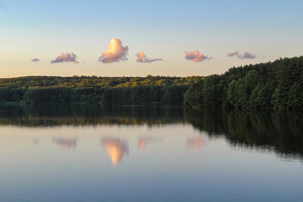
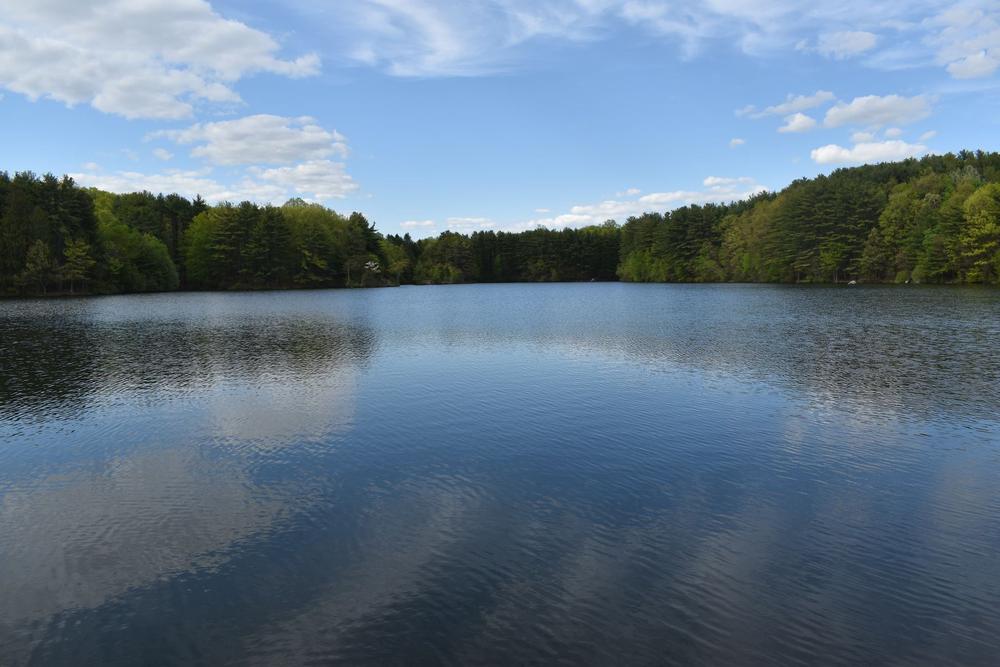
Lake Chamberlain trails surround one of five reservoirs in the Sargent River and West River watershed. Created in 1890, the reservoir was enlarged in 1958 as part of the West River water supply system.

The white square Eric Stone Trail circles Lake Chamberlain with scenic views. 

At the west of the Lake Chamberlain Dam and the southwest turn of the Eric Stone Trail, the purple triangle Stony Loam Trail connects Chamberlain’s trail system to the Woodbridge Greenway. The trail is named for the dominant soil type in the area.

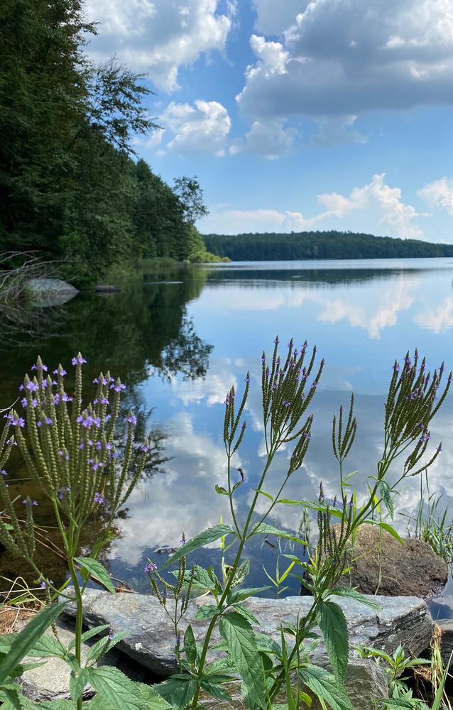
On the east side of the lake, the purple circle Old Field Trail traverses historic stone walls once used for farming. To the southwest of the lake, the green circle Sargent River Trail is named for the Sargent River that feeds into the Lake Chamberlain reservoir. The trail passes through a wide range of forest types, including a larch plantation, hardwood swamp, and transition hardwoods. Club moss or ground pine (an evergreen plant about six inches tall) is abundant. 

Read more at the South Central Regional Council of Governments (SCRCOG) website (Woodbridge).  

Other Information

Attention: Permit required for accessing the property

A permit can be acquired through the RWA recreation website

Permitted/Prohibited Activities:
  • This site is for passive use only.
  • No mechanized vehicles.
  • Hiking only.
  • State fishing license is required for shore fishing.
  • Wading and swimming are prohibited.

Horses are permitted on certain trails with a permit from the Bethany Horsemen’s Association.

Review the RWA Rules and Regulations for the complete list of park rules.

Dogs are not permitted in RWA parks.

Trail Manager

For more information on this park, visit the Regional Water Authority website or contact:

South Central Connecticut Regional Water Authority
90 Sargent Drive | New Haven, CT 06511
203-401-2654
View website

Trail Tips

Plan Ahead and Prepare
Be prepared to find your way home. Familiarize yourself with the area before you set out and bring your map and compass along.
Legend
Hide All

Trailhead Information

There are two gated entrances and parking areas for Lake Chamberlain off Sperry Road, one near Sperry Falls and one near Morris Road. Take Litchfield Turnpike (Route 69) to Morris Road and a left onto Sperry Road.

Note: the section of Sperry Road towards Sperry Falls is only open in summer, closed in winter.

Click on a parking icon to get custom directions
Please Log In or Create Account to add comments.

Trail Alerts

Trails
Permit Required

A permit is required before using trails. Please read the detailed trail post for more information. 

SHARE THIS TRAIL
PRINT THIS TRAIL

Add Trail Log

Please wait…
Join In on the Fun!
Log in or create an account below to unlock all the great features of Connecticut Trail Finder: keep track of trails you want to do, preserve memories of trails you’ve done, and more!
Your log in attempt was not successful. Please try again.
    Lost your password? Reset your password
    Don't yet have an account?
    There was an issue with your submission. Please try again.
      * Indicates required field
      Already have an account? Login here
      Enter your username, and we will send you a new, randomly generated password to your email account.
      There was an issue with your submission. Please try again.

        Success! A new password has been emailed to you.

        Log in now

        Please wait…