Machimoodus’s 300 acres are testament to the commitment of the Connecticut Department of Energy and Environmental Protection (CT DEEP) to acquire and preserve important landscapes for both active and passive recreation as well as to protect sensitive landscapes in perpetuity.
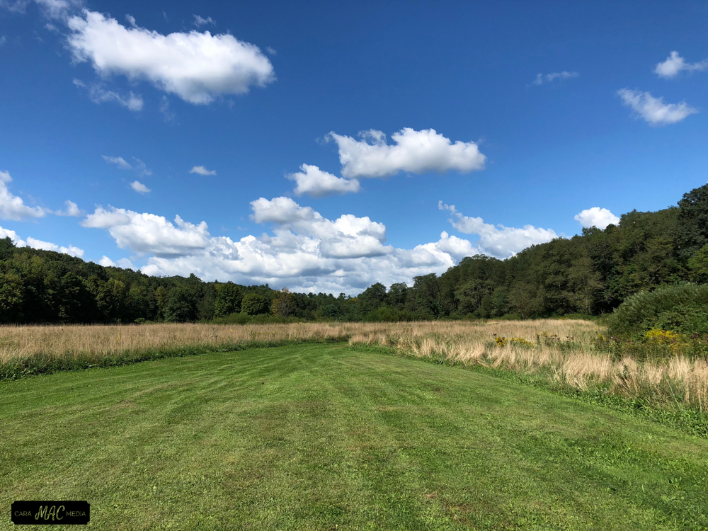
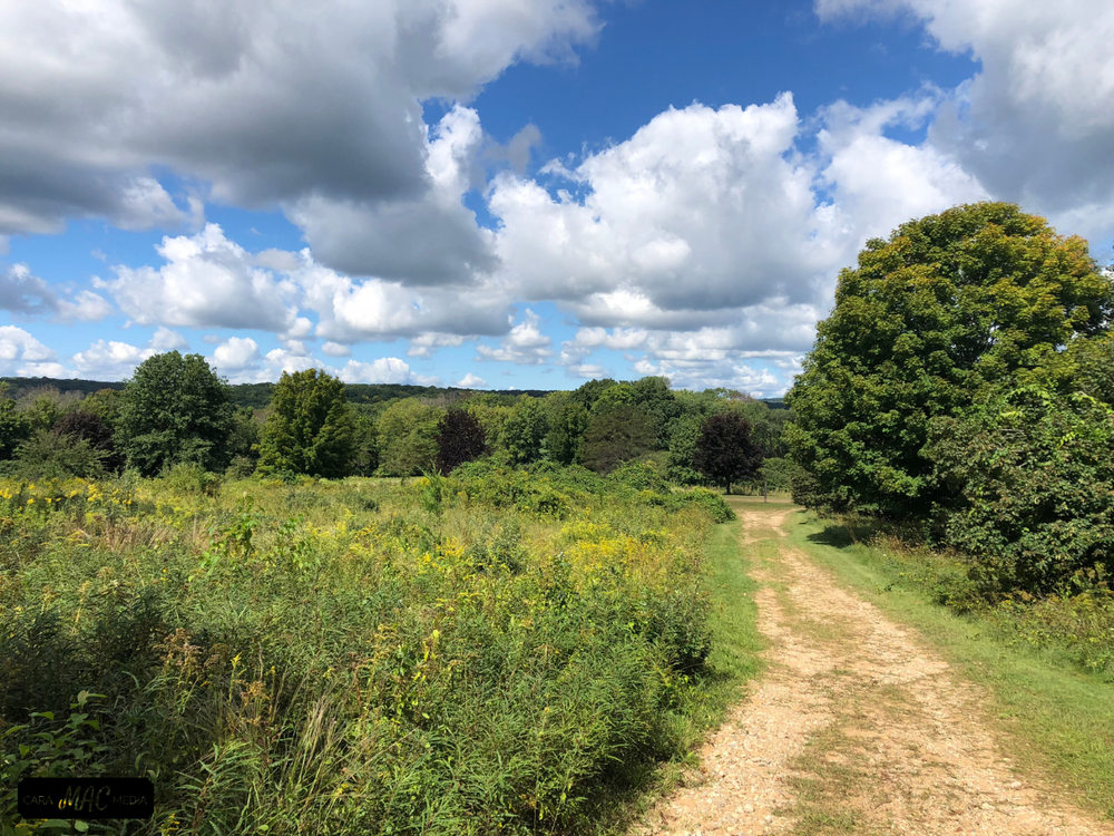
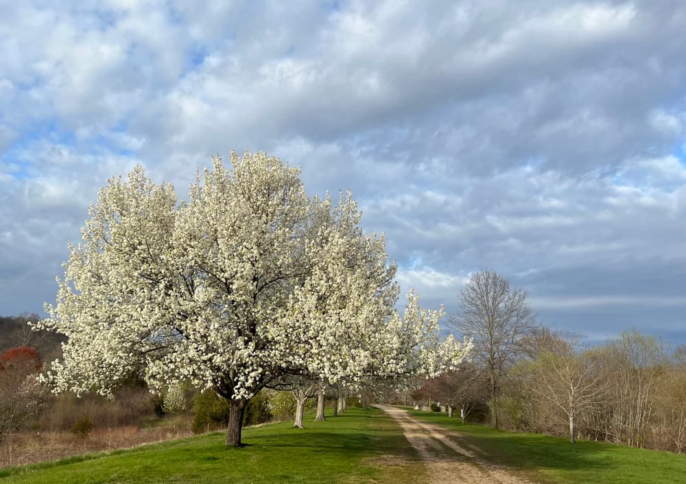
A network of three ponds are nestled near the park entrance abutting fields mowed for the benefit of the summer wildflowers. This landscaped entry area is scenic in appearance having been deforested many years prior and maintained as open space today. Picnic tables are sprinkled throughout the area. A little over 10 percent of the parks’ land is maintained in this fashion, generally concentrated near the entry area. The parking area provides two vehicle/trailer spots for horse enthusiasts.
Many birders make use of the park throughout the seasons of the year. The couplet of ponds, in combination with their abutting wildflower meadows in summer and late fall, have consistently been good locations for diverse sparrows and warblers, juncos, bluebirds, phoebes in season and other small birds, many stopping over on their migratory flights. Butterflies favor the area as well.
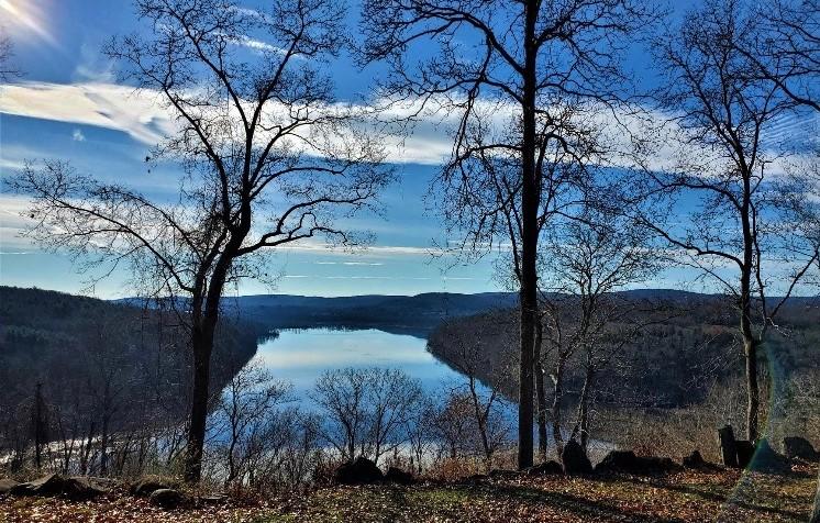
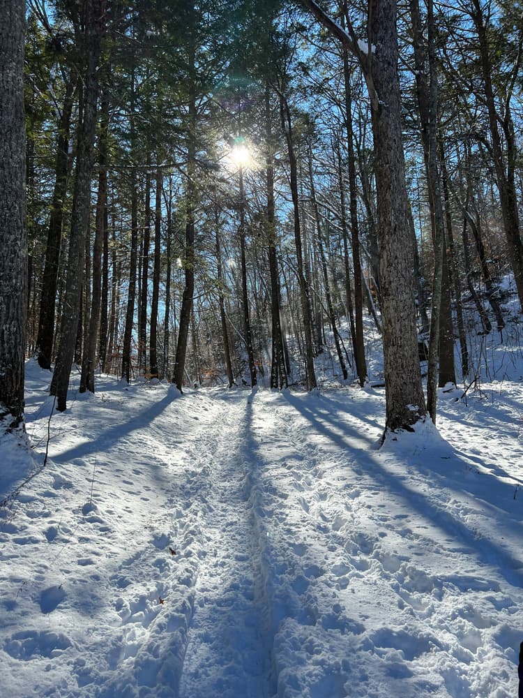
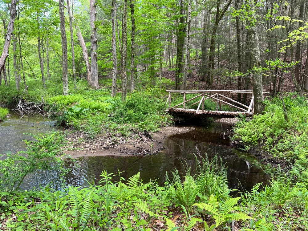
The balance of the park’s woodlands and uplands are home to four and a half miles of old farm roads and trails which provide easy access to the park’s 300 acres. Mount Tom is Machimoodus’s high point at 314 feet above sea level. The old roads and trails that lead to its southern slope feature two lookout points. Both of these provide visitors access to picturesque and scenic vistas of the mouths of the Salmon and Moodus Rivers, along with overviews of the Salmon River Cove and the Connecticut River.
These are also key vistas for the seasonal observation of geese, mute swans, mergansers, bufflehead, black duck and mallard. Bald eagles, both adult and immature, are regularly seen in the winter months.
The park overlooks the Salmon River and Salmon River Cove in East Haddam, Connecticut. It takes its name, Machimoodus, from the earliest visitors to the area. As noisy rumblings and echoes were witnessed in turn by the Pequot, Mohegan and Narragansetts, they referred to this location as "the place of bad noises" or Machimoodus. That name carried through colonial times, continued through the two following centuries, and persists right into today
Various legends and folk tales have passed through the generations about the noises that occur here, but in 1981 geologists with seismic gear in tow declared that "micro earthquakes" were the cause of the rumblings. A local cave echoed the tremors loudly, especially loudly in the relative silence of pre-motorized societies.
This park is managed by the following CT DEEP Park Headquarters:

Park Location: 128 Leesville Road, Moodus, CT 06469
From the intersection of Routes 82 and 149 in East Haddam follow Route 149 north 3.8 miles to its intersection with Route 151. Turn left (west) on Route 151 and follow for 1.2 miles to the park entrance on the left.
Success! A new password has been emailed to you.