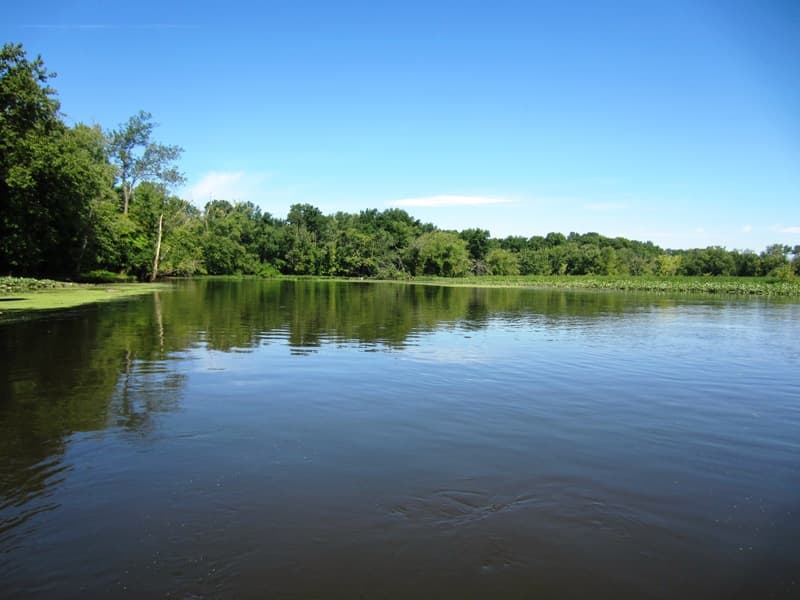
From its headwaters in the Hanging Hills of Meriden, the Mattabesset River flows approximately 18 miles as it makes its way to the Connecticut River just north of the Arrigoni Bridge at the Middletown/Cromwell line. The Mattabesset’s largest tributary, the Coginchaug River, meets the Mattabesset about one mile before it enters the Connecticut River.
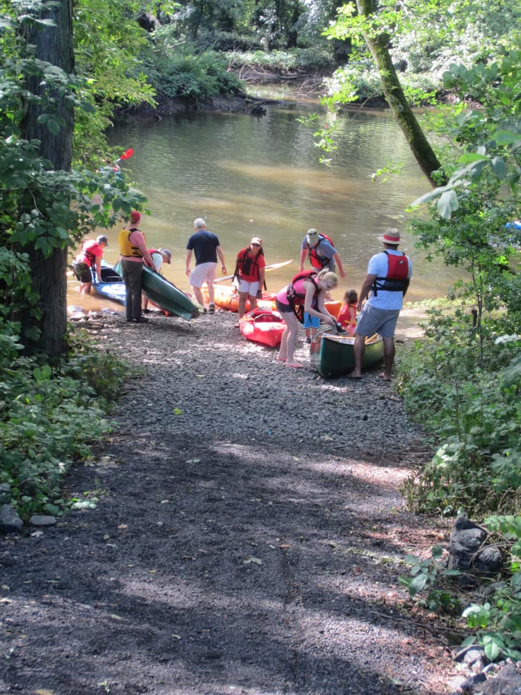
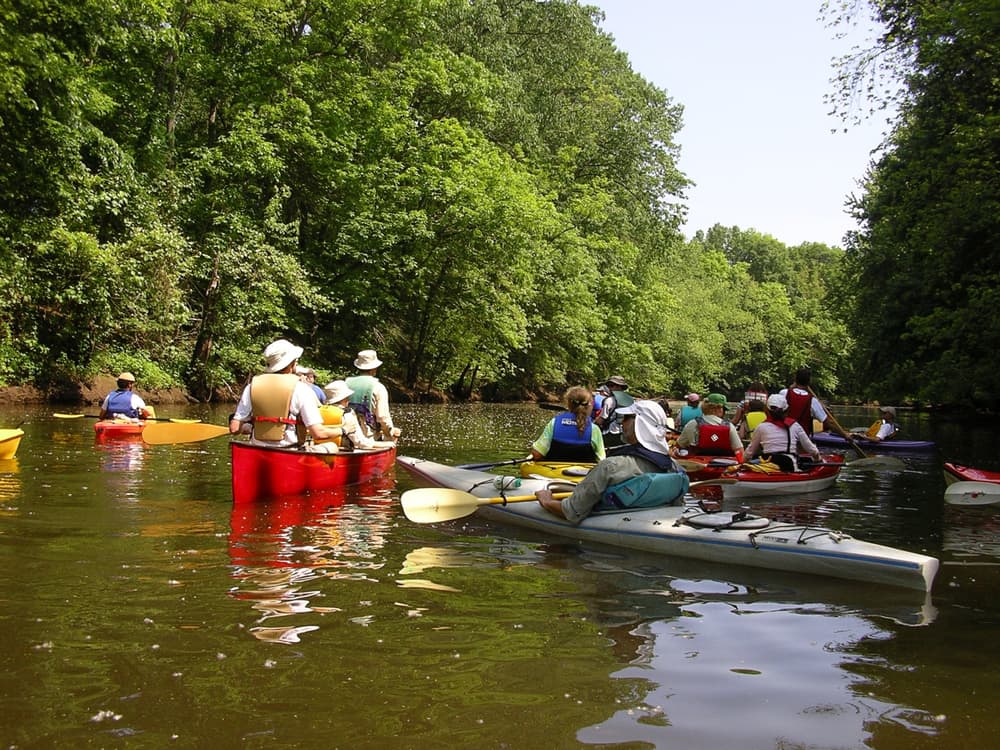
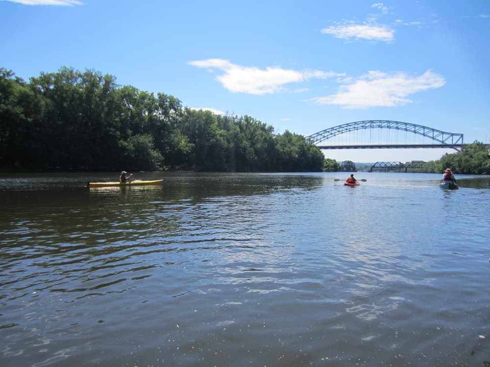
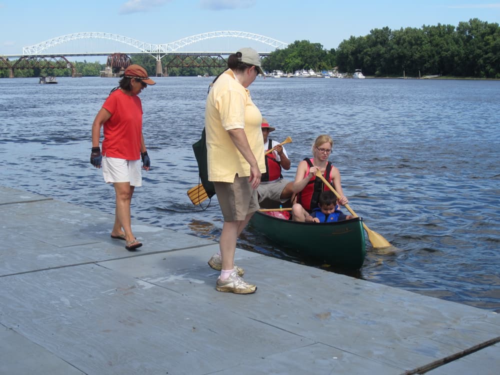
The Cromwell launch is located at the site of the former “Sawmill Pub,” named for an old sawmill that used water from the Mattabesset River to run its mill. From there on downstream, the river meanders leisurely through tidal freshwater marshes, until its confluence with the Connecticut River across from Wilcox Island. Continue on the Connecticut River to the take-out at Harbor Park in Middletown. When approaching the public dock at Harbor Park, please yield to the crew teams departing and arriving at the dock. For a detailed description of the Mattabesset River Canoe and Kayak Trail see the Connecticut River Coastal Conservation District's brochure. Laminated trail guides are available from their office in Middletown.
Please be aware of the stronger current in the Connecticut River as well as the tides that affect both the Connecticut and the Mattabesset Rivers. Consult NOAA's Tides and Currents forecast before you head out. An alternative take-out that avoids the Connecticut River is a short way up the Coginchaug River, to the Philip Salafia, Sr. canoe and kayak launch at the north end of Middletown.
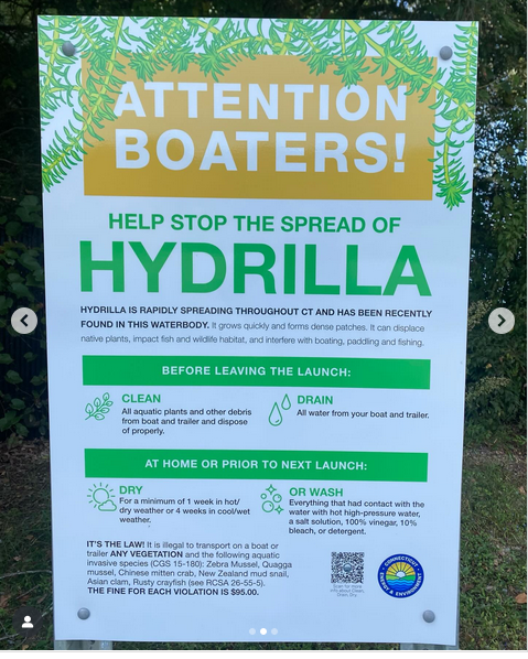
Please don't forget to clean your boat after each use to help stop the spread of invasive plants! See more info below.
Due to its rare species, fisheries, wetlands, water birds and unusual habitat, Cromwell Meadows is designated a high priority Special Focus Area within the Silvio O. Conte National Fish and Wildlife Refuge. The large wetland area provides habitat for migrating wood ducks, black ducks, teal, and nesting wood ducks. It hosts several species of fish-eating birds including great blue heron, green-backed heron, osprey, belted kingfisher, ring-billed gull and the double crested cormorant. Many species of wetland and marsh birds can be seen in the Mattabesset, including marsh wren, common yellow-throat, red-winged blackbird, and swamp sparrow. Cromwell Meadows is also an important nursery for anadromous fish species (fish that migrate from the ocean to freshwater or tidal streams to spawn), including alewife, blueback herring, American shad, and sea lamprey. These fish species depend on the Mattabesset for reproduction, and travel upstream from the Connecticut River to spawn. While StanChem Pond in East Berlin used to be an obstacle to fish migration, a fishway was built there in 2013, opening up 50 miles of habitat to migratory fish.
Due to the erosive characteristics of soils in the watershed, the Mattabesset River often becomes a “muddy” river. Especially after rainstorms, the Mattabesset often becomes turbid, or clouded with suspended sediment, which can affect fish and other wildlife.
Invasive plants mentioned in the Mattabesset River Canoe/Kayak brochure are still a concern, and unfortunately, new invasive plants have made their way into the Mattabesset River since it was published.
Please don't forget to clean your boat after each use to help stop the spread of invasive plants!
From Route 9, take Exit 27 for Route 372/West Street. Turn west onto West Street and then left onto Route 3/Shunpike Road at the stoplight right before the Stop & Shop. After about 1 ⁄4 mile, the launch site is on the left side of the road. Access through the driveway past the Dunkin’ Donuts driveway. Please park in the designated parking spaces.
From Route 9, take Exit 23 for Route 66/Washington Street. Take an immediate left onto deKoven Drive which parallels Route 9. Travel about 1 ⁄2 mile, and turn left at the stoplight at Union Street. Go under Route 9, and turn left onto Harbor Drive. Park in the Harbor Park city lot.
From Route 9, take Exit 24 for Route 17N towards Portland/Willimantic. Turn right onto Main Street, and stay in the right lane to continue straight onto North Main Street (avoid going left onto the ramp to Arrigoni Bridge). Continue on North Main Street for 0.6 miles, then turn right onto Johnson Street. After crossing the rail road tracks, the canoe & kayak launch is on the left.
Success! A new password has been emailed to you.