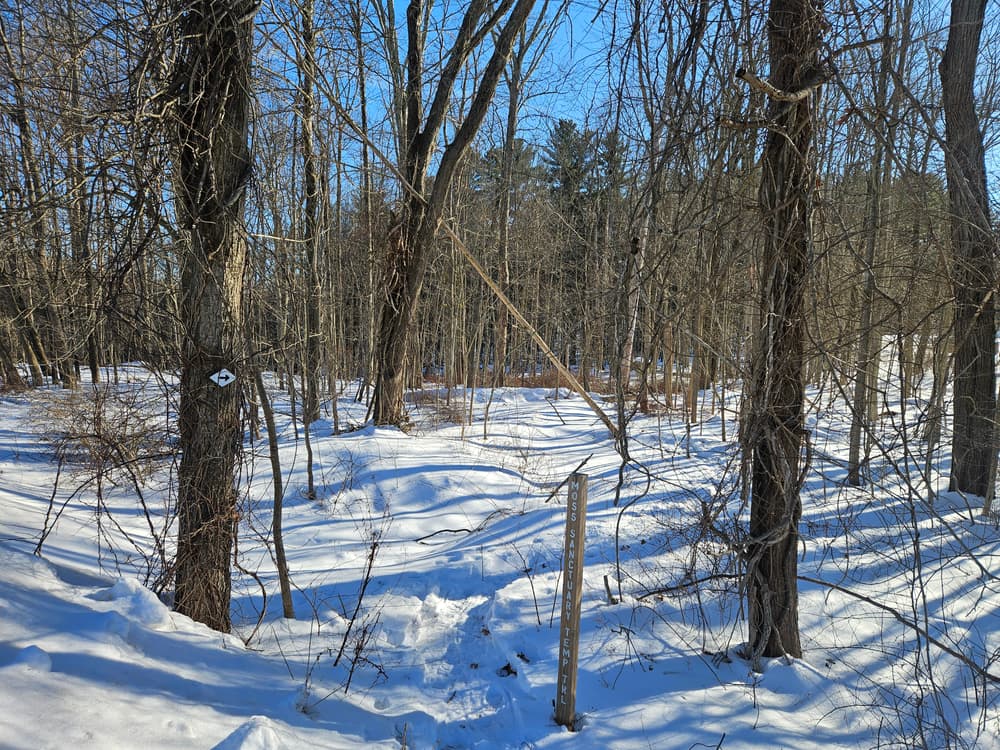
The Moss Sanctuary consists of two white-blazed loops around a series of natural features.
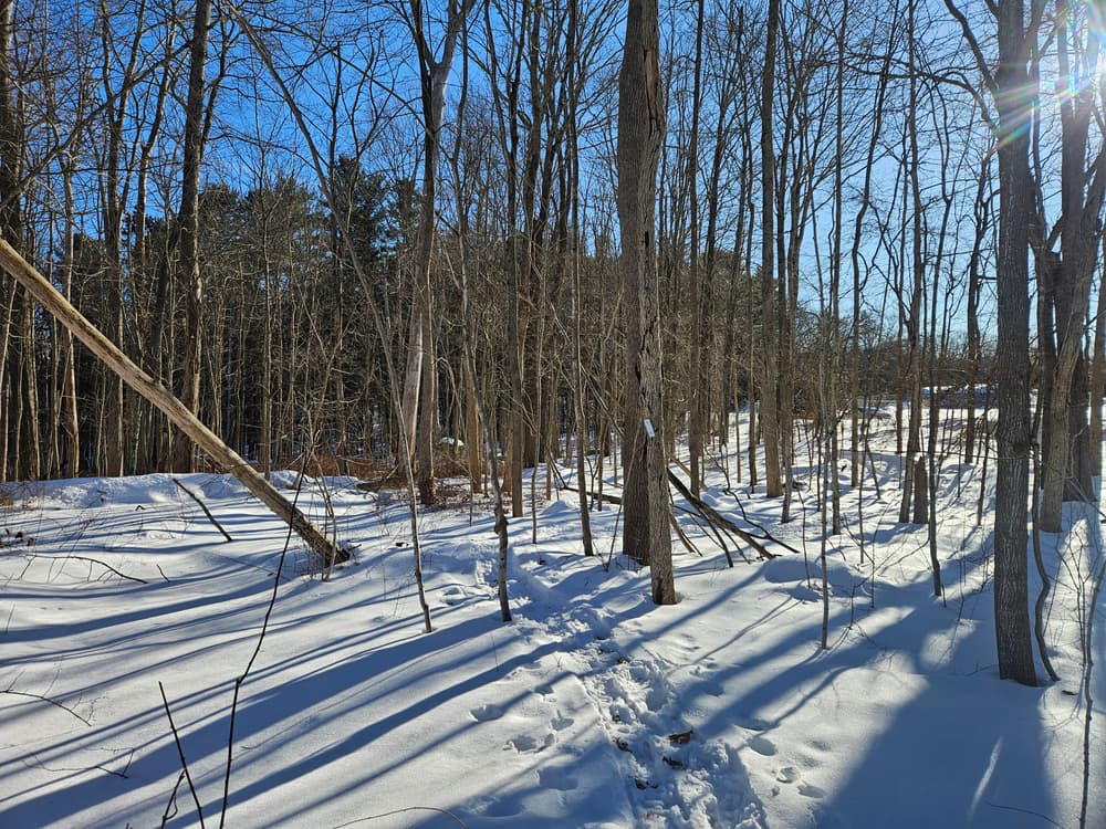
From the parking area on the east side, the trail joins the larger 1.3-mile perimeter loop. Turning left leads uphill to seasonal views over Tift Pond. The trail crests the hill and travels through a former farm field where native and non-native tree and shrub species - habitat for many birds and wildlife - are gradually re-establishing forest. As the trail reenters mature oak-hickory forest, the perimeter loop continues to the right. The property's highest elevation (700 feet) is found at the west side of the loop and features a grove of eastern hemlocks, which favor a cool, humid climate.
The trail then descends the hill; a spur trail to the left leads to Knollwood Apartments. Following the loop to the right takes the travelers across a brook and to a vernal pool where frogs and salamanders lay eggs in spring. The loop continues past Mansfield Apartments and through a former dense grove of red pines which have since died. Young trees are growing in to replace them, along with invasive plants such as barberry and autumn olive.
The loop continues to the right through a shady grove of hemlocks and tall white pines, planted in 1932 by Professor Moss’s students to celebrate George Washington’s 200th birthday. This section leads to the five-acre Tift Pond - here, hikers can enjoy a half-mile loop around the pond as a scenic and restful detour. Bridges and boardwalks around the pond were constructed by Connecticut Forest and Park Association (CFPA) trail crews and the Mansfield Mustangs, a middle-school community service group sponsored by Mansfield Parks and Recreation Department. These trail improvements were funded by The Last Green Valley, Inc.
It is recommended not to cross the top of the stone dam, and instead to follow the trail across the bridge below, providing more secure footing and a better view of the dam. After the loop around Tift Pond returns to the perimeter loop, the trail passes an old root cellar and then forks. Keeping left returns hikers to the east-side trailhead and parking, and keeping right starts the perimeter loop again!
For more detail about trail features, use Town of Mansfield's Moss Sanctuary brochure.
The land that makes up Moss Sanctuary was once a farm (around 1840). A house was located at the corner of Route 195 and Birchwood Heights Road. Both the Tift and Sullivan families were former owners of the farm. Tift Pond (also known as Sullivan Pond) was created sometime between 1846 and 1866 as a supplementary water source for a silk mill downstream. The mill, from 1810, is reported to be the first of its kind in the United States. and is now at the Henry Ford Museum in Deerborn, Michigan.
University of Connecticut purchased the property in the 1950s, and in 1989 designated the land as the Albert E. Moss Forest, Wildflower and Wildlife Sanctuary in honor of Professor Moss. Albert E. Moss developed UConn's first curriculum in forest management in 1924 and in wildlife management 1932.
The Town of Mansfield purchased Moss Sanctuary in 2010 to preserve its habitats and offer walking trails for its residents. The Connecticut Forest and Park Association holds a conservation restriction on the land, ensuring its preservation as forest and wildlife habitat.

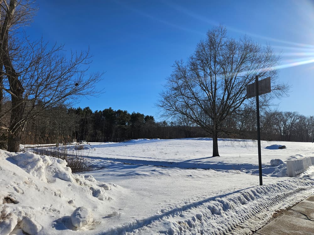
Turn onto CT-195 South/Storrs Road. Follow for 2.8 miles and turn right onto Birchwood Heights Road. Then turn right into parking area.
Take the exit toward CT-195/University of Connecticut Storrs. In 0.2 miles, turn right onto State Highway 632. Then turn left onto CT-195 North/Storrs Road. In 5.3 miles, turn left onto Birchwood Heights Road and then right into the parking area.
Success! A new password has been emailed to you.