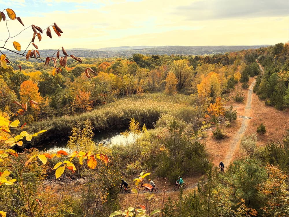
Quarry Park is part of the basalt (traprock) ridge that gave Rocky Hill its name. The park is located in northeast Rocky Hill, bound by Old Main street to the west, an active railroad track to the east, and residential properties to the south and north. The quarry floor is on several levels, and the highest rock face near the north end is about 170 feet high. Ruins of the quarry operations past are being reclaimed by nature. Coniferous and deciduous forests, ponds, and streams support frogs, turtles, rabbits, deer, coyotes, foxes, bobcats, vultures, herons, eagles and humans.
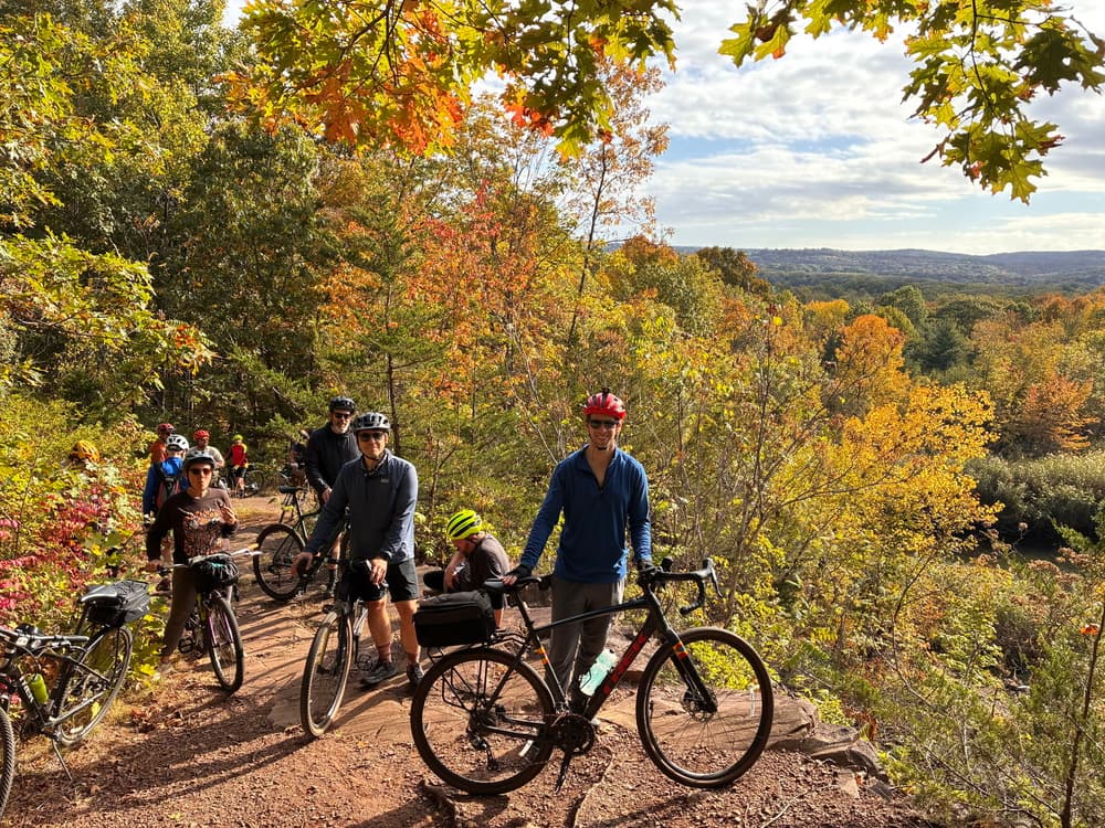
From the parking lot, the Blue Trail heads southeast for the full length of the park and loops back around to the start. It runs past the former Wethersfield Ski Hill, the Lookout Point, a pond, the Bowl, and the Knoll. The Blue Trail offers two pedestrian-only access points to Parsonage Street and Esther Road.
Shortly after the parking lot, the White Trail splits off the Blue Trail and passes the Wildlife Refuge in the northeast. It reconnects to the Blue Trail loop in two locations.
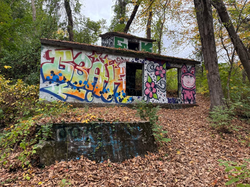
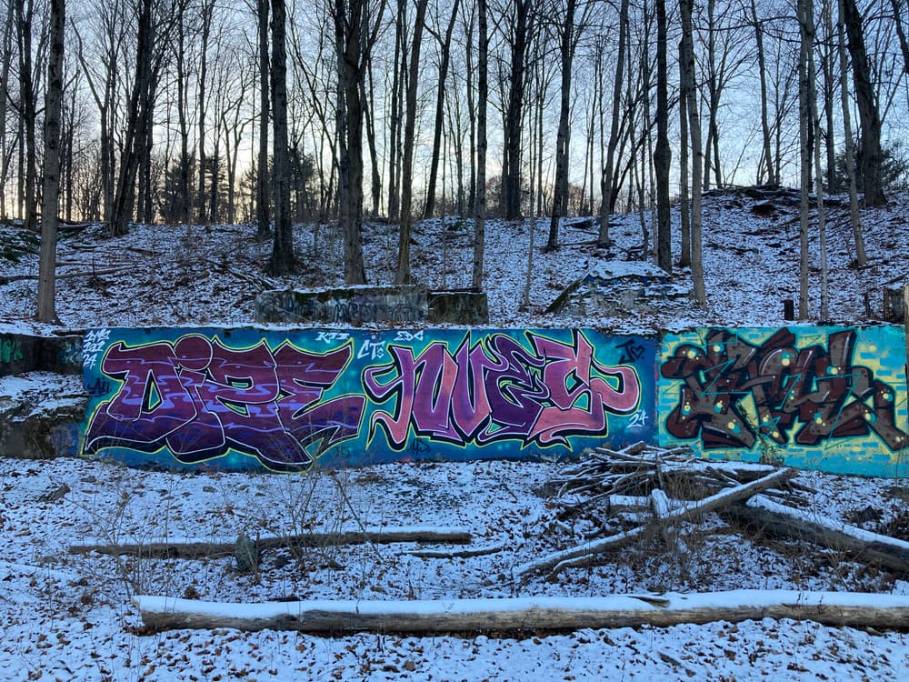
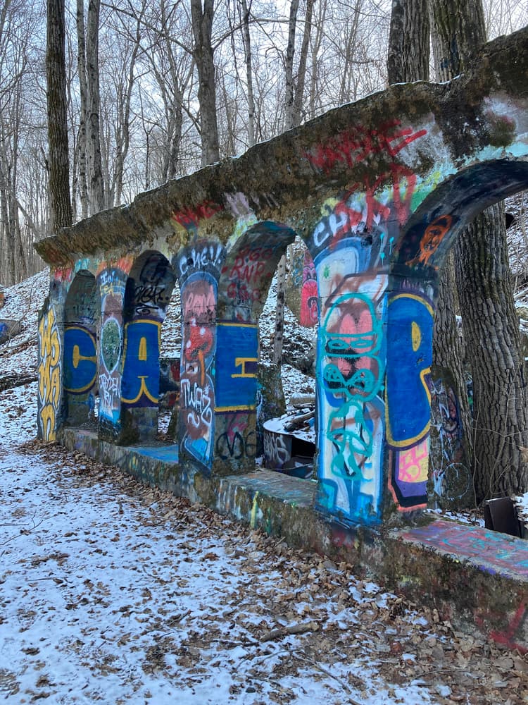
In the southeastern part of the park, the Yellow Trail meets the Blue Trail in three separate locations. It passes the Old Compressor House and the former Rocky Hill Stone Company building, now known as Graffiti Arches.
Pre-historic artifacts uncovered from the Lone Pine Site in the Quarry show that Native Americans lived on this land around 8,000 years ago. During the Colonial era, this rocky hill was a landmark for sailors navigating the Connecticut River. The quarry was active from the late 1800's to the middle of the past century. In 1948 the Wethersfield Ski Club used the northern most hill in the Quarry for skiing. The remains of the 1936 Buick which powered the rope tow rests as a reminder on top of the hill. In 1991, the Rocky Hill Neighborhood Association successfully defeated a proposed development which led to the purchase of 84 acres by the town and state for a State Park under the Recreation and Natural Heritage Act. The property is state-owned and town-managed. More details on the Rocky Hill Historical Society website.
Bikers can traverse Quarry Park via the western leg of the Blue Trail, from the Esther Road trail head to Matteson Avenue. However, there is one section near the Lookout Point that might require some walk & push.
Dogs are permitted on leash. Please bag and remove any dog waste.
Park closes at dusk.
Take Exit 24 and head south on Route 99. Take the first left onto Marshall Road. Continue straight across Old Main Street to the parking lot. The trailhead is across Matteson Avenue.
Success! A new password has been emailed to you.