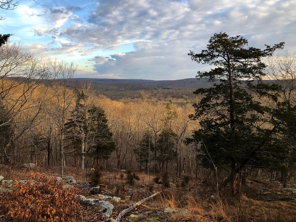
River to Ridgetop Preserves include six connected trail systems both north (Johnson, Jewett, and Pleasant Valley Preserves) and south (Mount Archer Woods, Eno & Pickwick Preserves) of Lyme's Mount Archer Road. These preserves protect the Wild and Scenic Eightmile River Watershed, creating a valuable wildlife corridor and improving water quality within the watershed. From the wetland headwaters on the highest ridgetop in Lyme in Johnston Preserve, water flows down to join the Eightmile River on the east edge of Pleasant Valley Preserve. There are also geologic features visible from the trail, from deep hollows to dramatic outcroppings of rock and ledge, formed thousands of years ago by glaciers.
One popular loop that circles the entire preserve complex is the scenic 9-mile George and Rosemary Moore Trail, made up of other marked trail sections and named in honor of dedicated local land preservationists. Other common trail routes lie within north and south sections of the complex.
White, Yellow, Purple, and Fuchsia trails are suitable for non-motorized multi-use, except within Pleasant Valley Preserve which allows travel on foot only. Equestrian users should be aware that there is no trailer parking.
Pleasant Valley Preserve is bordered by a 105-acre conservation easement donated to The Nature Conservancy (TNC) on private property. A portion of the Pleasant Valley Yellow Trail is on this land.
In Pleasant Valley Preserve, the Red Trail leads to Eightmile River views. Red and Blue Trails travel through fields with red cedar trees, through a white pine tree grove, and along a kettle hole rim. The Yellow Trail rewards travelers with a bench and spectacular view after a moderate incline. Jewett Preserve Red Trail and Johnston Preserve White Trail travel along ridges with gentle climbs to overlooks. The Yellow Trail in Johnston Preserve passes the highest point in Lyme.
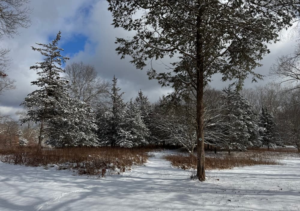
The south section trails are well suited to easy hiking and cross-country skiing. White and Yellow Trails are multi-use for non-motorized bicycle and equestrian access. There is no horse trailer parking.
Both ends of the White Trail connect to trails in the Jewett Preserve north of Mount Archer Road (River to Ridgetop North) and are part of the Moore Trail. The Orange Trail may be used to complete a loop among the trails south of Mt Archer Road.
Hunting is allowed in Johnston, Jewett, Mount Archer Woods, Eno and Pickwick Preserves with a written permit signed by the Open Space Coordinator of the Town of Lyme. During deer firearm season, mid-November through most of December, these preserves are closed Monday through Friday for hunting.
The northern section of the Pleasant Valley Yellow Trail is on a private easement and closed during November and December.
In 1992, the daughters of painter Oscar Fehrer donated 235 acres to The Nature Conservancy (TNC) for the Pleasant Valley Preserve. It was named after the area made famous by Lyme impressionist painters. In 2004, Jewett Preserve was created when the Town of Lyme and TNC acquired 434 acres from the Jewett family with financial assistance provided by private donors and the State of Connecticut Open Space and Watershed Protection Program. The 250-acre Johnston Preserve was bought in 2018 from the Johnston family by the Town of Lyme with funding from the Town’s open space fund, the CT DEEP Open Space and Watershed Land Acquisition Grant Program, and TNC.
Take Exit 10 for CT-82 toward East Haddam/Moodus. Continue onto CT-82 and follow for 2.1 miles. At the traffic circle, take the second exit onto CT-154 North/CT-82 East/Saybrook Road. Follow for 0.4 miles and then turn right onto CT-82 East/Bridge Road.
Follow CT-82 East for 7.5 miles. Parking lot is on the right.
Follow CT-82 East for 9.4 miles. Then turn right onto CT-156 East. In 1.7 miles, turn right onto McIntosh Road. Follow for 0.2 miles to the parking area on the right.
Follow CT-82 East for 6.1 miles. Then continue straight onto Brush Hill Road and follow for 1.9 miles. Finally, continue straight onto Mount Archer Road and follow for 0.6 miles to the Jewett Preserve cemetery parking lot on the left, or continue an additional 0.3 miles to the Mount Archer Woods parking area on the right.
Follow CT-82 East for 6.1 miles. Then continue straight onto Brush Hill Road and follow for 0.7 miles. Turn right onto Mitchell Hill Road. Follow for 1.6 miles. Turn left onto Joshuatown Road. Follow for about half a mile and look for a gravel road to the left at 183 Joshuatown Road. Drive up the gravel road to the parking area at the gate.
Take Exit 11. Turn onto CT-82 West/Salem Turnpike. Continue on CT-82 West for 8.6 miles. At the traffic circle, continue straight onto CT-82 West.
Follow CT-82 West for 6.8 miles to the parking lot on the left.
Follow CT-82 West for 5 miles and then turn left onto CT-156 East. Continue for 1.7 miles and turn right onto McIntosh Road. Follow for 0.2 miles to the parking area on the right.
Follow CT-82 West for 5 miles and then turn left onto CT-156 East. Continue for 1.7 miles and turn right onto McIntosh Road. In half a mile, turn right onto Mount Archer Road. Follow for 0.6 miles to the Mount Archer Woods parking area on the left, or continue an additional 0.3 miles to the Jewett Preserve cemetery parking lot on the right.
Follow CT-82 West for 5 miles and then turn left onto CT-156 East. In 3.1 miles, turn right onto Joshuatown Road. Follow for about 1.7 miles and look for a gravel road to the right at 183 Joshuatown Road. Drive up the gravel road to the parking area at the gate.
Success! A new password has been emailed to you.