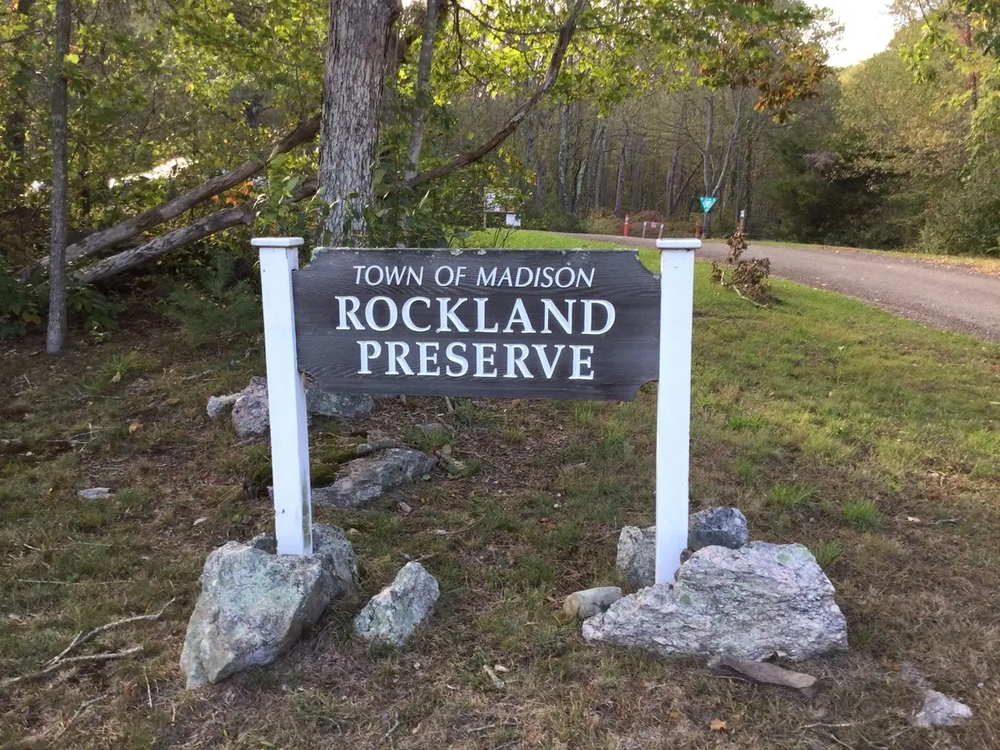
Rockland preserve is a mix of hiking trails and singletrack bike trails.
The Singletracks of Rockland (SOR) are a flowing, feature packed tour of the 650 acre property. The trails were built for mountain biking, trail running, and other non-motorized use by a completely volunteer workforce. The Rockland Challenge XC loop is approximately 15 miles long and visits location markers M-M12 in order.
Bike trails thread through the preserve in a stacked loop system with various access points. Parking lot locations are aligned with challenge level of the trails. Beginner level users should access the trails at the 99 Renee's Way entrance and tour the Erratica Loop from the Bee Line access. Intermediate users should access the trails at the Route 79 (Durham Road) lot across from Samantha Lane and climb first on the East Loop. Advanced trail users looking for the most difficult trails should access either at the Route 79 lot or at the Dead Hill Road entrance in Durham to enter the Mag-5 or the Pisgah Trail in Durham. For a more detailed description of the different loops, trail maps, and trail condition report forms, see the Singletracks of Rockland website.
Among other hiking trails, the blue blazed Mattabesset Trail, part of the New England Trail, runs through Rockland Preserve and the neighboring Mica Ledges.
The Coan Pond Trail, marked with white blazes, starts downhill and to the right from the 99 Renee's Way parking lot. Partially on Regional Water Authority Land, the trail passes between two large lichen-covered boulders then climbs a steep rise that offers a panoramic view of the pond. The trail continues climbing and then drops down a steep slope to meander along the shore. Just before the dam, a characteristic flat area marks the location of a historic charcoal pit. The trail then crosses a stone dam offering views of the pond from the east and then rises to enter a wooded area. Near the intersection with the Yellow Trail, the Coan Pond Trail passes through a grove of Beech trees then winds down to a disturbed area beside the pond, evidence of a failed attempt to build a golf course and nature’s ability to heal. At this point, the Coan Pond Trail intersects with the Houston Trail (red). To the left, the White Trail crosses over the outlet stream for Coan Pond on the footbridge with a beaver dam next to the bridge. Up the hill and to the left is the Outdoor Education Center. An unmarked but well-worn trail leads to the pond, while the white blazes lead back to the parking lot.
The Houston Trail is named to honor Dave Houston, friend, teacher, and naturalist. It is marked with red blazes and begins at the Renee’s Way parking lot and makes a large loop. The trail includes ten interpretive signs and a restoration site of a Charcoal Pit Bottom, complete with the fireplace used by the collier (charcoal maker) and his helpers as they tended the huge mound of smoldering wood.
The Boundary Trail starts off Crooked Hill Road and is identified by orange blazes. At the foot of the hill where the trail turns to the right is an enormous glacial erratic (boulder). Crossing the stream and continuing west, the trail meets another old woods road. To the right the land rises to rocky hills and cliffs, and to the left it slopes toward streams, swampy areas and vernal pools. The trail slopes gently down toward the boundary line between Madison and Guilford. Following the orange trail markers, the trail turns right, leaving the road for a short distance before returning again. After passing a charcoal bottom, the trail turns right sharply and climbs upward and skirts the edge of the hill with views to the south. Follow the orange blazes to stay on the Boundary Trail, through a cedar patch until the trail turns right again and begins down the side of the hill.
The Accessible Natural Playground, situated near the Route 79 parking lot, opened in 2020. The design blends into the woods with slides coming off various layers of the treehouse structure climbing features leading to the peak. Accessible paths invite all children to enjoy the main structure and the creative play zone. Trails beyond the play area run into the wooded and historic Rockland Preserve.
The Pollinator Garden just north of Coan Pond was established in 2022 and is maintained by the Rockland Preserve Committee, Master Gardeners, and Volunteers. Plants are arranged in groupings with identifying tags. Visitors can follow the self-guided walking tour.
The property, west of Route 79 and just south of the Madison/Durham border, lies within the watershed of the Hammonasset River that is the source of public drinking water supplies stored in the Hammonasset Reservoir of the South Central Connecticut Regional Water Authority. The centerpiece of the property is an area known as Coan Pond. Until 2002 it was a fen, much like a bog with black, damp soil, thick grasses and shrubs. Then a beaver arrived, built a dam and a lodge, and once more Coan Pond became a pond. Its sole source of water is precipitation - snow and rain.
The forest in Rockland Preserve is open with little understory. Young trees suggest that tree cutting was recently an important industry. The ground is covered with huckleberry bushes, a smaller version of blueberries that were harvested and sold to New Haven for pie making in earlier times.
Madison is located in a part of Connecticut geologists call “The Eastern Upland.” The rocks of the Eastern Upland have been subjected to intense heat and pressure that have left them layered and twisted looking. Gneiss (pronounced nice), a hard, fine-grained rock with a banded appearance, is present throughout Rockland.
Summit Belt Trail (green blaze), Rockland Loop (orange blaze) and Old Crooked Hill Road loop (yellow blaze) are used by hikers and bikers - please share the trails responsibly.
Beach and Recreation Department office hours are M-Th 8:30am-4:30pm and Fri 8:30am-12noon, emails will be returned by the next business day. There is no staff on site at Rockland, in case of emergency please call 911.
Directions are to the main parking lot at 99 Renee's Way in Madison, CT which is the recommended parking lot for the hiking trails, the beginner mountain biking trails and the Pollinator Garden. For the Accessible Natural Playground and access to intermediate and advanced bike trails, use the parking lot off Route 79, across from Samantha Lane.
Take Exit 15 for CT-68 toward Yalesville/Durham. Head east toward Durham on Route 68 for 5.5 miles, then turn right onto Main Street and stay left onto Route 79/Madison Road. Continue for 4.4 miles, then turn right onto Dorset Lane. After 0,7 miles, turn right onto Devonshire Road, and after 0.6 miles right again onto Renee's Way. Continue to the end of the cul-de-sac.
Take Exit 61 and head north on Route 79 for 5.5 miles. At the traffic circle, take the 2nd exit to continue on Route 79 for another 3.9 miles, then turn left onto Dorset Lane. After 0.7 miles, turn right onto Devonshire Road, and after 0.6 miles right again onto Renee's Way. Continue to the end of the cul-de-sac.
Take Exit 8 and head west on Route 148. Continue for 9.6 miles. Turn left onto County Road and continue for 2.5 miles. Turn right onto Route 79 and immediately take the first left onto Dorset Lane. After 0.7 miles, turn right onto Devonshire Road, and after 0.6 miles, right again onto Renee's Way. Continue to the end of the cul-de-sac.
Success! A new password has been emailed to you.