Ready, Set, Go Outdoors! Connecticut Trails Day is June 6 & 7. Explore 200+ FREE outdoor adventures!
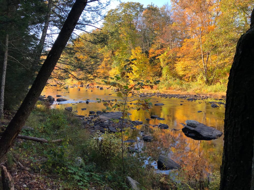
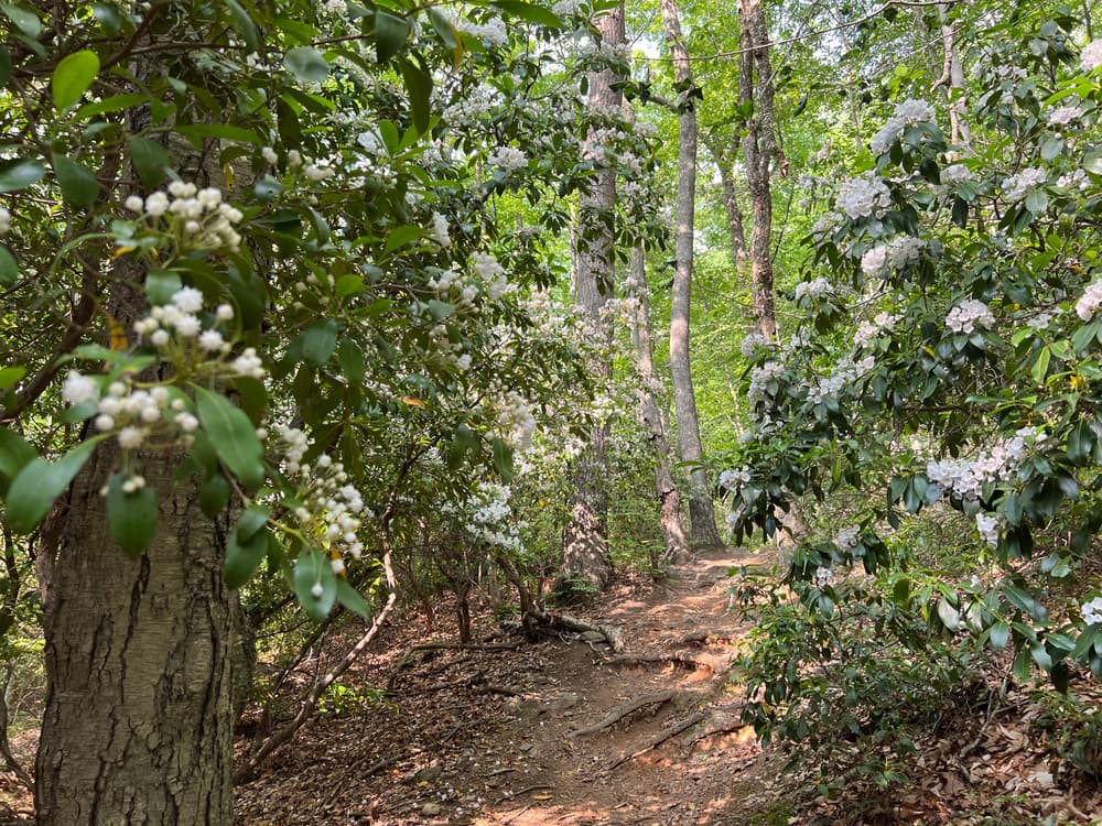
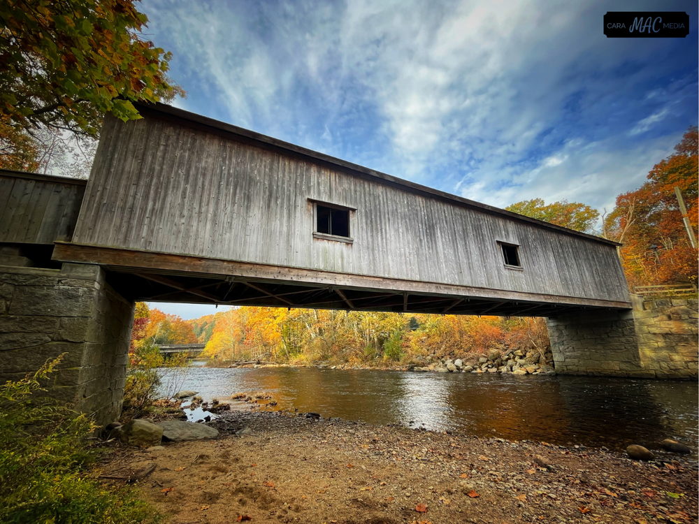
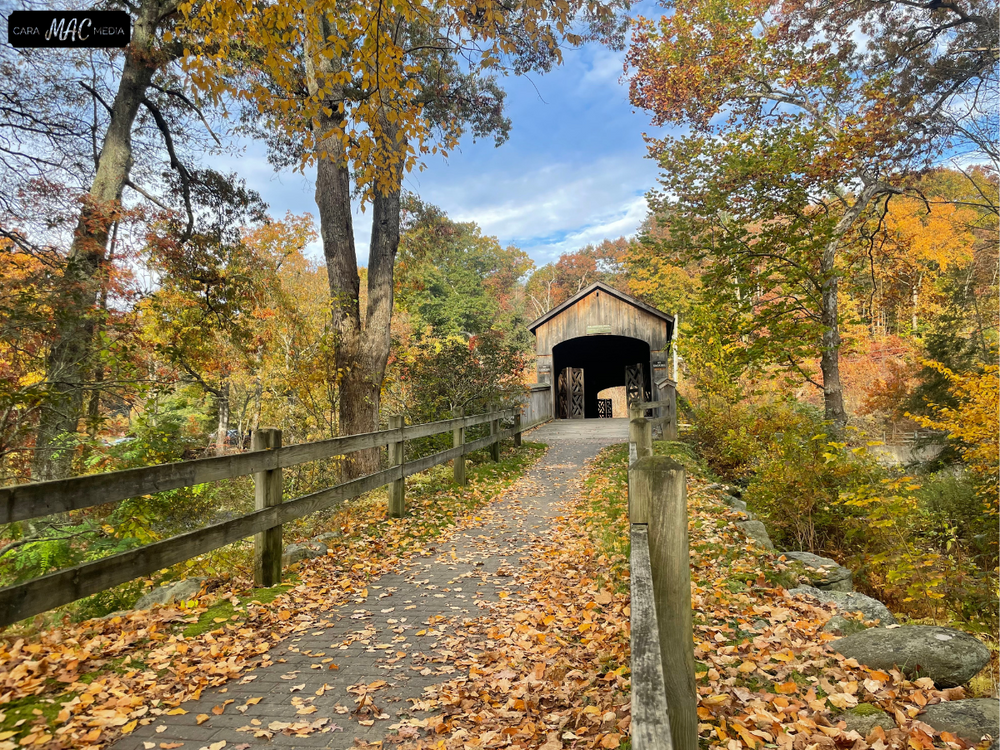
Salmon River State Forest features a covered bridge and waterfalls as well as multiple scenic vistas through forested trails. Its trail system contains Day Pond State Park's small trail network and pond where fishing, swimming, and picnicking are permitted.
Day Pond State Park also contains notable geologic features, such as till, indicated by abundant boulders visible from the Salmon River Trail (North Loop) near the dam. Brimfield Schist, pegmatite, and Hebron Gneiss can also be observed in this area. Find out more about Day Pond State Park's geologic features on its CT State Parks web page.
The Blue Blazed Salmon River Trail and the Blue/Red Blazed Day Pond Brook Spur Trail are foot traffic only, other than the sections that overlap the CT Horse Council Recommended Trail. All other trails non-motorized multi-use.
A CT Horse Council Recommended Trail which prioritizes equestrian trail use, runs along the southern portion of the Salmon River Trail, and connects with the gravel Day Pond Road.
The first purchase of lands which comprise the Salmon River Forest was made by the State Board of Fisheries and Game in 1934. The Forest now contains nearly 6,000 acres located in the towns of Hebron, Marlborough Colchester, East Haddam, and East Hampton. Included in the forest area are 1,300 acres that are leased from the United States Government.
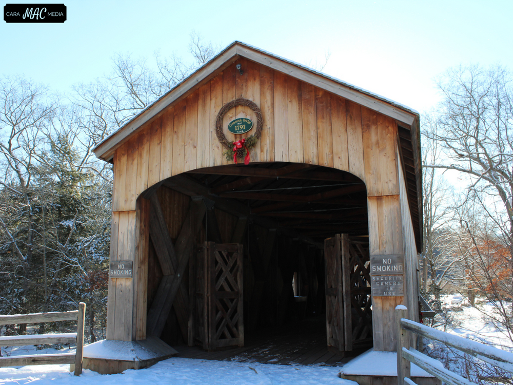
The important tributaries of the Salmon River are the Dickenson Stream, Blackledge River, Jeremy River, and Fawn Brook, all of which enter the main river above Comstock Bridge. The Salmon River joins the Connecticut River a short distance from East Haddam. It is probably the largest stream and watershed whose sources and mouth are entirely within the limits of the State.
One of the early and notable settlers in this area was John Carrier who was reputed to be the executioner of Charles the First and who fled England when the monarchy was restored. His family name still exists on the land records of the area.
The towns in this area were settled during the early part of 1700 and were typical of the early New England settlements. Streams and ponds were dammed to furnish waterpower for grist mills, tanneries, and later paper mills.
The Salmon River and its tributaries each had more mills trying to operate by the middle of the nineteenth century than the water supply could support during periods of minimal precipitation. At North Westchester, for example, during low periods the grist mills had to operate at night and the paper mill by the day.
Day Pond was constructed by the Day family, who then used water from the pond to power their sawmill. Stone foundations can be found within the park from this colonial time period.
The easy accessibility of the Salmon River and its tributaries has made the forest a very popular fishing area.
This park is managed by the following CT DEEP Park Headquarters:

From CT-2 East, take Exit 20 for CT-149 towards Westchester/Moodus. Turn right onto CT-149 South/Westchester Road. Follow for 2.9 miles and then turn right onto Peck Lane. Follow for 0.2 miles and turn left onto Day Pond Road. Continue for 0.4 miles and then turn right onto the Day Pond Gravel Road.
From CT-2 West, take Exit 23 for CT-16 toward Colchester/Middletown. Then turn left onto CT-16 West/Middletown Road. Follow for 3.6 miles and turn right onto Cemetery Road. Follow for 0.7 miles and turn right onto CT-149 North, and then left onto Peck Lane. Continue for 0.2 miles and turn left onto Day Pond Road. Continue for 0.4 miles and then turn right onto the Day Pond Gravel Road.
Parking is available in the main gravel parking area and in 3 other designated parking lots along Day Pond Gravel Road.
From CT-2 East, take Exit 20 for CT-149 towards Westchester/Moodus. Turn right onto CT-149 South/Westchester Road. Follow for 3.3 miles and turn right onto CT-16 West. Continue for 2.1 miles and then turn right onto Comstock Bridge Road. The parking area is on the right.
From CT-2 West, take Exit 23 for CT-16 toward Colchester/Middletown. Then turn left onto CT-16 West/Middletown Road. Follow CT-16 W for 6.4 miles. Then turn right onto Comstock Bridge Road. The parking area is on the right.
Success! A new password has been emailed to you.