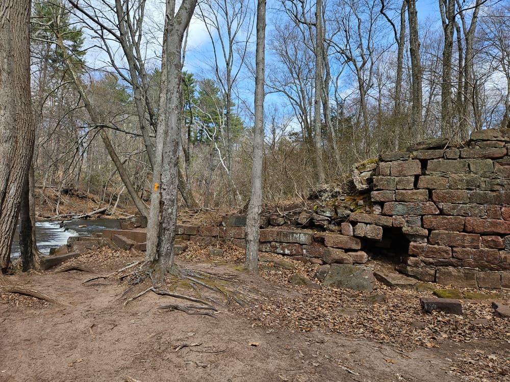
The Hazardville section of Scantic River State Park has a four-mile trail system split between two areas north and south of the river. North of the river, one can find a yellow-blazed trail network from the ridge down to the river's edge and back. Near the river on the east side, there is also a small open field with a Hazard Power Company warehouse ruins, which connects to an additional parking area off Water Street. Some unmarked trails can be utilized to explore the forested ridge and may be suitable for mountain biking.
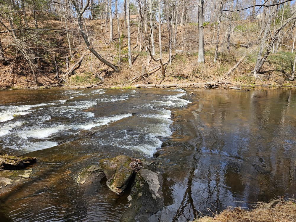
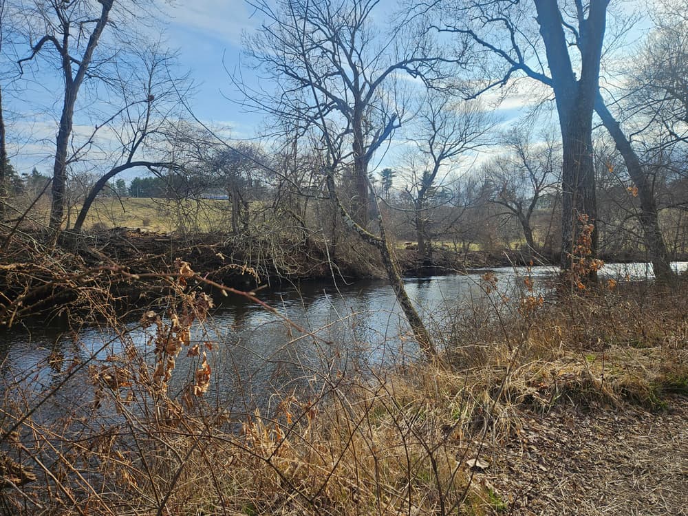
South of the river, the Orange Trail winds from the South Dust House Road parking lot along the Scantic River, the Purple Trail travels through several more gunpowder mill ruins, and the White Trail goes over the ridge, containing some steep, advanced sections. These linear trails can be combined to make a loop of the trail user's choice.
Scantic River State Park's trails are non-motorized multi-use, and provide opportunity for viewing the flora and fauna, such as ducks and other waterfowl, wood frogs and other amphibians, and deer and other mammals. Most trails are marked, but some are un-marked. Use of a trail map is encouraged.
There are two other sections of the Scantic River State Park, Scitico & Somersville and Broad Brook, and together the three parcels cover 600 acres across three separate towns in the Scantic River Watershed. Additional trails, river access, a few more historic remnants, and more can be found in these additional sections.
Beginning in 1835, water from the Scantic River was used as an energy source for Colonel Augustus Hazard's gunpowder mills - the Hazard Powder Company. In 1913, an explosion caused death and damage in the village, bringing the end of business operations. Over 60 years later, in 1979, the state of Connecticut acquired this and other sections along the river to create the state park. In this Scantic River State Park block today, one can find a trail of mill remnants, from stonework and foundations to broken cast iron fittings, water canals, and more.
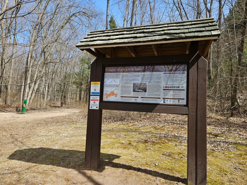
For a self-guided tour of the cultural artifacts, visit the Scantic River State Park CTDEEP web page and explore the Activities section for the brochure and map.
This park is managed by the following CT DEEP Park Headquarters:

Take Exit 47E for CT-190 East toward Hazardville/Somers. Turn right onto CT-190 East/Hazard Avenue. Follow for 7 miles. The parking lot will be on the right.
Take Exit 47E for CT-190 East toward Hazardville/Somers. Turn right onto CT-190 East/Hazard Avenue. Follow for 2.4 miles and then turn right onto Suuth Maple Street. After about half a mile, continue straight onto South Dust House Road. The parking lot will be on the left after the bridge.
Success! A new password has been emailed to you.