Ready, Set, Go Outdoors! Connecticut Trails Day is June 6 & 7. Explore 200+ FREE outdoor adventures!
The stem trail proceeds upslope through oak-birch-hemlock forest, occasionally crossing small seasonal streams and boulder-strewn areas. It then descends between ancient "borrow pits" where stone was extracted, and finally meets the laneway of the old turnpike and bears right.
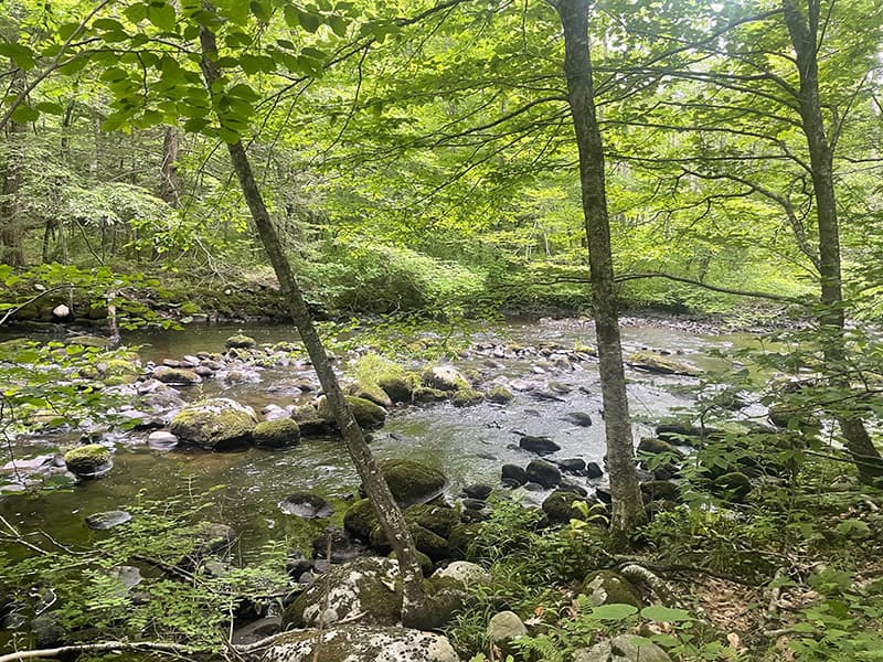
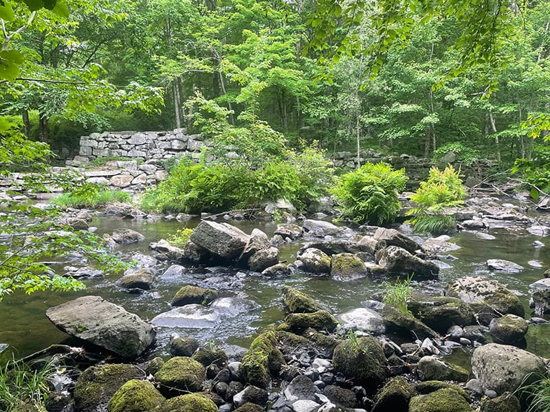
The loop portion of the trail begins about 50 feet further along where one leg continues on the old road and the other turns left towards the river. Taking the latter option, one shortly reaches the river's edge. The trail heads upstream, occasionally passing old stone walls, sometimes on the level floodplain and sometimes on the rocky riverbank. Ahead lay the ruins of a large dam, and directly across the river the remains of stone foundations and spillways. This is the site of the Hitchcock-Pratt iron forge (west side, 1782) and the Peters Forge (eastside, 1799); these forges converted pig iron into iron bars and sheets.
The trail ascends the dam and continues upstream to Tumbledown Brook. Here the trail turns to the right and follows the brook uphill. At the top, the remains of ancient bridge abutments can be observed. The trail is now moderately level and turns south, eventually meeting up with the old turnpike roadway. The abandoned laneways lying ahead and to the left both lead shortly to private property. Turn right and follow the roadway downhill to complete the loop. From this point, return to the trailhead via the stem trail.
This land was donated to the Litchfield Land Trust by C.A. Litchfield Land, LLC in 2015.
The trailhead is located on the north side of Route 202, 3.2 miles west of the village of Bantam and approximately 300 feet west of the entrance to Garland Road and east of the Shepaug River bridge. Limited roadside parking near the trail kiosk.
Success! A new password has been emailed to you.