TriTown Forest Preserve includes trails crossing between the towns of North Stonington, Griswold, and Preston. It is recommended to utilize the largest parking area which is located to the southwest of the preserve, on the north side of Miller Road in North Stonington. This trail entrance allows for a short 0.2 mile hike to a central intersection of the preserve’s various trails. The outer blue loop is the longest and most challenging of the hikes.
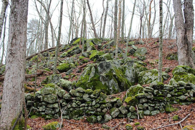
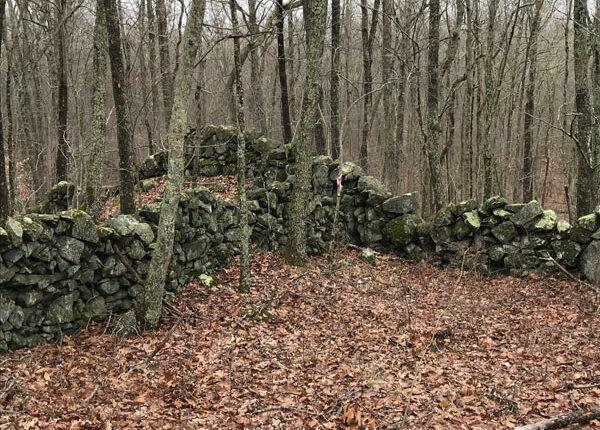
The blue-blazed loop features challenging terrain changes with occasional switchbacks, multiple stream crossings, stonewalls of various ages, glacial erratics, stunning vistas, and various side trails that reconnect to the blue loop. The blue loop trail has a trail width that ranges from as narrow as 2 feet to approximately 12 feet wide, is packed earth and dirt, and has challenging areas of exposed rocks and roots. In total, the blue loop is approximately 5.2 miles with total elevation changes of close to 1,000 feet.
The yellow loop trail overlaps the blue loop. The yellow loop trail is easier in difficulty with only 308 feet of elevation changes, has a shorter distance of approximately 2.4 miles, features wider trails, and has less exposed rocks and roots.
The red blazed trails serve as access trails and as a connector trail to the blue and yellow trails. The longest of the red trails is the red connector trail that divides the preserve, running north to south. This trail allows for connections to various portions of the blue and yellow loop trails, totaling approximately 0.7 miles.
The Linnea Richardson portion of the preserve is the northernmost entry point to the preserve and is one of the red access trails in the town of Griswold. Although parking is limited, entering the preserve through this location allows for a welcomed and immediate uphill challenge. After 0.3 miles, this red trail connects to the northern tip of the blue loop trail.
Slightly southeast of this access trail is an additional red access trail in the town of Griswold, the Aurelie and Stanley Boyd Tract. Featuring its own split in two different directions and a total distance of approximately 0.7 miles, this access trail allows for an uphill challenge that leads to two different points along the blue loop trail. In total, the red-blazed portions of the preserve are approximately 1.8 miles in length, feature elevation changes of over 500 feet, and range from as narrow as 2 feet to wide open.
This gives TriTown Forest Preserve a total trail distance of approximately 9.4 miles. All trails are easily located and well-marked with colored, hard plastic rectangle trail markers or colored, diamond shaped trail markers with arrows. Board and bog walks allow for easy traversing of the various wetland areas of the preserve.
In addition, there are 5 benches that are strategically placed throughout the preserve, offering serene views and tranquil resting areas. This preserve is sure to excite with the various nesting birds, loud frogs, deer, and other small land animals.
The TriTown Forest Preserve borders on 76 acres of Avalonia-owned open space in Griswold and abuts over 800 acres of conservation easements held by The Nature Conservancy. A 213-acre section of the Pachaug Forest owned by the Connecticut Department of Energy and Environmental Protection (CT DEEP) is across the street from TriTown, and the 24,000-acre Pachaug Forest connects into Rhode Island’s Nature Conservancy Borderlands Project. The Forest protects the headwaters of Miller Brook and Broad Brook (the latter stocked regularly by CT DEEP with brook trout and brown trout) which flow into the Quinebaug River, the Shetucket River, and on to the Thames River, forming part of the Thames River Basin of The Last Green Valley, a National Heritage Corridor.
This property is part of Avalonia's Hike and Seek Program scavenger hunt program!

From I-395, take Exit 22. Head south on Route 164. Turn left onto Route 165. Turn right onto Route 201. For northern parking areas, turn right onto Rixtown Road. For southern parking areas, turn right onto Miller Road.
Follow CT-2 West and take a right onto Route 201. Take a left onto Miller Road in North Stonington.
From I-395, take Exit 24 for CT-201 toward Hopeville. Head south on CT-201 South/Hopeville Road. Turn right onto Miller Road.
The main parking lot is located off of Miller Road in North Stonington.
Success! A new password has been emailed to you.