Over 1000 miles of trail available to explore, and more added each day!

Upper Bantam River Preserve

Medicine Rock Trail passes through the shade of a wonderful mature mixed forest and along the banks or the Bantam River. 
Trail Activity
Hiking Cross-country skiing
Length
1.7 miles, Network
Difficulty
Moderate
Town
Litchfield
Surface
Packed Earth/Dirt, Rock/Ledge, Boardwalk
Pets
Permitted on leash
Fees
No

Description

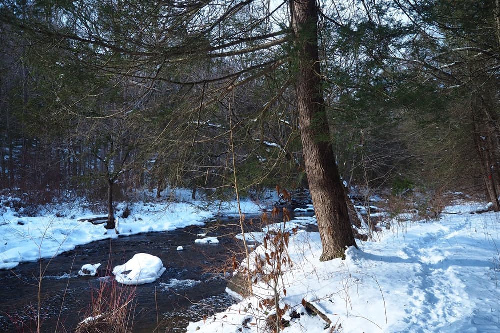
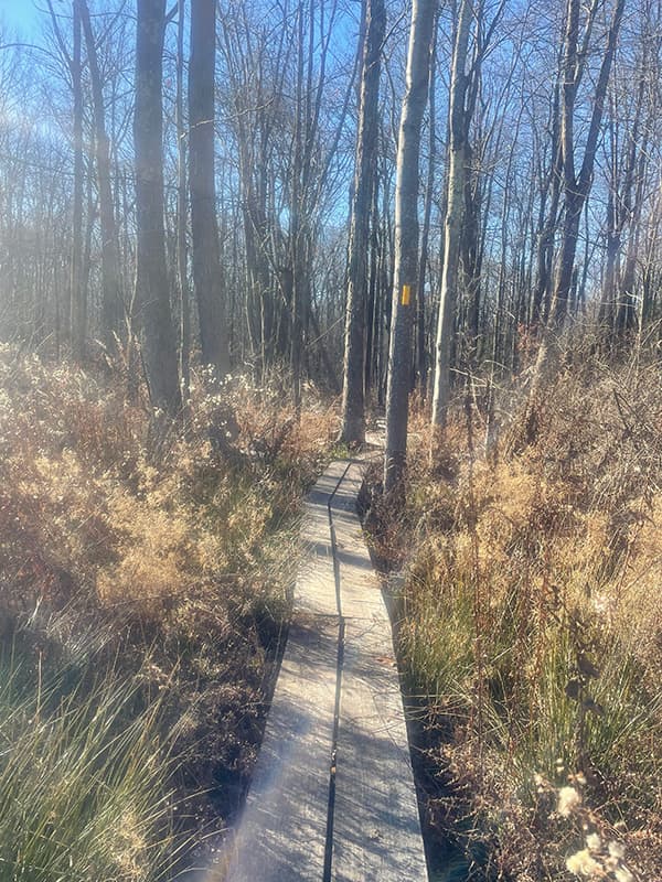
Starting from the kiosk at the back of the route 202 parking lot, a yellow blazed trail follows a 500-foot access path that includes bog bridging. The yellow trail heads west down a gentle slope to the Bantam River.  

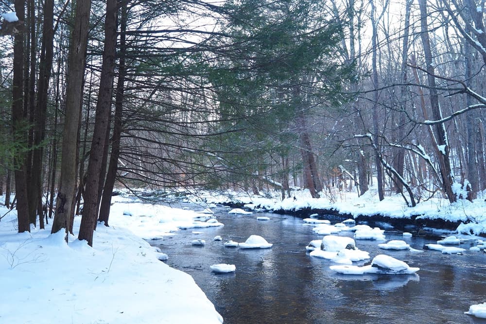
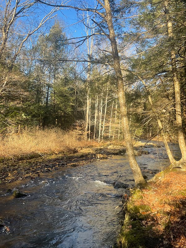
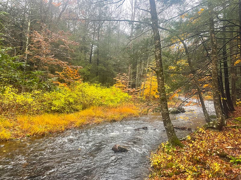
About 800 feet down the yellow trail access to the red blazed, north loop of the Medicine Rock trail is located on the right. This 0.4-mile trail loop heads north and then west as it descends to the river where it passes the terminus of the yellow trail. The 0.8-mile southern loop follows the Bantam River south for less than a half mile and then ascends the hill and reconnects with the yellow trail.
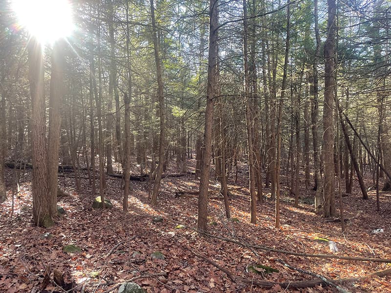
The Upper Bantam River Preserve is an excellent example of a diverse mixed New England Forest. The mature forest contains a wide variety of tree species including oak, birch, hickory, hemlock, beech, and maple. The trail along the river passes through an enchanting mature hemlock grove. 

Look for scattered outcroppings of white quartzite which inspired the trail name. White quartzite was considered a special gift to native Americans who believed that it held healing powers. White quartzite was also used extensively in forming arrow heads and tools. 

Other Information

Preserve Policies:
  • Stay on designated trails
  • No motorized vehicles
  • No fires, swimming, hunting or trapping
  • Wear orange during hunting season
  • Help keep the preserve clean - no littering or dumping
Thank You!

Medicine Rock Trail was completed in 2019 with financial assistance from the Seherr-Thoss Foundation. The Upper Bantam Preserve was gifted to the Litchfield Land Trust in four parcels: 20.4-acres from Courthouse Facility LLC, 55.2-acres from The Nature Conservancy LLC, 10.2-acres from Elizabeth R. McChee, and 4.0-acres from John Bolus for access off of Rte. 202. 

Trail Manager

Litchfield Land Trust
P.O. Box 712
​Litchfield, CT 06759
860-361-9310
View website

Trail Tips

Be Considerate of Other Visitors
Remember: Hikers yield to horses, and bicycles yield to all other users.
Legend
Hide All

Trailhead Information

The Medicine Rock Trail is located on the west side of route 202, 1.6 miles north of the center of Litchfield. The trail head parking is about 1000 feet south of the Town Farm Road intersection with route 202. 

Click on a parking icon to get custom directions
Please Log In or Create Account to add comments.
SHARE THIS TRAIL
PRINT THIS TRAIL

Add Trail Log

Please wait…
Join In on the Fun!
Log in or create an account below to unlock all the great features of Connecticut Trail Finder: keep track of trails you want to do, preserve memories of trails you’ve done, and more!
Your log in attempt was not successful. Please try again.
    Lost your password? Reset your password
    Don't yet have an account?
    There was an issue with your submission. Please try again.
      * Indicates required field
      Already have an account? Login here
      Enter your username, and we will send you a new, randomly generated password to your email account.
      There was an issue with your submission. Please try again.

        Success! A new password has been emailed to you.

        Log in now

        Please wait…