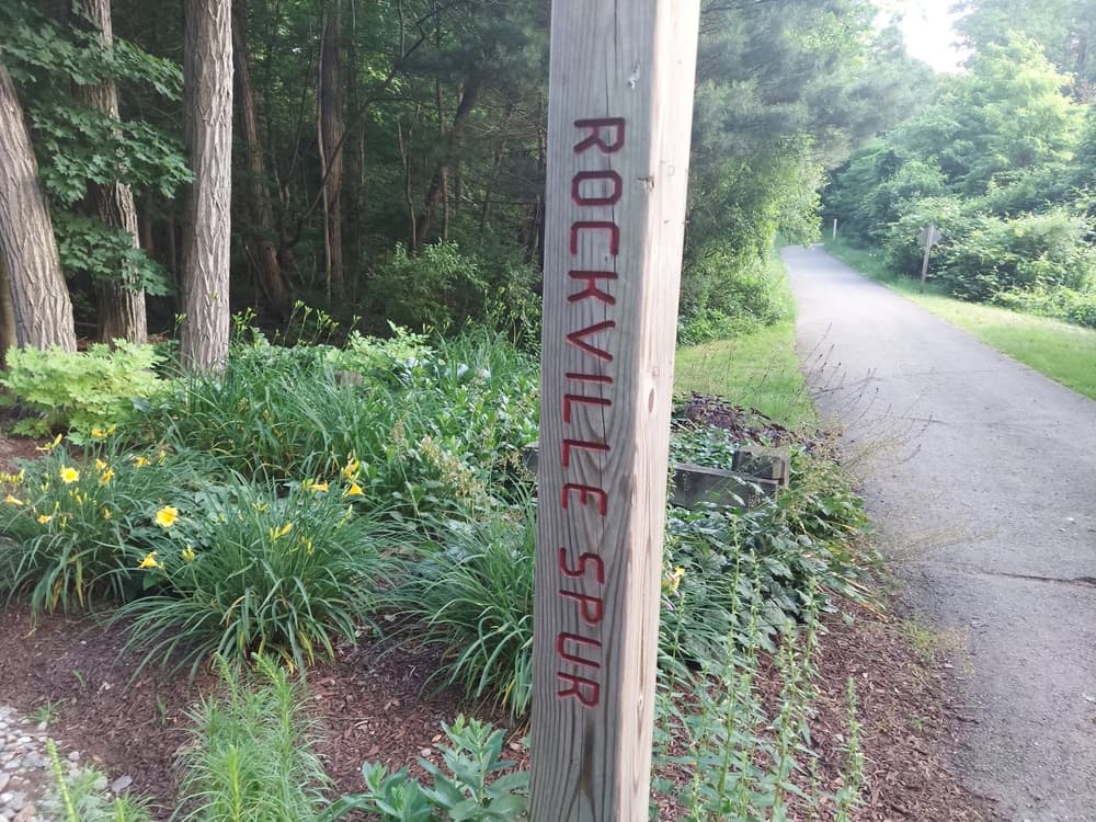
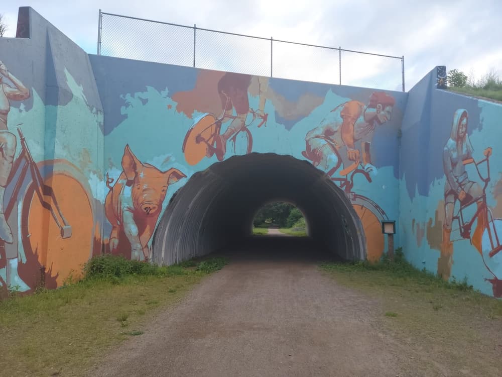
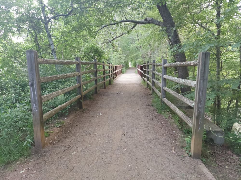
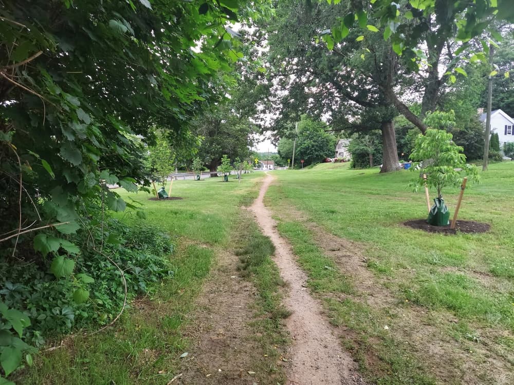
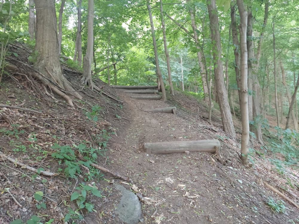
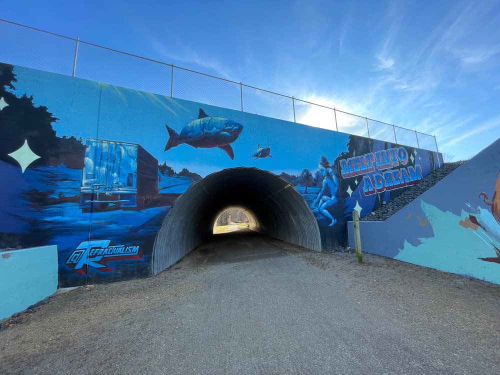
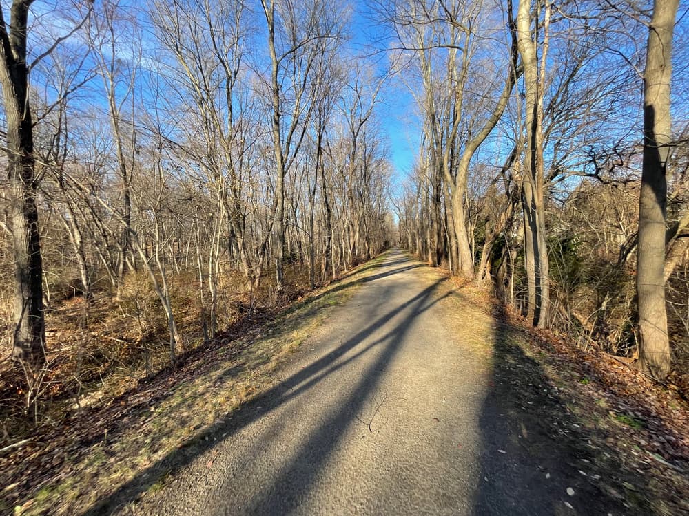
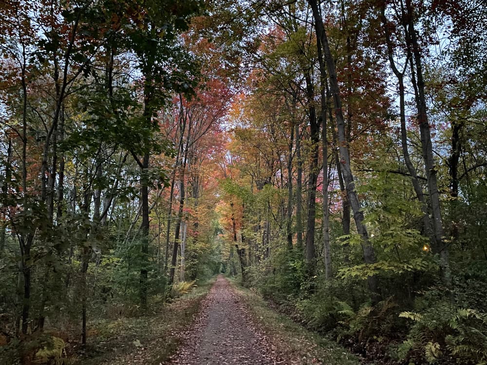
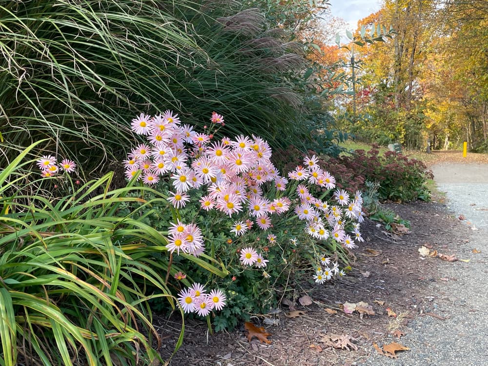
The Rockville Spur is a multi-use path along an abandoned railway, which splits from the Hop River State Park Trail and leads to Vernon's town center of Rockville. The former railway was constructed in 1862 to supply an already industrialized Rockville. The trail includes features such as a footbridge across the Tankerhoosen River, signs of the old train depot near the Church Street parking, mural art, and both residential and forest views.
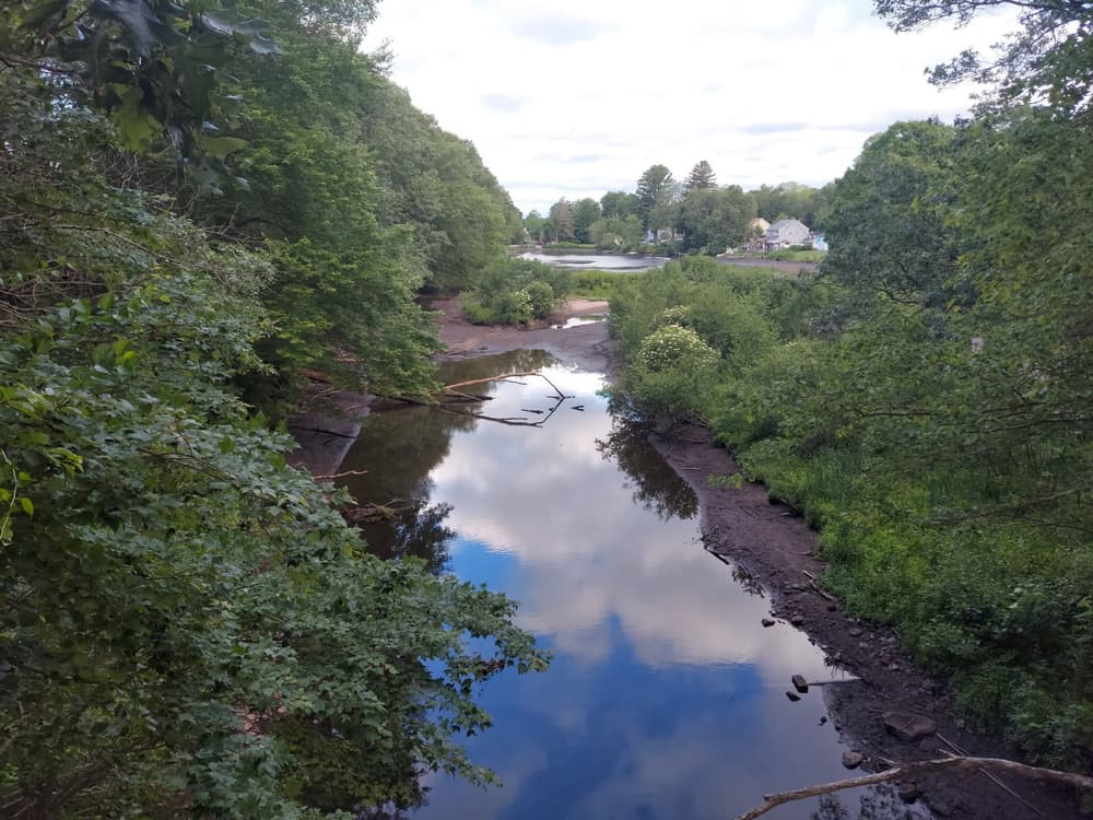
At the footbridge on Tankerhoosen River, travelers can look west for a scenic view of Tankerhoosen Lake. The Tankerhoosen River footbridge funding was obtained by the Vernon Hockanum River Linear Park Committee from the State of Connecticut via Intermodal Surface Transportation Efficiency Act (ISTEA) funding and grants.
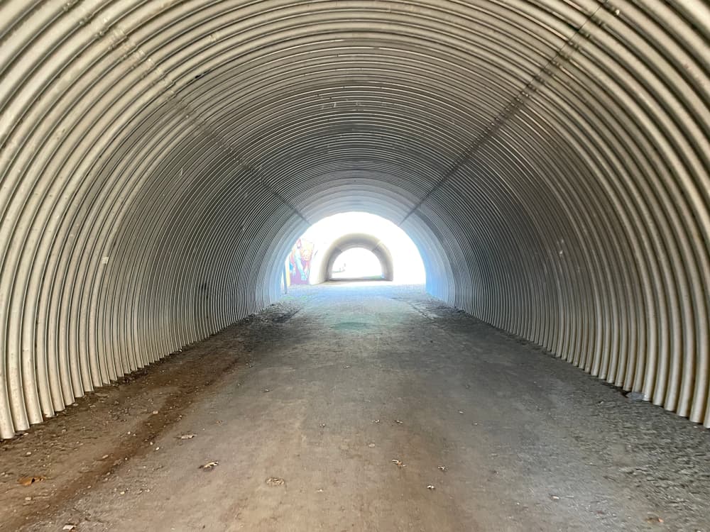
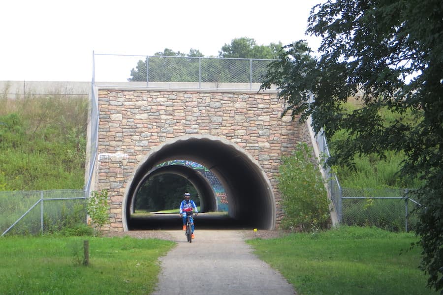
North of the river, the trail enters an underpass below I-84, with murals by local artists and community. Further north, the trail crosses Hartford Turnpike - users are advised to be careful here and watch for fast moving vehicles. Then it heads back into the forest. Across West Street, the trail begins to narrow and surroundings alternate between residential and wooded.
Follow Hartford Turnpike/CT-30 to Dobson Road.
Take Dobson Road south for 0.4 miles. Then make a slight left onto Church Street. In 0.2 miles, the parking lot is on the left.
Take Dobson Road south for 0.2 miles. Then turn left onto Campbell Avenue. In half a mile, turn left onto Phoenix Street, then right onto Tankerhoosen Road. Parking is at the end of the road.
Follow Tunnel Road to its intersection with Warren Avenue and Valley Falls Road, near the tunnel.
Take Warren Avenue west for 0.9 miles. Turn left onto Phoenix Street, then right onto Church Street. In 0.1 miles, the parking lot is on the right.
Take Warren Avenue west for 0.5 miles. Make a slight right onto Maple Avenue. In 0.4 miles, turn right onto Phoenix Street, then right onto Tankerhoosen Road. Parking is at the end of the road.

Success! A new password has been emailed to you.