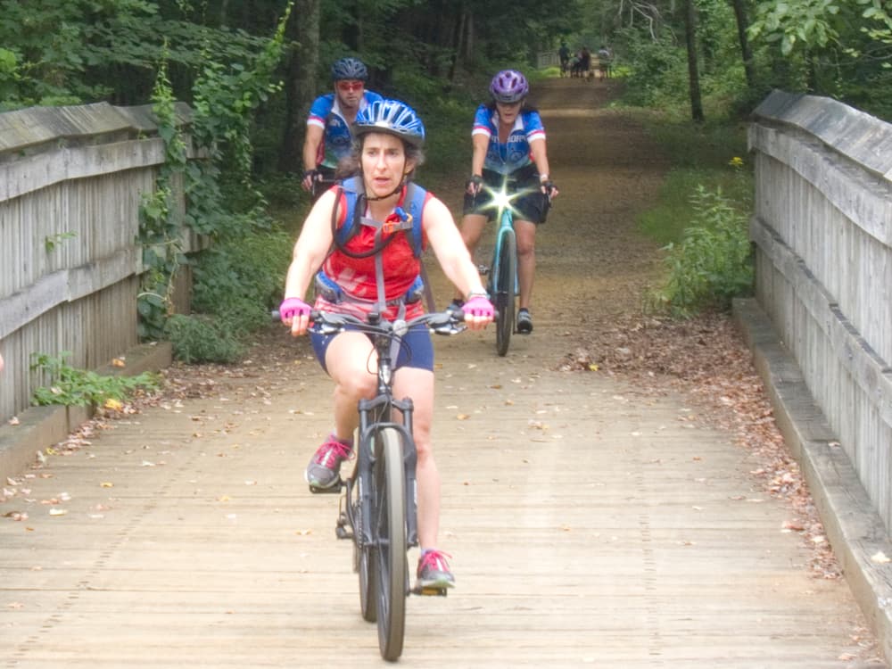
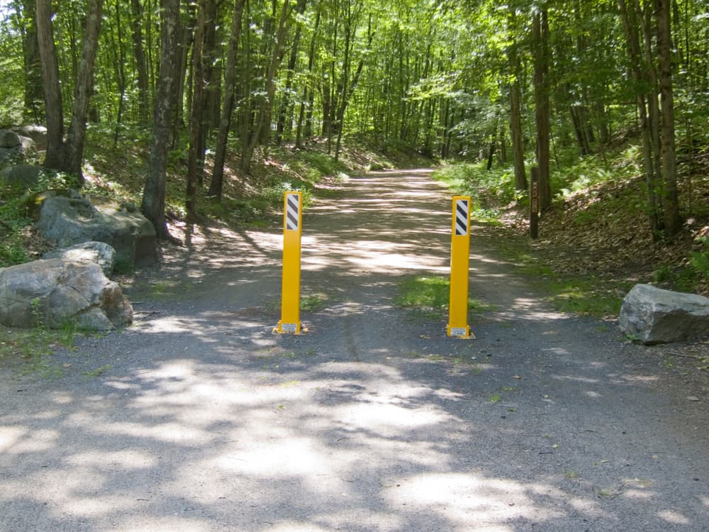
In the western sections of the Hop River State Park trail, development has put pressure on the preservation efforts that maintain this open space. Thus, in Vernon, for a mile and a half, the trail abuts the Belding Wildlife Area and passes through Valley Falls Park. In Bolton, the trail passes through both Bolton Notch and Hop River state parks along with some municipal open space for an additional mile and a half.
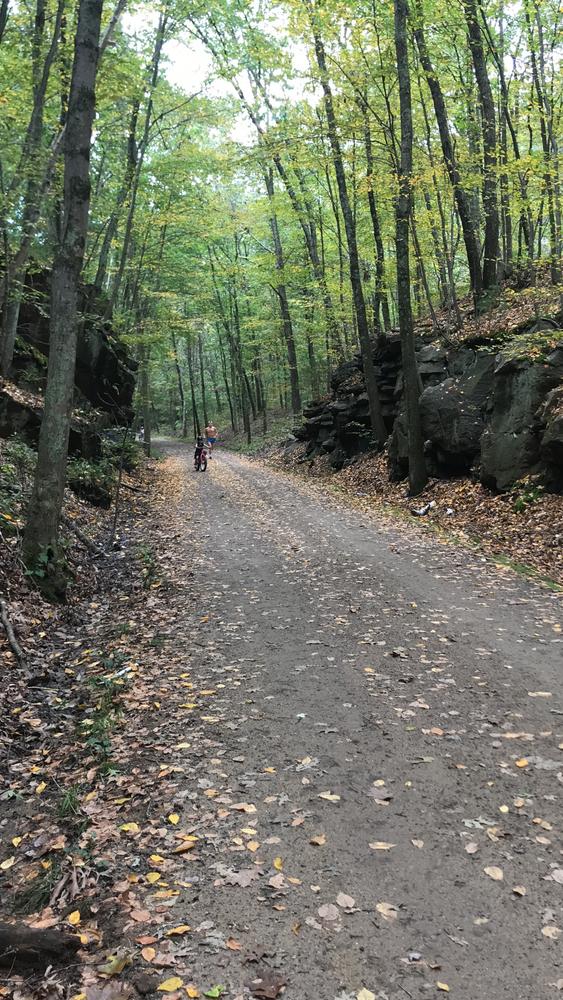
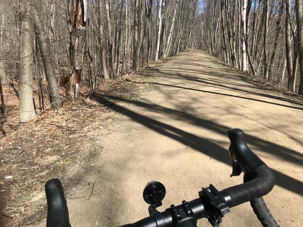
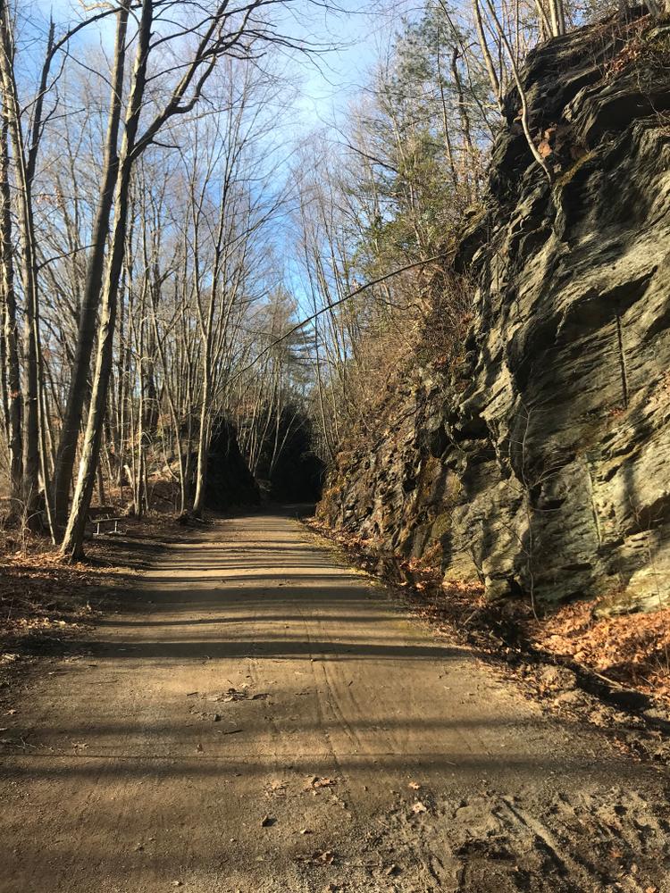
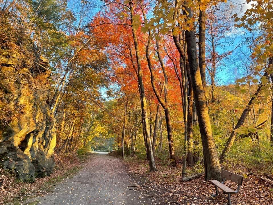
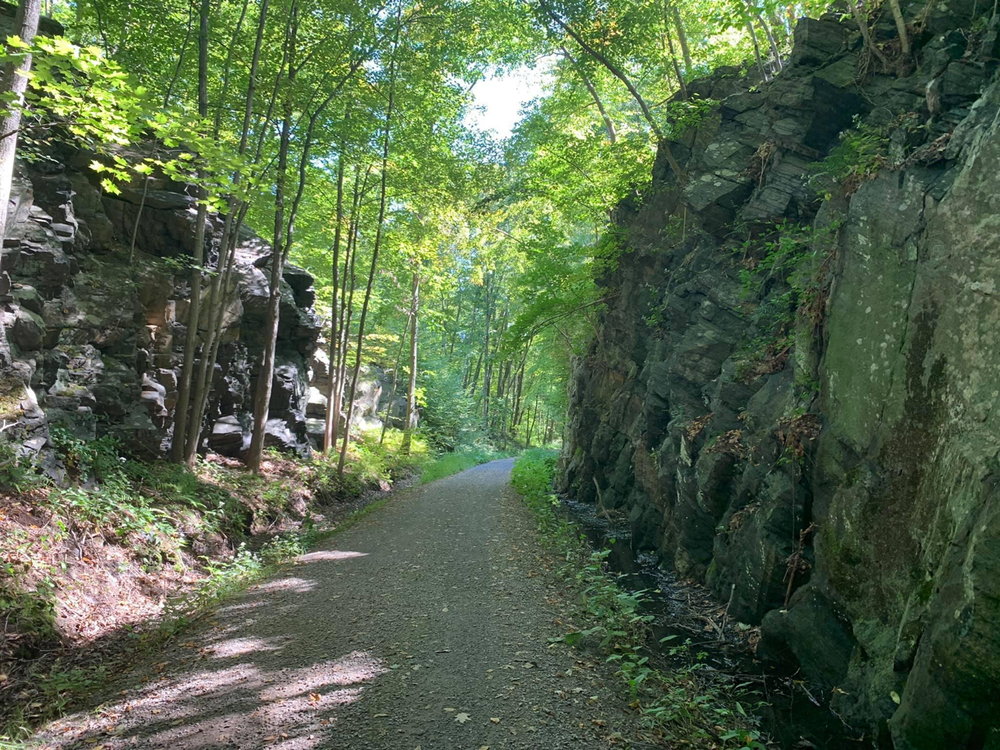
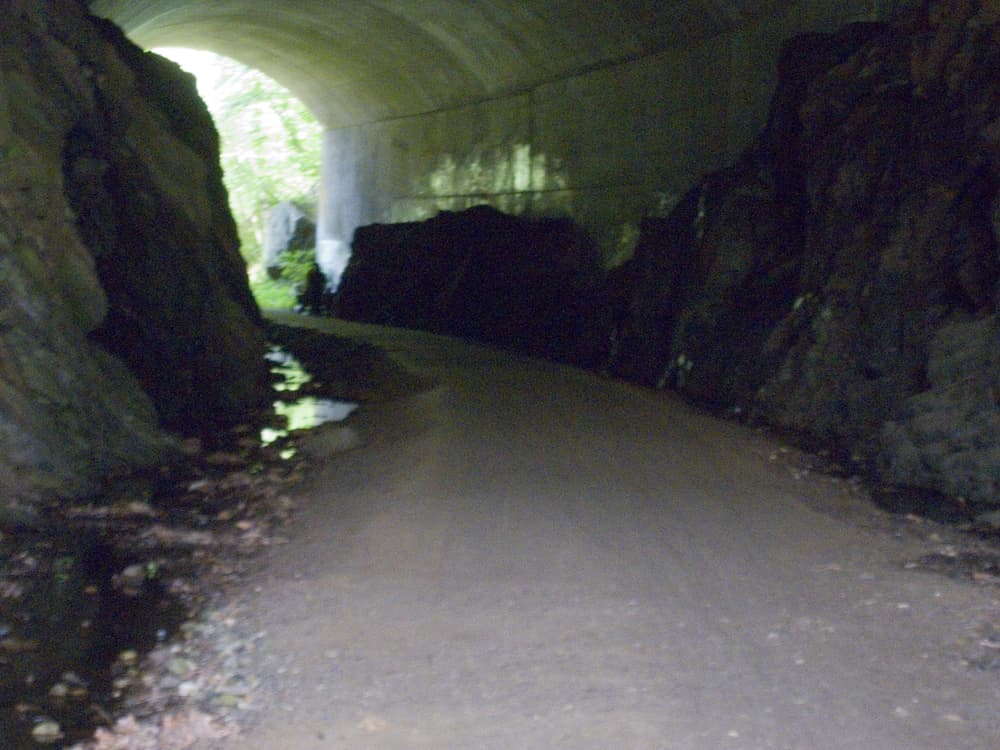
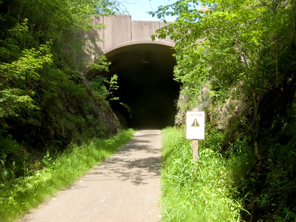
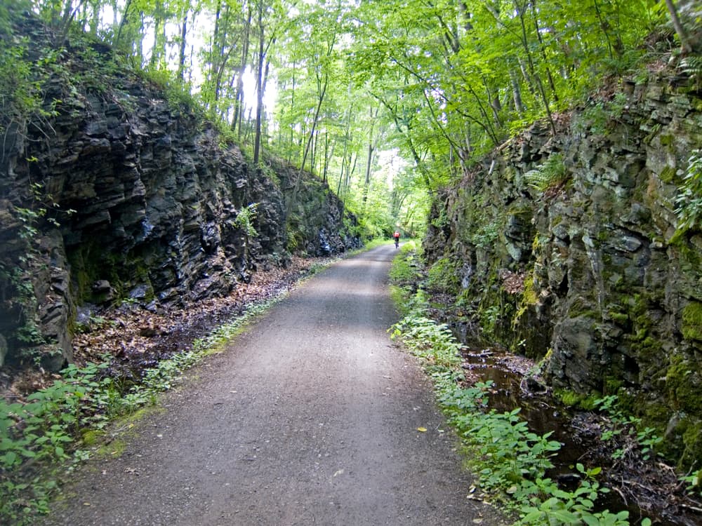
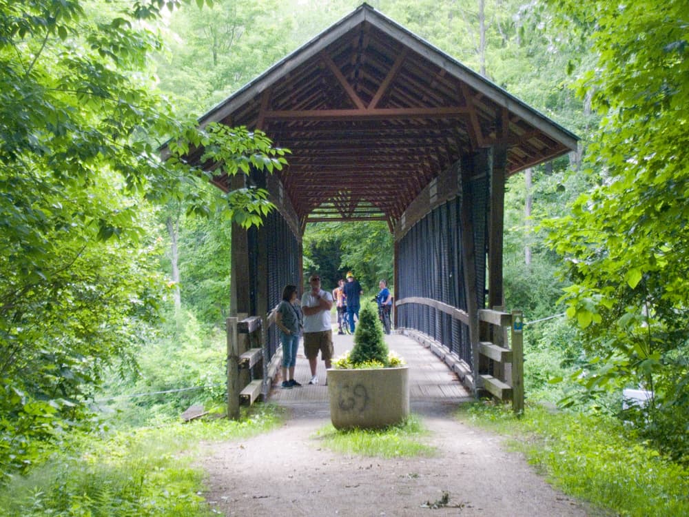
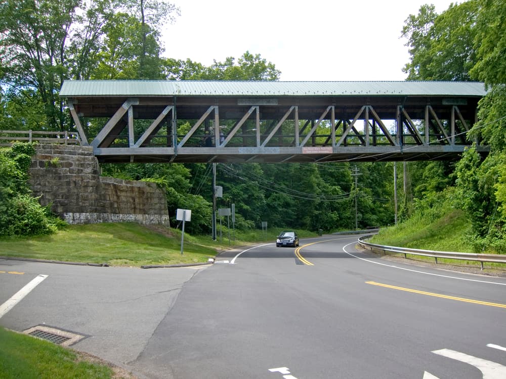
East of these towns, in Andover and Columbia, the trail is more remote, passing through woodlands, along the edges of fields and crossing and abutting the Hop River. Hop River State Park is also known for the workmanship of the stone cuts, the low land “fills” and the remaining stone work of water crossings.
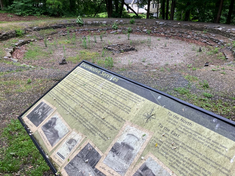
As the railroad became abandoned, weedy growth took over from lack of use. And as with so many rail lines, the war efforts demanded the steel from the rails and they were removed for scrap value. Fortunately, conservation efforts through the years have helped create the rail-trail systems and foster connections throughout communities.
Connecticut enjoyed a great railroad building era from the 1840s to the turn of the 20th century. This trail which began as the Hartford, Providence and Fishkill line from Hartford to Willimantic via Manchester was completed in 1849. Six years later in 1855 it was the longest east-west line in the state. By 1884 the line had become the Eastern Division of the New York and New Haven Railroad and a ticket would get you from Hartford to Willimantic in 65 minutes.
Hand labor, big time initiative, and bigger dreams led to the statewide pattern of rail beds that all but crisscrossed Connecticut. But with the increased proliferation of the automobile in the early 1910s and the increased personal mobility and growing road infrastructure that it brought, rails soon peaked with passenger flow, maintained themselves for a while with the freight trade and by the 1960s saw the end of what had been a vast rail based transportation era.
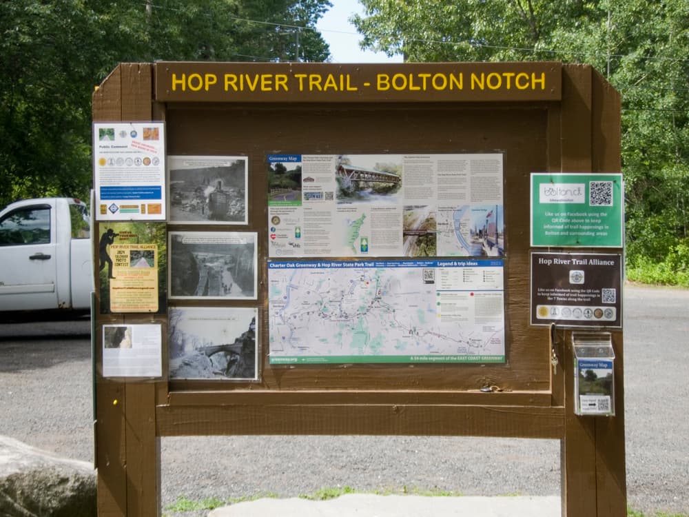
This park is managed by the following CT DEEP Park Headquarters:

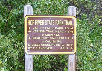
Parking is available at the western terminus where the trail meets Colonial Road.
Church Street has parking for 20+ cars. Roadside parking is available south of the tunnel on Tunnel Road leads to a path up to the trail. Parking is also available at Valley Falls Park on Valley Falls Road, following blue blazes to the south.
Parking is available near Bolton Notch State Park, at the junction of Route 44 and Route 6 in Bolton. Heading west on I-384 from Bolton Notch, turn right at end of guardrail and go downhill to parking lot. There is also parking available for 10+ cars on Steeles Crossing Road.
Parking for 10+ cars is available on Lake Road.
There are two small pull-offs located on Hop River Road and on Kings Road, both in Coventry.
There is a small 8-spot parking lot next to Mackey's store on Route 66.
Success! A new password has been emailed to you.