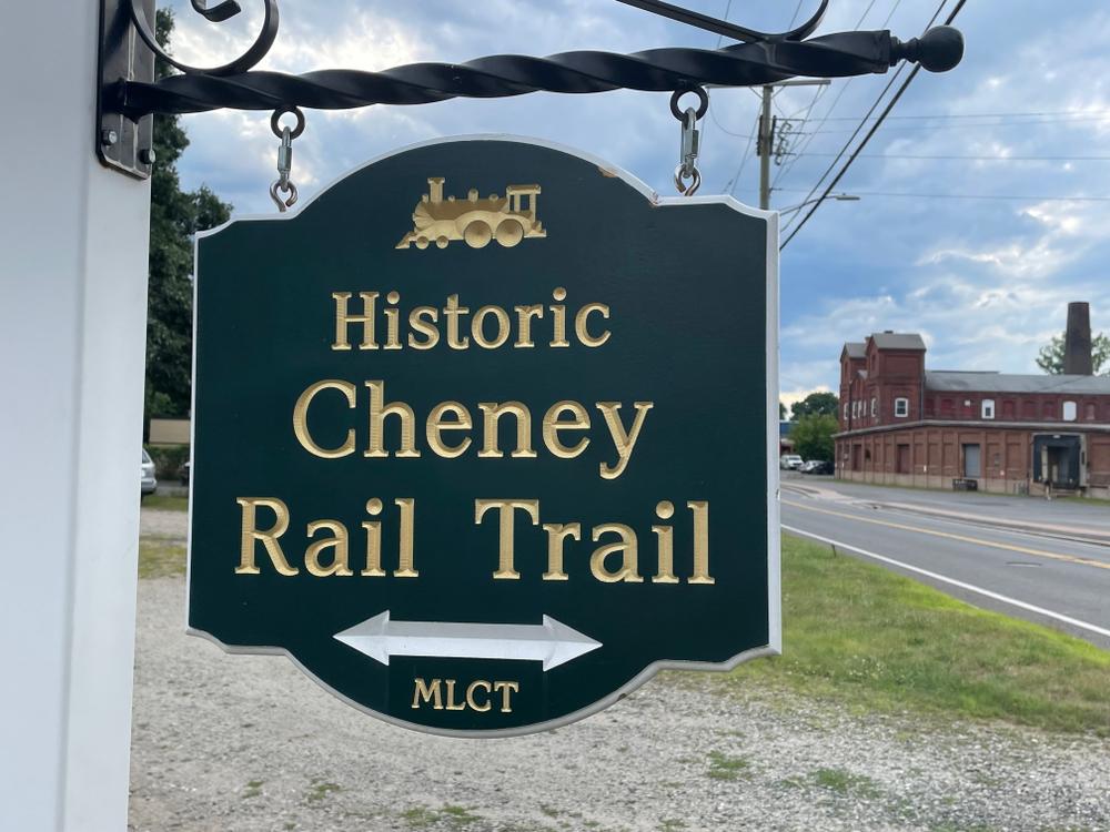
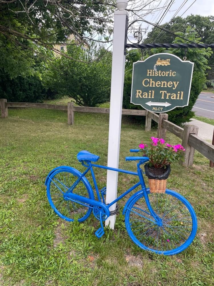
The Cheney Rail Trail is a high traffic, 1.9-mile, multi-use trail that starts in the Cheney Brothers National Historical Landmark District in South Manchester.
The Historic District includes over 275 mill buildings, workers' houses, churches, schools, and Cheney family mansions.
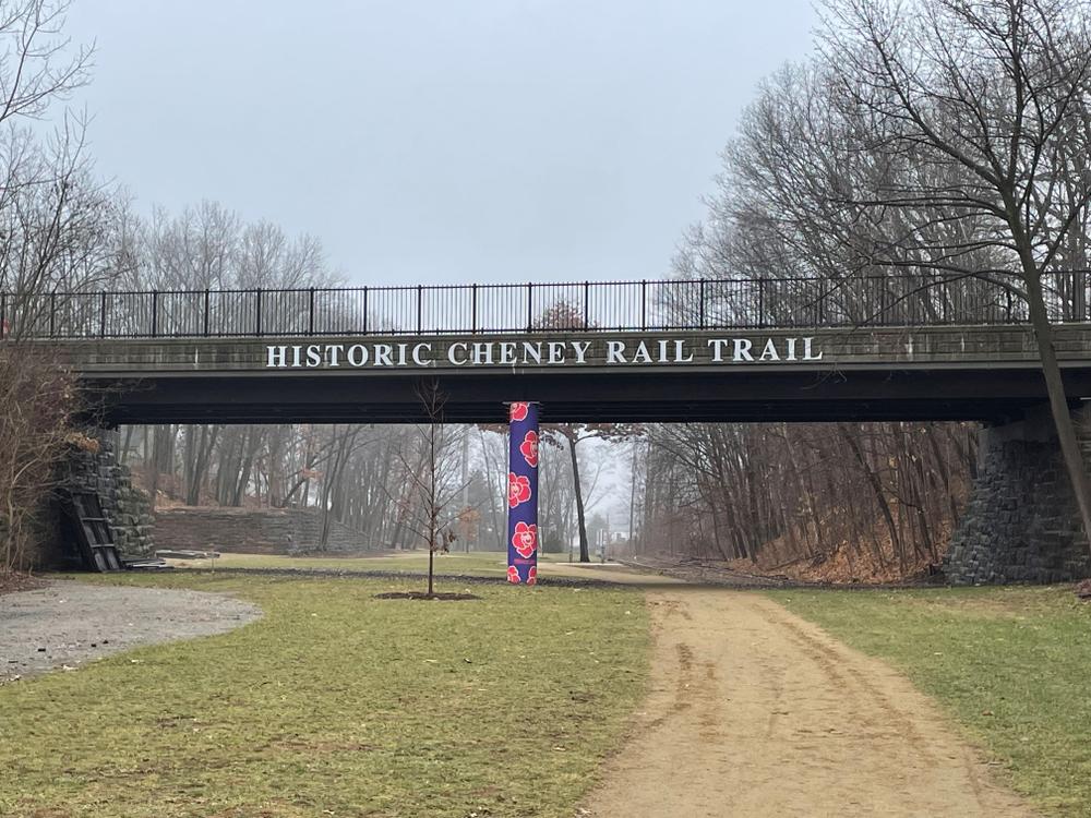
Crossing under Park Street, paintings and a large mural recognize the railroad and silk patterns of yesteryear. Shortly thereafter, the trail crosses a bridge over Center Street followed by a soaring bridge over Bigelow Brook. To the right (east) is a beautiful view of Center Springs Pond. Shortly after the bridge the "Path to Wellness" hiking trail branches off on the right (east) side of the trail.
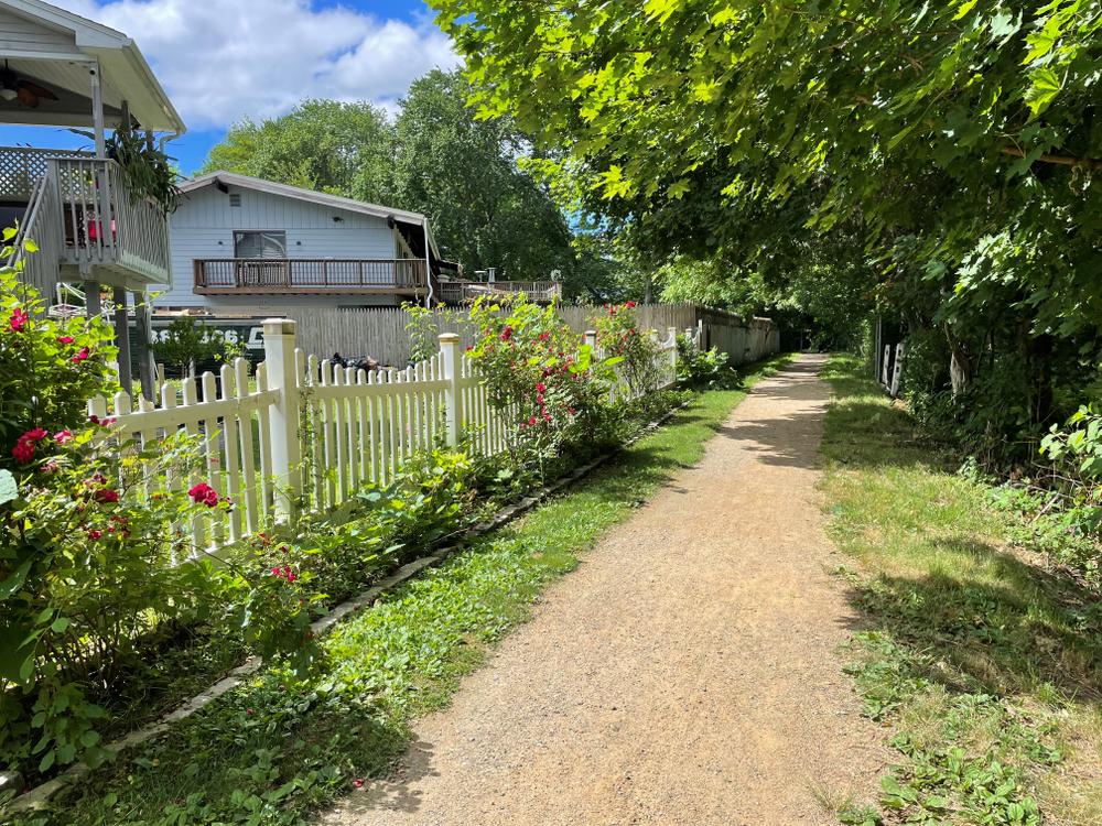
Continuing along, the trail reaches Middle Turnpike with shops and restaurants on the west side of the trail. Next, the trail passes through a mainly residential area. Another street crossing at Woodland Street then the trail reaches Hilliard Street. The trail reaches the end of the line at Main Street. Return to starting point (south end) and optionally visit the Manchester History Center (175 Pine Street) located in the Historical District.
The map includes two segments that are not part of the Cheney Rail Trail, but are connectors.
In the north end of the Cheney Rail Trail, a 1.5 mile road/sidewalk connection leads to the 20 mile Hop River State Park Trail. The connector follows North School Street where it passes by Union Pond Park, to Sheldon Road to Colonial Road.
On the south end of the Cheney Rail Trail in the Cheney Historic District, a 0.8 mile road/sidewalk connector leads to the Charter Oak Greenway - a 12 mile bike path that runs from East Hartford to Bolton Notch. The connector follows Elm Street, Hartford Road, and Prospect Street.
The southern half of the trail offers a more accessible experience on a 6 ft wide dirt path with minimal slope; there is a 10 ft long moderate incline just south of Woodland Street.
The Cheney Rail Trail was originally built as the South Manchester Railroad (S.M.R.R.) in 1869. The rail line was the shortest passenger and freight railroad in the United States at just 2.5 miles long. The rail line connected the expansive Cheney silk mills complex in the south end of town to the "Main Line" at north end of town. The Main Line, built in 1849, was the Hartford, Providence & Fishkill line that ran east-west connecting Hartford to Willimantic through Manchester. In 1923, more than 100,000 passenger tickets were sold and as many as 3,500 passengers a day took the trip on special occasions. As trolleys and automobiles became more popular, passenger service ended in 1933, but locomotives and freight still rolled along the rails into the 1980s. The conversion of the rail line to rail trail took place in stages between 2005 and 2018.
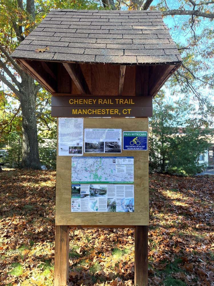
South half of trail, up to Middle Turnpike: Town of Manchester; north half of trail: Manchester Land Trust

There is street parking in the Cheney Historic District with trail access via Elm Street. There is also a designated parking lot at 363 Broad Street
There is a designated parking lot at 28 Hilliard Street.
Success! A new password has been emailed to you.