Ready, Set, Go Outdoors! Connecticut Trails Day is June 6 & 7. Explore 200+ FREE outdoor adventures!
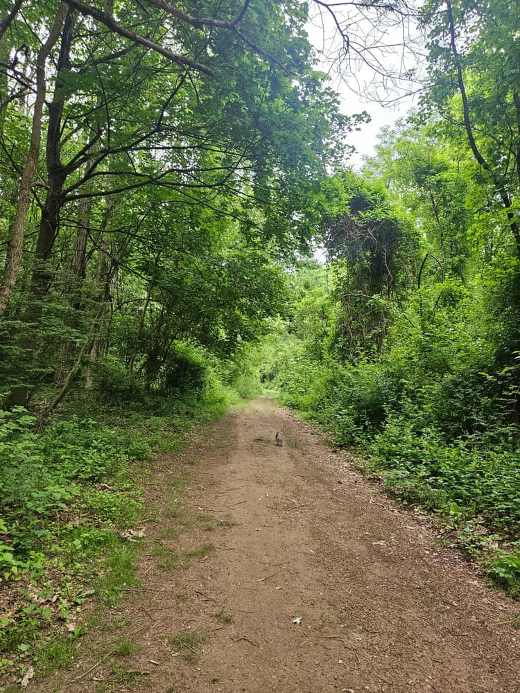
The Scantic River State Park Scitico & Somersville section features an easy-to-moderate trail system with a marked waterfront loop (Yellow Trail). From the parking area, the trail begins wide and flat and continues up some moderately steep slopes where trail users are advised to watch their footing. Where the trail meets the river, one can fish or paddle, or simply view the ripples and bends of the Scantic River. In certain sections of the Yellow Trail, trail users can look across the river to see remains of a dam from the Hazard Powder Company operation dating back to the 1830's.
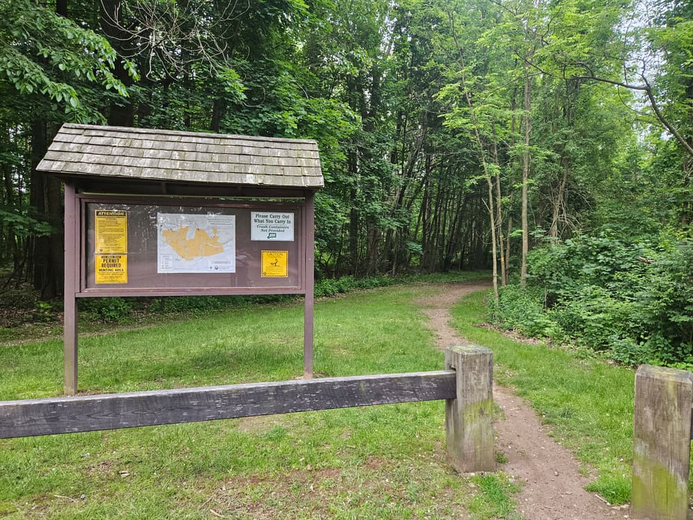
All of the trails in this Scantic River State Park block are non-motorized multi-use. Most of the trails are marked with yellow blazes, but some are un-marked. It is highly encouraged that trail users stay on marked trails and use a trail map.
This area is home to a multitude of flora and fauna. A variety of birds can be found throughout the river, floodplain, wetland, and forest habitat, especially in quieter locations and during fall and spring migration.
There are two other sections of the Scantic River State Park, Broad Brook and Hazardville, and together the three parcels cover 600 acres across three separate towns in the Scantic River Watershed. Additional trails, river access, historic remnants from a former gunpowder factory, and more can be found in the additional sections.
Before this area became a state park, water from the Scantic River was used as an energy source for Colonel Augustus Hazard's gunpowder mill. For more information about this historic land use, and to see remnants of the mill operation, go to Scantic River State Park - Hazardville.
This park is managed by the following CT DEEP Park Headquarters:
The trailhead and parking area are located off of Hazard Avenue in Enfield, CT.
Take Exit 45 for CT-140. Follow CT-140 east toward Warehouse Point/Ellington. After five miles, continue straight onto CT-191 North/Broad Brook Road. Follow for 3.5 miles, and then turn right onto Hazard Avenue. In about one mile, the parking area and trailhead will be on the right side.
Follow Main Street West until it becomes West Stafford Road. Continue straight onto West Stafford Road and follow for 1.3 miles. At the traffic circle, take the 2nd exit onto CT-190 West/West Stafford Road. Follow CT-190 West for 8.8 miles. The parking area and trailhead will be on the left side.
Success! A new password has been emailed to you.