Ready, Set, Go Outdoors! Connecticut Trails Day is June 6 & 7. Explore 200+ FREE outdoor adventures!
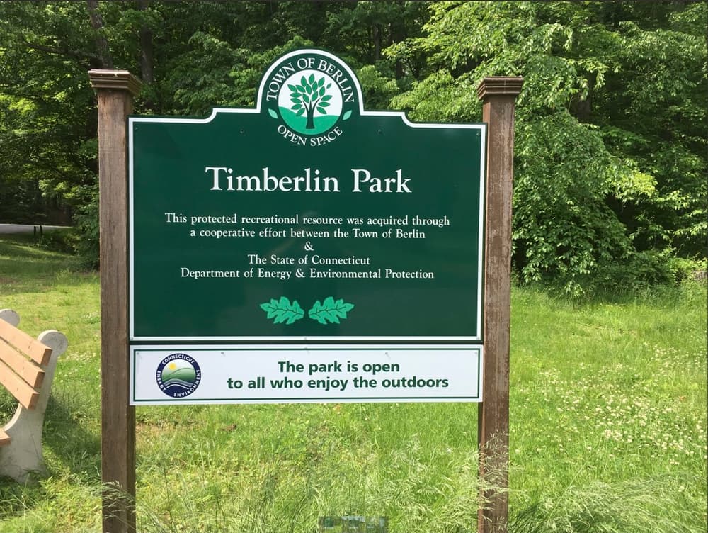
Timberlin Park contains the Timberlin Golf Course and adjacent open space. Primary trails in the Park are a 2-mile portion of the Metacomet Trail, the Amelia Green Trail, and a portion of the Metacomet Loop Trail. The park also provides a picnic pavilion at Sam DiPietro Grove.
The Metacomet Trail can be accessed via a connector trail beyond the picnic pavilion. It climbs from the parking area to the Short Mountain ridgeline with scenic vistas looking to the south. The Metacomet Trail is a mix of packed earth/dirt and rock/ledge and has some change in elevation.
The Amelia Green Trail is 1.4 miles long and can be accessed from multiple points near the parking area. The Trail runs along Upper Harts Pond and a stream that flows into the Pond, and then loops back towards the parking area. Upper Harts Pond is part of the City of New Britain reservoir system so hikers should respect water supply watershed rules. Most of the Amelia Green Trail are packed earth/dirt with small changes in elevation. The western-most stretch of the Amelia Green Trail is washed and stony, parts of the trail can be flooded after a rain storm or snow melt.
Timberlin Park also contains a part of the Metacomet Loop Trail that was completed in 2018. This 15.1-mile Loop Trail goes through Timberlin Park, Hatchery Brook Conservation Area and Bicentennial Park, then connects to the Metacomet Trail in Blue Hills Conservation Area at the intersection of Orchard Road and Kensington Road. It then follows the Metacomet Trail to Hubbard Park in Meriden and then back to the “starting point” in Timberlin Park.
Marjorie Moore Road and the service road, between Chamberlain Highway and the parking lot, are paved and flat except for a hill at the Chamberlain Highway end. Most of this portion of the Metacomet Loop Trail (where it isn’t on the pavement) is packed earth/dirt with small changes in elevation. The part of the Metacomet Loop Trail north of the service road includes some boardwalks and can be flooded after a rain storm or snow melt; hikers may use the service road instead.
Upper Harts Pond is part of the City of New Britain reservoir system so hikers should respect water supply watershed rules.
Foot traffic only on the blue blazed Metacomet Trail, maintained by the Connecticut Forest and Park Association (CFPA)
The pavilion at Sam DiPietro Grove (at the end of Marjorie Moore Road) can be reserved; contact the Berlin Parks and Recreation Department at 860-828-7009 for rental information. Use of other picnic areas are free on a first-come, first-served basis.
Take Exit 30 for Marion Avenue and head east. Continue on W. Main Street/Main Street towards Southington Center. Stay on West Main Street/Main Street for 1.4 miles, finally bearing left at the intersection with Old Turnpike Road. Turn right onto Meriden Avenue/Route 120 heading south, and then turn left onto Oakland Road. Continue straight on Oakland Road/Berlin Street/Route 364 for about 1.7 miles. To stay on Route 364, turn right onto East Street and then left onto Kensington Road. Continue east on Kensington Road/Southington Road/Route 364 for about 2 miles, then turn left into the park on Don Bates Drive. Follow Don Bates Drive past the golf course Club House to the larger parking lot in the back.
Westbound, take Exit 31 and turn right onto Mill Street/Route 372, then turn left onto Worthington Ridge. Eastbound, take Exit 32 and take the second right onto Worthington Ridge. Head south for about 0.5 miles, then turn right onto Hudson Street. Continue straight to stay on Norton Road. After 2.5 miles, turn left onto Chamberlain Highway/Route 72S. Turn right onto Southington Road/Route 364, and after 0.6 miles turn right again into the park on Don Bates Drive. Follow Don Bates Drive past the golf course Club House to the larger parking lot in the back.
Additional parking is also available along the cul-de-sac near the Timberlin Picnic Pavilion. After passing the clubhouse, follow Marjorie Moore Road out of the far left (west) corner of the large parking lot.
Success! A new password has been emailed to you.