This 51.48-acre property was donated by one of the founders of the Morris Land Trust (MLT), Joan Bertaccini, and her family. It is entirely wooded, except for some rocky outcroppings, and it contains a serpentine stone wall, a stream and wetlands. It also is the proud home to the fifth largest Chestnut Oak in Connecticut: 98 feet tall, with a crown diameter of 75 feet and circumference of 137 inches.
Joan’s Trail, constructed by Morris Scout Troop 28 led by James Asman as his Eagle Scout project, is a public hiking trail that departs from the kiosk at the side of the road. White blazes lead hikers on a 1.4-mile out-and-back walk that traverses an old logging road, crosses a stream, and ends at a ledge with views in the winter.
About 0.1 mile south and across Clark Road from the Joan's Trail trailhead, Litchfield Land Trust (LLT)'s Stillman-Danaher preserve trails can be accessed for a longer hike. Please be cautious crossing the road. At the west end of Joan's Trail, a trail connection is in progress to the LLT Blakely Trail.
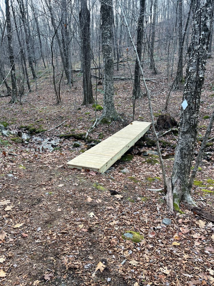
The kiosk at the trailhead was constructed by Morris Scout Troop 28 led by Louis Stencil-Smith as his Eagle Scout project. Troop 28 also constructed the bridge over the stream.
Follow CT-61 North toward Litchfield. Turn left onto CT-63 North and follow for 1.6 miles. Turn right onto Camp Dutton Road. Turn left onto Chestnut Hill Road. In 0.7 miles, turn right onto East Street. Follow for 1.8 miles and turn left onto Clark Road. In about 0.7 miles, roadside parking is on the left at the trailhead (look for the kiosk).
Follow Main Street South to Litchfield Street. Continue on Litchfield Street for about a quarter mile and turn left onto CT-202. In 1.5 miles, turn left onto Peck Road and continue for 0.4 miles. Continue straight onto Clark Road. In about 0.8 miles, roadside parking is on the right at the trailhead (look for the kiosk).
Success! A new password has been emailed to you.