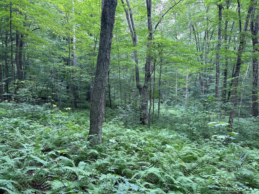
The Blakely Trail is moderately difficult with some modest elevation gain. From the Fern Avenue trailhead, it is a short walk on a gravel road before turning left onto an old, abandoned logging road along the preserve western border. This makes for particularly easy walking early on. The property connects other existing protected forested lands to form a block of nearly 1,000 acres of protected land. This forms a critical cluster of protected forest that is sequestering and storing carbon and protecting the water quality of Spruce Brook and the expanded watershed. This valuable core forest land supports a diversity of flora and fauna. It is an excellent example of a healthy New England mixed hardwood forest.
The Blakely hiking trail travels one mile from the trailhead on Fern Avenue to the connection with Morris Land Trust's Adam-Purves Parcel. Hikers can extend the trip through this protected land to Clark Road and continue on across Clark Road to the Stillman-Danaher Preserve trails. The Stillman-Danaher Preserve trails lead to Perkins Road and then to Wheeler Road. Walking north on Wheeler Road leads to the Leiberman Preserve and loop trail. Together these connected trail systems allow for more than 7 miles of hiking trails.
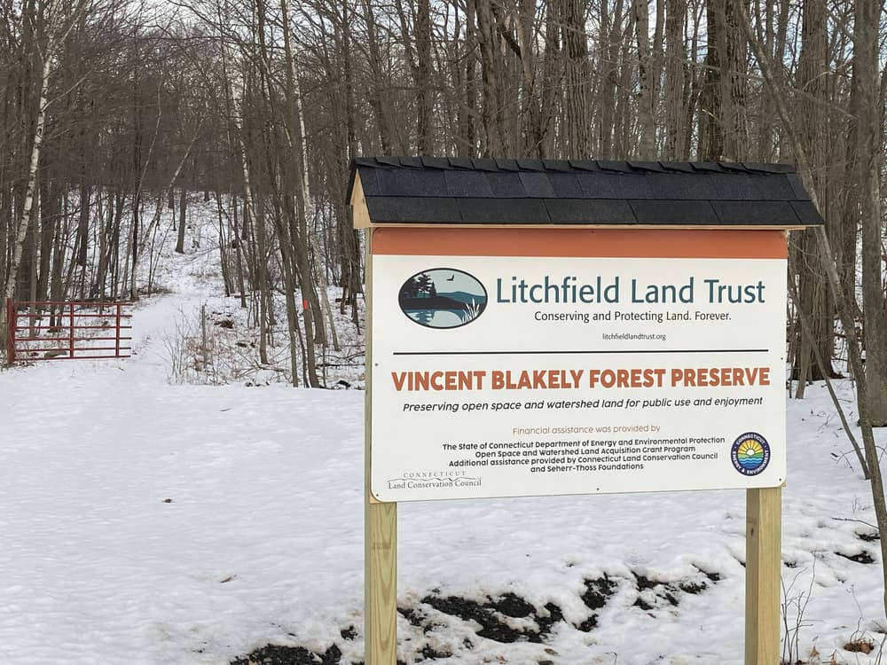
This land is protected by the Litchfield Land Trust because of generous land donations and grants.
Turn southeast onto Fern Avenue. The trailhead is located a quarter mile down Fern Avenue from Route 202. The street address is 206 Fern Avenue, Litchfield, CT.
Take Route 6 to South Main Street in Thomaston. Turn northwest onto Northfield Road/CT-254 North. Follow for 7.3 miles. Turn left onto CT-118 West and then right onto Fern Avenue. In 1.5 miles, the trailhead is on the right. Park along the road.
Success! A new password has been emailed to you.

While the trail is not unpleasant, there’s nothing here to write home. Your enjoyment will likely be dependent on how overgrown the land trust has allowed the trail to get (based on my experiences, best to keep your expectations low), how much you appreciate the solitude of largely untrammeled spaces, and how nice the weather is.