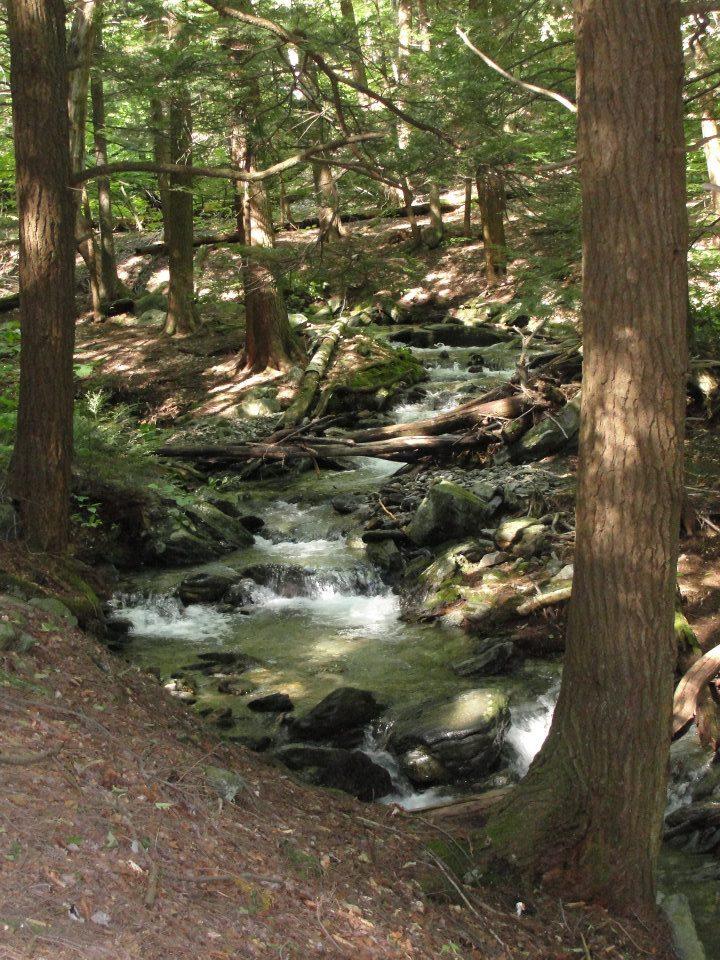
Traveling north from New York, the Appalachian Trail enters Connecticut at Hoyt Road in Sherman. It soon climbs Ten Mile Hill, with a view to the west including the Ten Mile River watershed. The Trail descends to the confluence of the Ten Mile and Housatonic Rivers. Crossing the Ten Mile River on the Ned Anderson Memorial Bridge, the Trail continues over the rugged Schaghticoke Mountain and Mt. Algo before descending to Macedonia Brook in the Town of Kent.
The Trail climbs through forested hills to a beautiful southern view at Caleb’s Peak. It then descends the spectacular St. Johns Ledges, before again reaching the Housatonic River. Here, the Trail follows the river for five miles, the longest riverside walk on the entire Appalachian Trail. Leaving the river, the Trail ascends Silver Hill before entering the Housatonic State Forest, where it travels through hilly and wild hardwood forests. Crossing into Salisbury, the path again descends to the Housatonic River Valley. In Falls Village, there is a one-mile section of the Appalachian Trail considered to be accessible for wheelchair use (with some assistance).
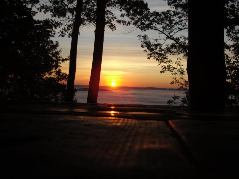
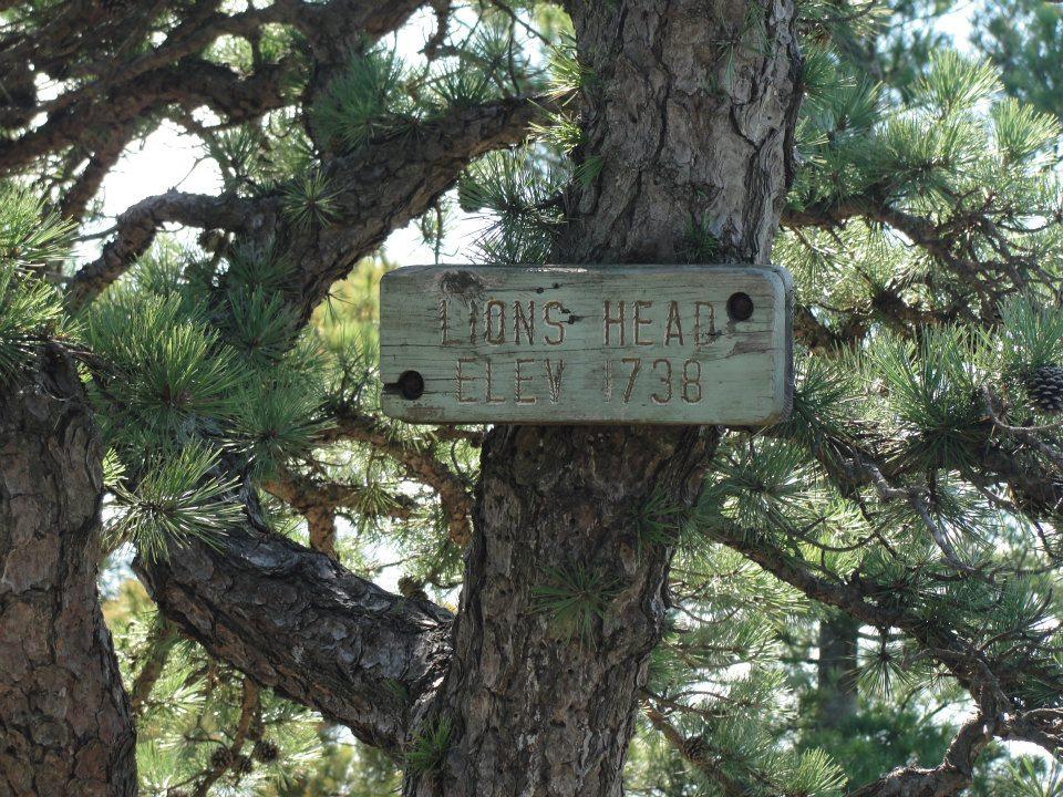
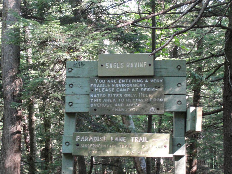
The Trail leaves Falls Village, passes the scenic "Great Falls of the Housatonic," and climbs to the top of wooded Prospect Mountain. It soon reaches Rand’s View, one of the most photographed viewpoints on the Appalachian Trail. The Trail descends back to the valley near Salisbury Center. It then climbs up to the Riga Plateau with views from Lions Head and continues on to the top of Bear Mountain, the highest summit in the Nutmeg State. The trail enters Massachusetts and soon enters the beguiling Sages Ravine. The Connecticut Appalachian Mountain Club (CT AMC) maintained section of the Appalachian Trail ends at the Sages Ravine brook crossing.
Trail users have reported rock scrambles near Lions Head (Salisbury, south of Bear Mountain), St John's Ledges (along River Road in Kent), and Bear Mountain (north side). A rock scramble is a section of trail with rocks or boulders that often requires the use of both arms and legs, but not rock-climbing gear, to navigate. Earn the Scrambled! rock scramble badge!
The Appalachian Trail, completed in 1937, is the first completed national scenic trail, although it was not designated as one by the Nation Park System until 1968. Crossing through 14 states, eight National Forests, and numerous state and local forests and parks, the Appalachian Trail is the nation's longest marked footpath, stretching 2,190 miles from Maine to Georgia. This trail also provides habitat for more than 2 ,000 rare, threatened, endangered, and sensitive plant and animal species at about 535 sites.
The Appalachian Trail is managed in cooperation between land managing agencies, the Appalachian Trail Conservancy and trail maintaining clubs.

Success! A new password has been emailed to you.