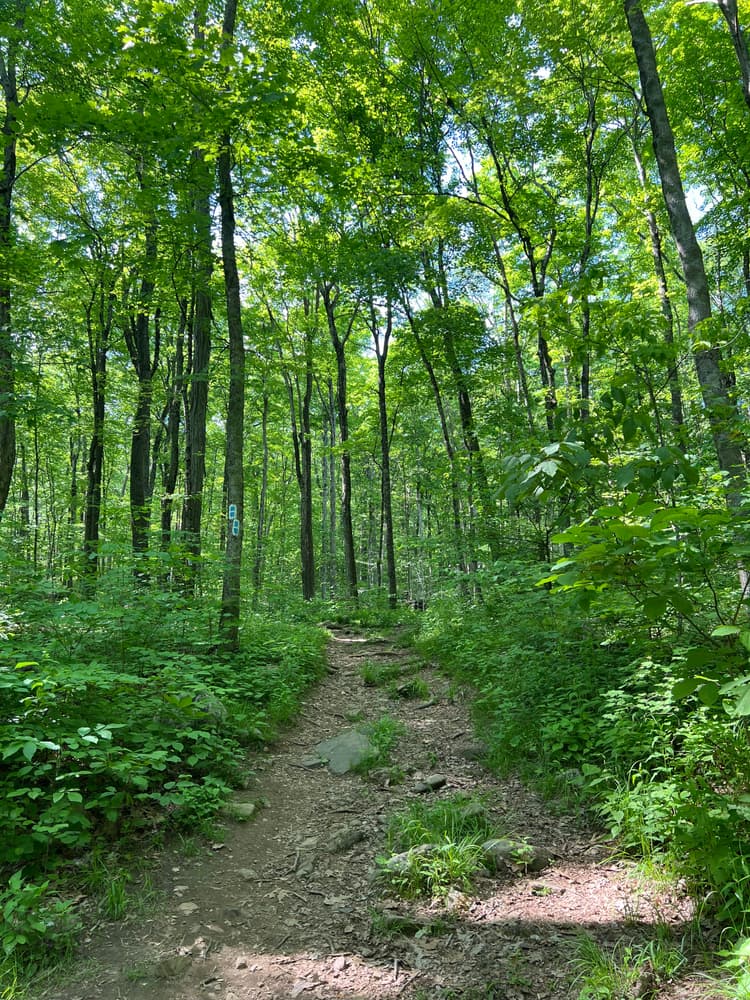
Multiple loops wind through wooded areas, with elevations between 400 and 660 feet. The uneven surface and elevation gains make for a moderate to challenging hike, with scenic views and plenty of wildlife.
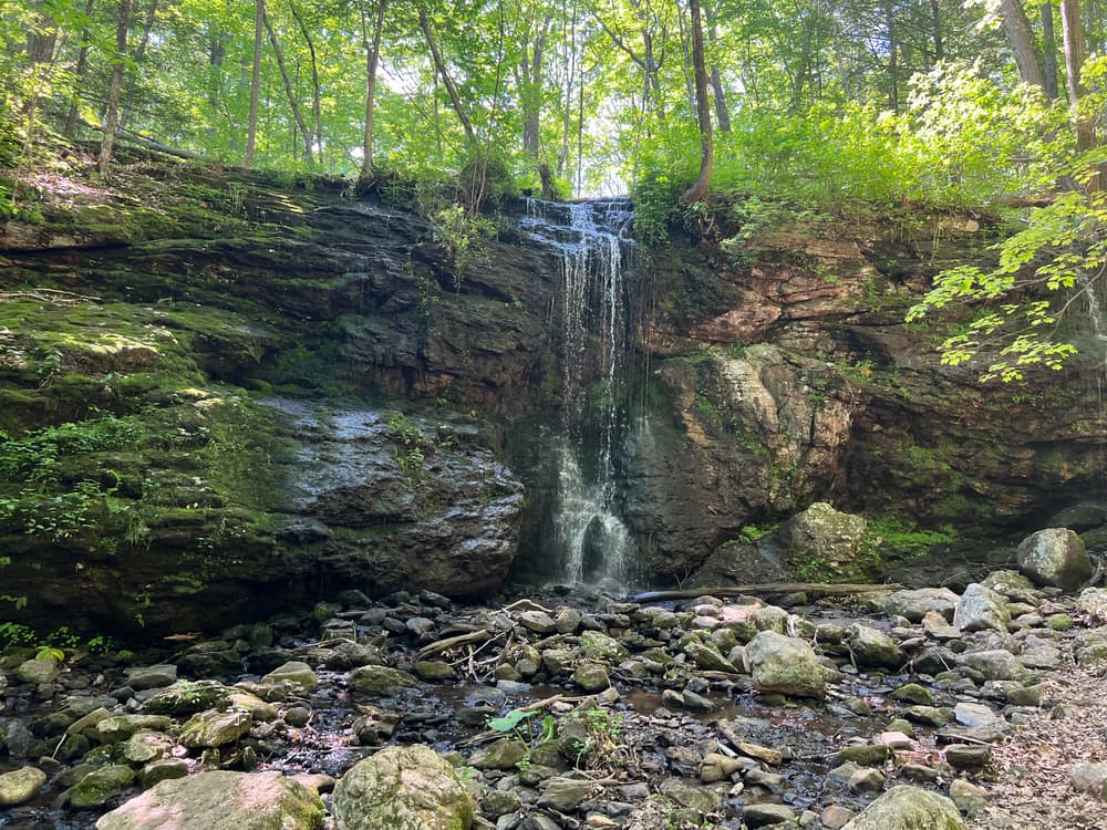
Going east from the parking lot provides access to the Blackledge River below the dam. Staying on the eastern side of the park leads to multiple junctions with Meshomasic State Forest, which eventually connects to Gay City State Park, whereas the northwestern loop brings you to the Blackledge Falls. For more details, see the Town's Blackledge Falls Park website.
This park is part of the Glastonbury Passport to Parks program.
A CT License is required for fishing in Blackledge River.
The park is located at 3874 Hebron Ave in Glastonbury, CT 06033. A small parking area is available for vehicular access.
From Route 2 East, take Exit 8 Hebron Avenue. Take a left at the end of the exit onto Hebron Avenue and go about 10 miles. Black Ledge Falls will be on the left (if you see the Hebron Town Line sign, you have gone too far).
From Route 2 West, take Exit 10. Take a right at end of exit ramp onto Manchester Road. Follow Manchester Road (about 3-4 miles) to the intersection with Hebron Avenue. Take a right at that stop light and go about 6 miles or so on Hebron Avenue. Black Ledge Falls will be on the left (if you see the Hebron Town Line sign, you have gone too far).
Success! A new password has been emailed to you.