Ready, Set, Go Outdoors! Connecticut Trails Day is June 6 & 7. Explore 200+ FREE outdoor adventures!
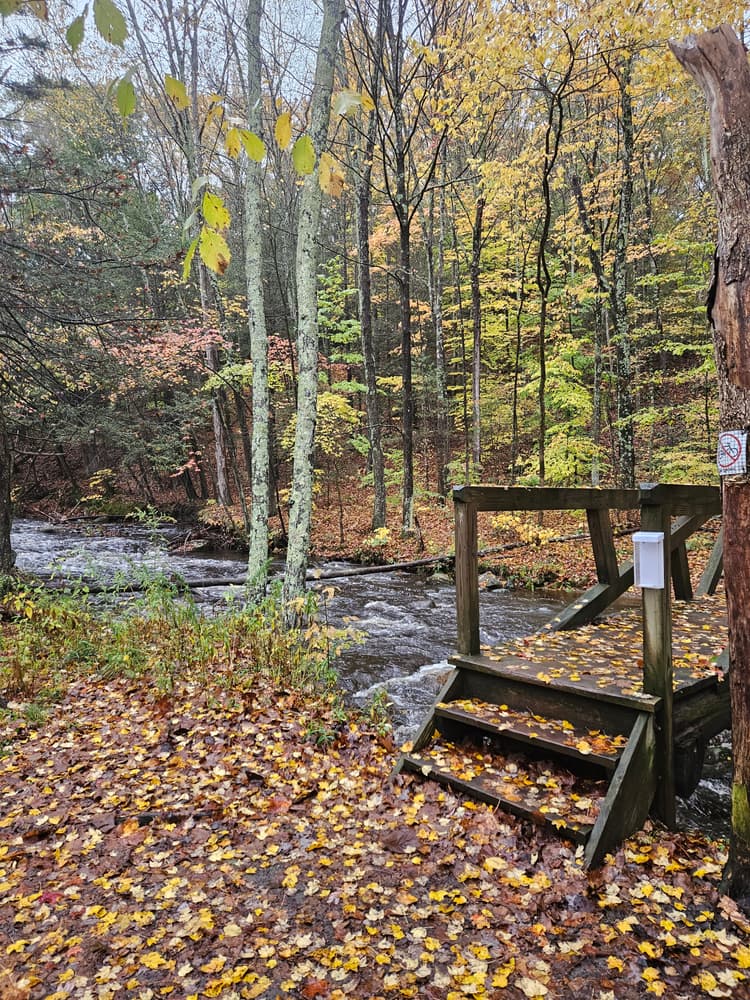
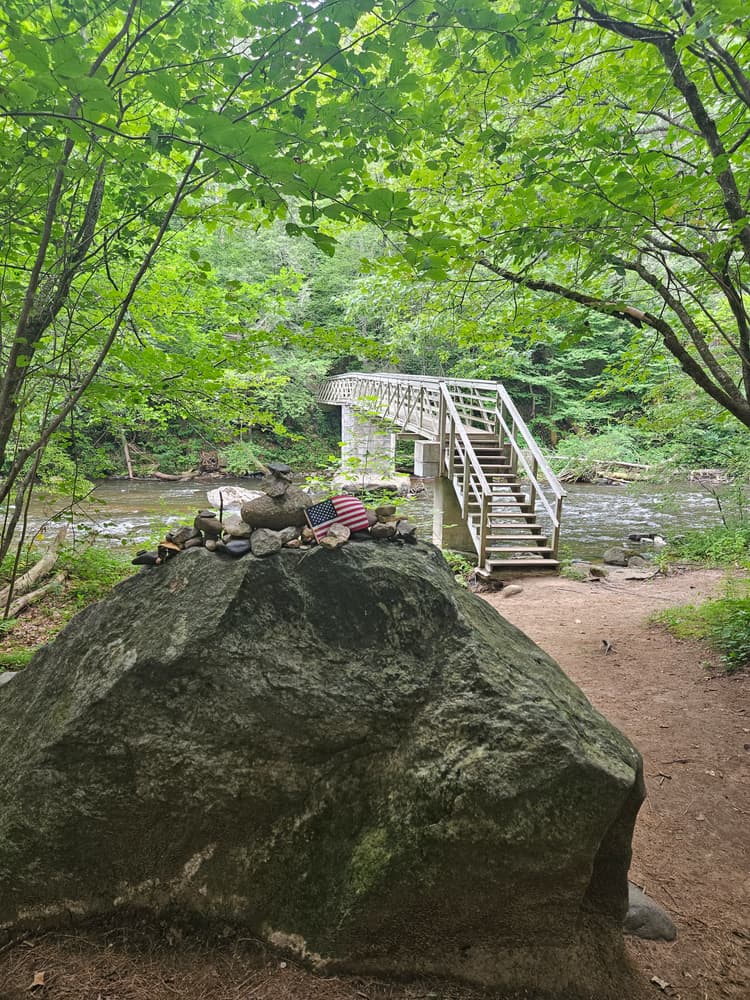
Hidden Valley Preserve is a 940-acre mixed forest and meadow property that lies northeast of Washington Depot. It offers trails with a variety of terrain, from wooded hillsides down to the Shepaug River valley.
The trail system includes two scenic viewpoints: the Lookout and the Pinnacle. The Lookout is a semi-circular terrace providing an overlook of the valley to the west, constructed as part of the original carriage roads built by Adrian Van Sinderen, accessed from the 3.5-mile Van Sinderen Loop. Some parts of the Lookout are shaded by trees, making this a recommended picnic spot. The Pinnacle can be accessed from the 2.25-mile Pinnacle Trail near its intersection with the Van Sinderen Loop. This viewpoint sits on the mountain's 820-foot summit and offers a 270-degree panoramoic view of the valley, including one of Washington’s Historic Districts and the ridge of Macricostas Preserve.
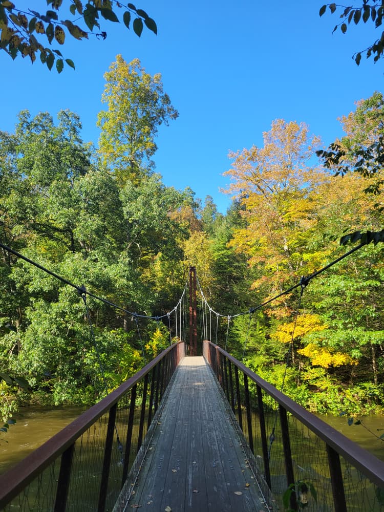
Several other notable features can be found in this trail network, including a historic quartz mine, a suspension footbridge, and a pollinator meadow. The Quartz Mine can be reached from the Van Sinderen Loop. The mine was active from the 1800s until 1915 as a part of a small local industry. The Thoreau Bridge, a cable stayed, mass timber suspension bridge spanning 134 feet across the Shepaug River, is accessed near the main parking areas on the President's Trail and Bee Brook Loop. Quotes from Thoreau’s writings, inscribed by water jet, appear on the bridge’s steel handrails and on a bench at the cliff base on the President's Trail. The Bronson Fields Pollinator Meadow can be found on the Bronson Fields Trail. Formerly a corn field, the 3-acre plot is now a self-sustaining meadow of native wildflowers and grasses after a multi-year habitat creation project starting in 2018.
During the 1920’s, Jean and Adrian van Sinderen Sr. bought 650 acres of hills, meadows and rocky peaks along the Shepaug River and named it Hidden Valley. The couple, passionate equestrians and carriage drivers, created an intricate network of paths through the property for trail riding. In 1963, the van Sinderens donated the entire property to Steep Rock Association, thereby establishing the land trust’s second largest nature preserve. Today, visitors and hikers enjoy more than 940 acres of conserved land.
The quartz mined here was used as a filler in paint and as an abrasive and was initially transported from here to the Hudson River by wagon and, later, by train. Quartz normally forms beautiful hexagonal crystals, but the mineral developed at Hidden Valley Preserve as a massive white vein.
The Thoreau Bridge was designed by Gray Organschi Architecture in New Haven. It was funded by The Gould Family Foundation, a grant from the State of Connecticut, as well as individual donors. The bridge design is a product of the collaborations with wetland soil and wildlife biologists and introduces innovative and sustainable construction techniques for sensitive ecological areas.
The preserve is open daily from sunrise to sunset.
Please adhere to the following regulations when visiting.
In winter:
Mountain bikers:
Year-round parking is available in two parking lots on Bee Brook Road (CT-47).
Take Exit 7 for US-7/US-202. Continue onto US-202 East/US-7 North and follow for 9 miles. Then turn right onto Still River Drive and continue for 0.9 miles. Continue onto Lower Grove Street and follow for 2.3 miles. Then continue straight onto US-202 East (East Street/Poplar Street/Park Lane Road) and follow for 1.8 miles. Turn right onto CT-109 East and follow for 6 miles. Then turn left onto CT-47 North. In 1.2 miles, the two trailhead parking lots are on the right.
Take Exit 17. Continue straight onto CT-64. Follow CT-64 West for 7.6 miles. Then turn right onto US-6 East/Main Street South. Follow US-6 E for 1.7 miles and then turn left onto CT-47 North/Washington Road. Follow CT-47 N for 10.4 miles. The two trailhead parking lots are on the right.
Success! A new password has been emailed to you.