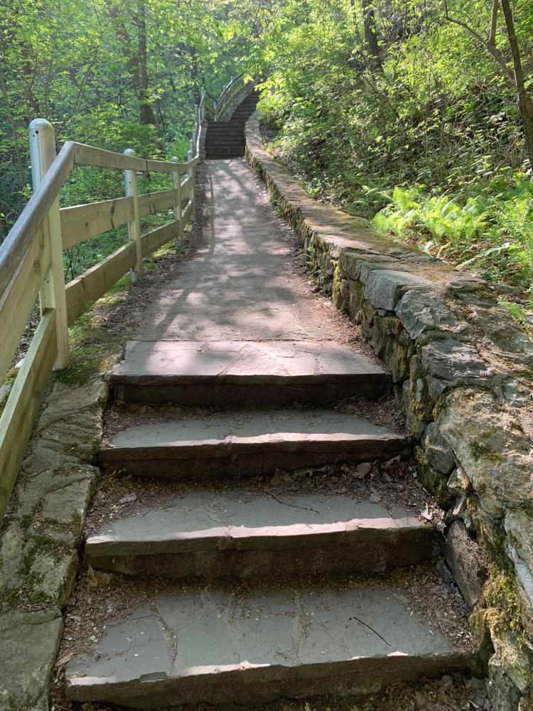
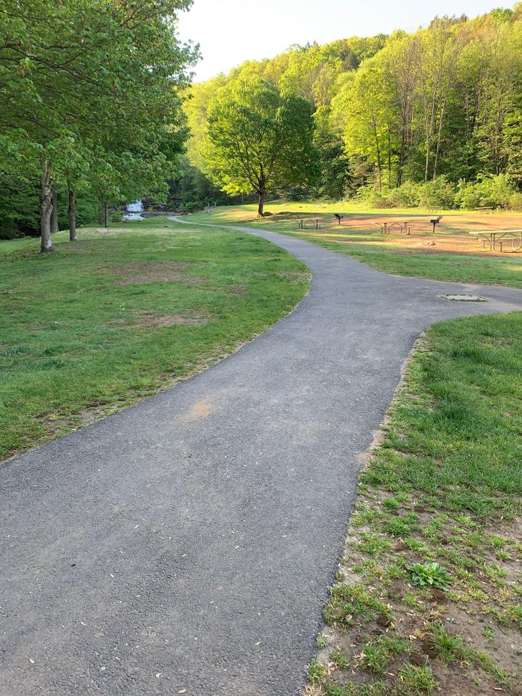
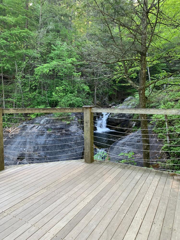
There is an accessible paved trail that leads to the base of the falls. The Kent Falls Trail, which begins at the end of the paved trail, winds up along the falls. Although not difficult to walk, it is steep with many stairs. There are many scenic vantage points that can be enjoyed along the trail. The North Ridge Trail borders the other side of Kent Falls Brook up to the top of the falls.
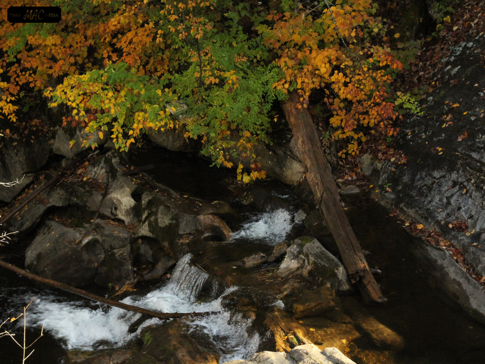
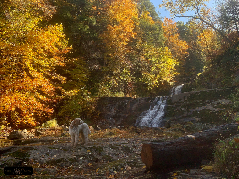
The flow in the cascade at Kent is normally heaviest in the spring when the winter snow is melting. However, the falls can be dramatic at any time of the year, particularly after substantial rainstorms. Fall foliage season is also an excellent time to enjoy the area. Because of its exceptional scenic qualities, Kent Falls has been featured in a number of magazine and television advertisements.
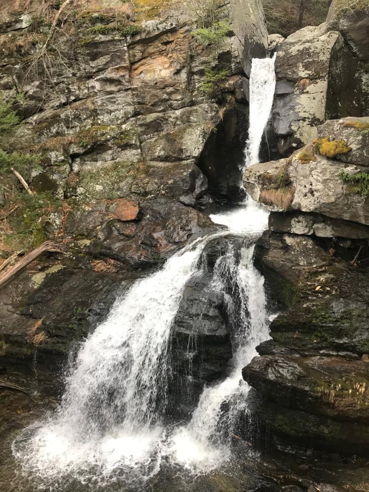
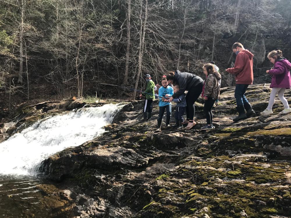
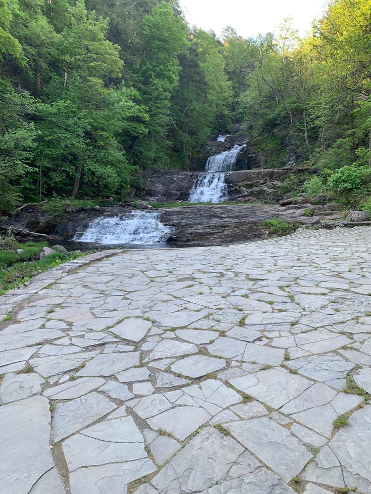
Kent Falls, located in the northeastern section of the town of Kent, is a series of waterfalls on a mountain stream known as Falls Brook. The stream begins in the town of Warren, draining an area of six or seven square miles. It then flows west to the big fall where it plunges approximately 70 feet in a dramatic cascade. From here the stream descends in a series of lesser falls and cascades to the valley, where it enters the Housatonic River some 200 feet below the brink of the big fall only a quarter mile away. Much of the limestone over which the brook flows has been carved into interesting shapes including numerous potholes of all sizes.
The Indian name of this area is "Scatacook" and there is considerable evidence that Native Americans fished and camped by the falls. Later, in colonial times, mills were also present along the brook.
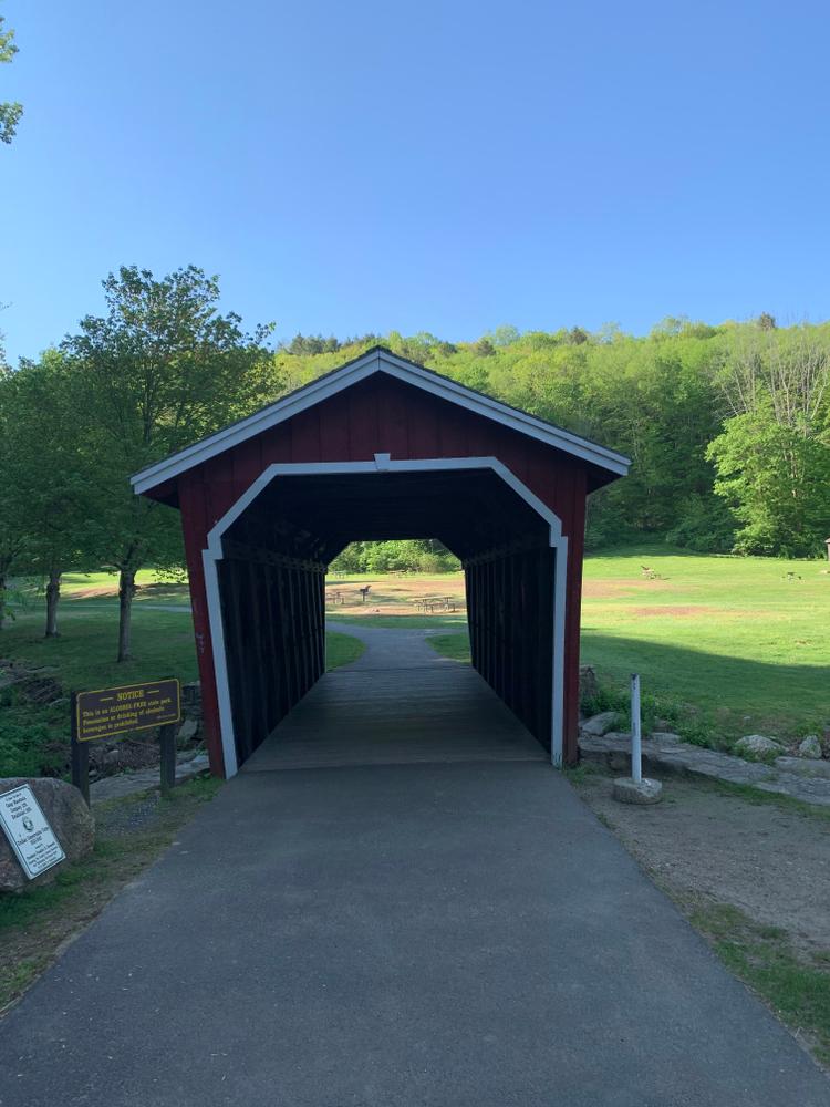
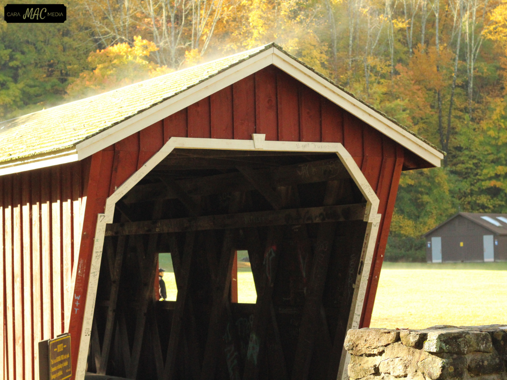
Acquisition of the park began in 1919 with the gift of 200 acres by the White Memorial Foundation. Other parcels were donated or purchased until the present 295 acres were acquired. The area was developed in the 1930's by the Civil Works Administration. In the mid nineteen-seventies, considerable trail reconstruction was done by the Youth Conservation Corps of Connecticut. The covered bridge is an authentic reproduction built in 1974 by a park employee, Edmund Palmer.
This park is managed by the following CT DEEP Park Headquarters:

Travel south on Route 7 into Kent, CT. The park is located along Route 7 approximately 3 miles south of the intersection with Route 45, and approximately 4.5 miles north of the village of Kent.
Travel north on Route 7 into Kent, CT. The park is located approximately 4.5 miles north of the village of Kent.
Travel west on I-84, take Exit 39. Continue west along Route 4 to the intersection with Route 118 in Harwinton. Drive west along Route 118 to the intersection with Route 202 in Litchfield. Turn left onto Route 202 and travel west for about 7 miles to the intersection with Route 341. Turn right onto Route 341 and travel to the intersection with Route 7 in Kent, CT. Turn right (north) onto Route 7 and the park will be located approximately 4.5 miles ahead along Route 7.
Please note: When the parking lot has reached capacity, the park is closed. It will reopen when the lot has 10 available spaces. There is no alternative parking and the park may be closed for several hours once full.
Success! A new password has been emailed to you.