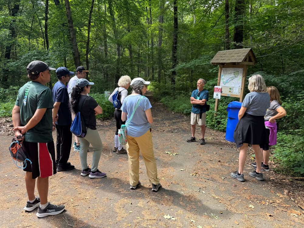
The Rocky Hill Greenway extends from the south end at the Cromwell border to the north end at Matteson Avenue and travels through Dividend Pond Trails, Bulkley Park, Surwilo Park, and Quarry Park. Sections in between parks are mainly on-road; users should take caution and watch for vehicles.
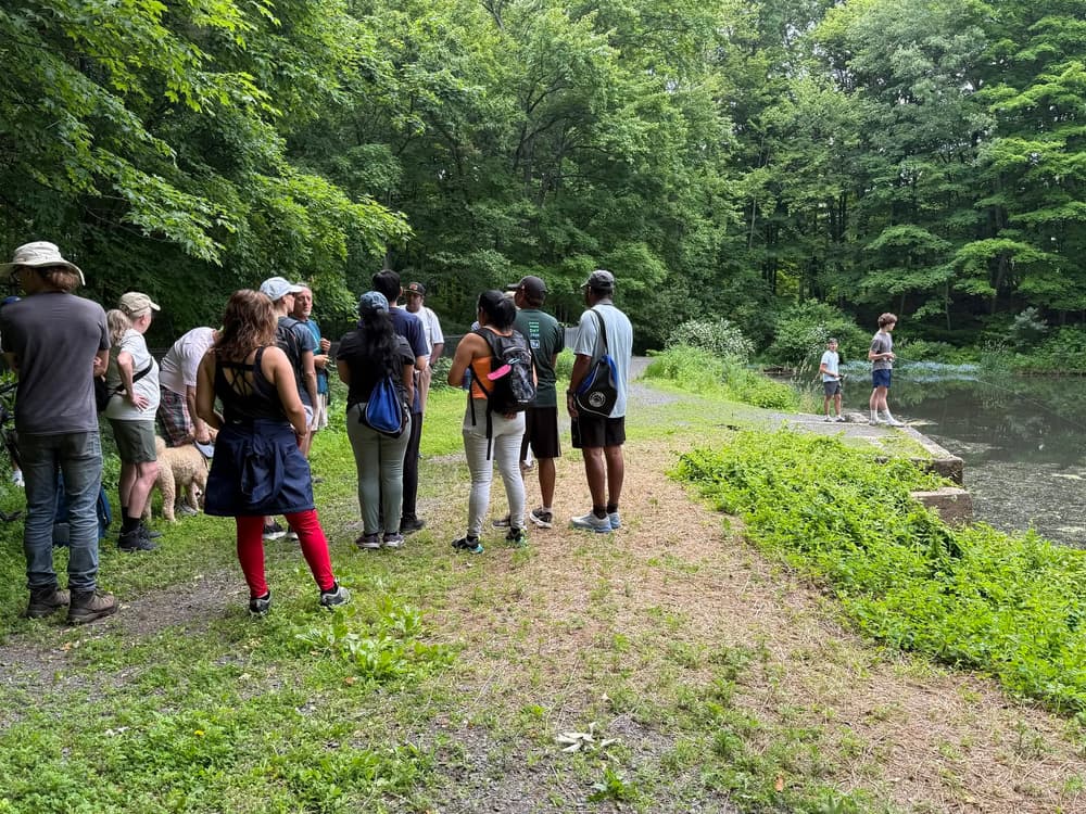
From the southern end of the greenway, the TPC Connector proceeds north to the Yellow Trail. The Yellow Trail travels through a large stand of fragrant tall pines. It connects to the White Trail. The White Trail follows the south side of the stream until it crosses north and continues by Dividend Pond, on the right.
At the end of the park, the Rocky Hill Greenway goes past Lower Pond, then takes a left on a dirt road to Dividend Road for about 0.6 miles. At Oak Hill Road, a right turn leads to Michele Drive and the entrance to Bulkley Park.
From the parking lot, the trail leads to the Fern Valley, where an outer loop trail begins. To the east, the loop runs parallel to the rail line and the Connecticut River beyond.
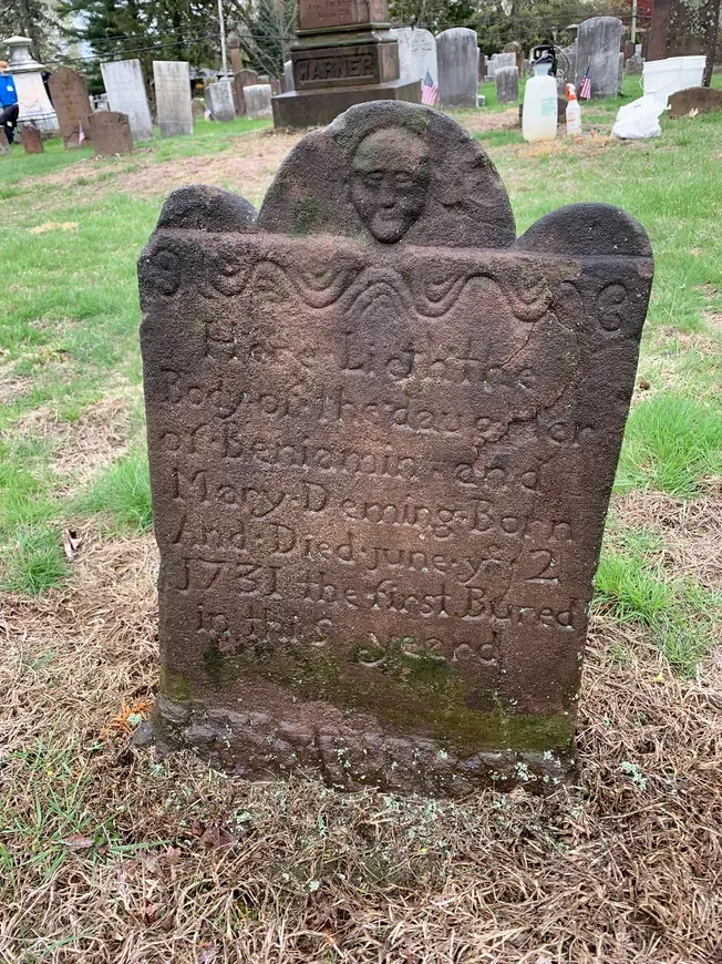
At the end of the loop, the Greenway continues back to Oak Hill Road and right on Dividend Road. Users may continue on Dividend Road for 0.35 miles and take a left into Center Cemetery, then follow the paved path to the right and around the perimeter of the cemetery before making a right onto Pratt Street. Center Cemetery is a worthwhile detour that tells the history of Rocky Hill. Find more information, photos, and useful links from the Rocky Hill Historical Society.
Alternatively, users can follow Dividend Road alone to Pratt Street and make a right. The Greenway continues for about 0.6 miles along Pratt Street. Where it meets the railroad, the trail branches.
To the right, the Greenway proceeds south along Meadow Road past the former Rocky Hill Foundry into Surwilo Park. which offers a boat launch and a grassy lawn to relax on. Surwilo Park was named after former Rocky Hill Mayor Dr. Barbara Orsini Surwilo, who opposed a I-291 highway bypass through Rocky Hill in the 1970's, preserving the town's waterfront access.
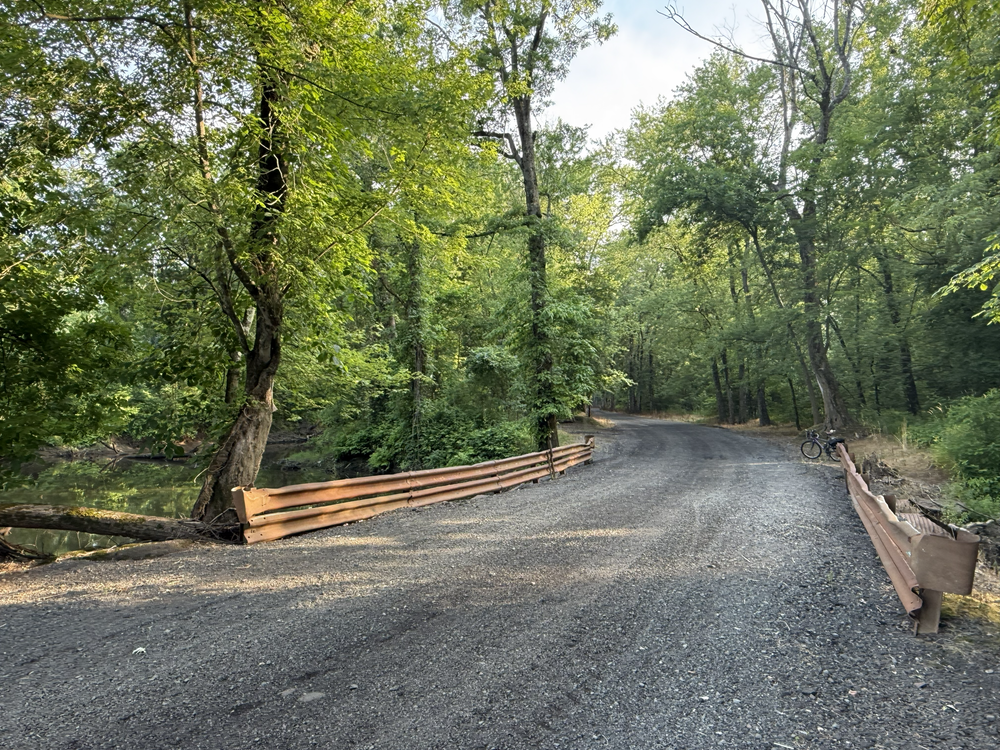
The Greenway turns around at Surwilo Park and goes back north on Meadow Road. One option is to proceed north through the intersection to Ferry Park on the right, and to Goff Brook. A renowned birding area, the wooded farm road leads directly into the Great Meadows. At the bend in the road, a culvert for Goff Brook is marked by two guardrails. Then one can head back south to the intersection and cross the railroad to the right. Making a right on Riverview Road begins the last on-road section to the north end of the Greenway. From Riverview Road, the Greenway continues right on Esther Road, then left at the sign for Quarry Park.
The Blue Trail begins at the trailhead and runs through the forest past the former Wethersfield Ski Hill, the Lookout Point, and a pond. Quarry Park showcases the traprock ridge and ruins of former quarry operations being reclaimed by nature. The Blue Trail and Rocky Hill Greenway end at the parking area off Marshall Road.
Dividend Pond Trails provides access to 10 water-powered archaeological sites from 1667 to the 1900s. Visit Rocky Hill's website for the brochure with historical details.
Tradition has it that in the late 1600s, the pirate Captain Kidd sailed up the Connecticut River and went ashore on a small peninsula jutting out into the river, later called Tryon’s Landing. He selected a hillside and buried two chests of gold, silver and jewels. “Tryon’s Landing” is on the river adjacent to the eastern border of park, it is not marked today. Visit Rocky Hill's website for the brochure with more historical details.
Check out Rocky Hill Historical Society's video for more history on Surwilo Park and Dr. Barbara Orsini Surwilo.
Pre-historic artifacts uncovered from the Lone Pine Site in the Quarry show that Native Americans lived on this land around 8,000 years ago. During the Colonial era, this rocky hill was a landmark for sailors navigating the Connecticut River. The quarry was active from the late 1800's to the middle of the past century. In 1948 the Wethersfield Ski Club used the northern most hill in the Quarry for skiing. The remains of the 1936 Buick which powered the rope tow rests as a reminder on top of the hill. In 1991, the Rocky Hill Neighborhood Association successfully defeated a proposed development which led to the purchase of 84 acres by the town and state for a State Park under the Recreation and Natural Heritage Act. The property is state-owned and town-managed. More details on the Rocky Hill Historical Society website.
Parking is available at the north (Quarry Park) and south (Dividend Pond) ends, as well as at three parks near the halfway point: Ferry Park, Surwilo Park, and Bulkley Park.
Take Exit 25S to merge onto CT-3 South toward Wethersfield. Follow CT-3 for 0.6 miles. Turn left onto Middletown Avenue and follow for 1.1 miles. Continue straight onto Old Main Street. Follow for half a mile to the parking lot for Quarry Park, on the left.
Take Exit 24 to merge onto CT-99 South. Follow CT-99 South for 3.9 miles. Turn left onto Golf Club Road. Continue for 0.4 miles. Then turn left to stay on Golf Club Road. In 0.3 miles, turn left. Drive for another 0.3 miles and cross Travelers Championship Drive into the parking lot.
Take Exit 24 for CT-99 South toward Rocky Hill. Turn left onto CT-99 South, then left onto Marshall Road. Follow for 0.4 miles. At the intersection with Old Main Street, drive straight into the parking lot.
Take Exit 23 for West Street toward CT-3/Rocky Hill. Turn right onto West Street, then right onto Capital Boulevard. In half a mile, turn right onto Henkel Way, then left onto Brook Street. Follow for 0.9 miles and turn right onto CT-99 South/Main Street. In 1.1 miles, turn left onto Golf Club Road. Continue for 0.4 miles. Then turn left to stay on Golf Club Road. In 0.3 miles, turn left. Drive for another 0.3 miles and cross Travelers Championship Drive into the parking lot.
Success! A new password has been emailed to you.