Over 1000 miles of trail available to explore, and more added each day!

Schoolhouse Brook Park

Schoolhouse Brook Park is the largest town-owned park with miles of trails, a universal access trail around the town's swimming hole, Bicentennial Pond, a picnic pavilion, play scape, and more.
Trail Activity
Accessible Experience Hiking Walking
Length
8.5 miles, Network
Difficulty
Moderate, Advanced
Town
Mansfield
Surface
Packed Earth/Dirt, Gravel/Crushed Stone, Rock/Ledge, Boardwalk, Paved/Cement
Pets
Permitted on leash
Fees
No

Description

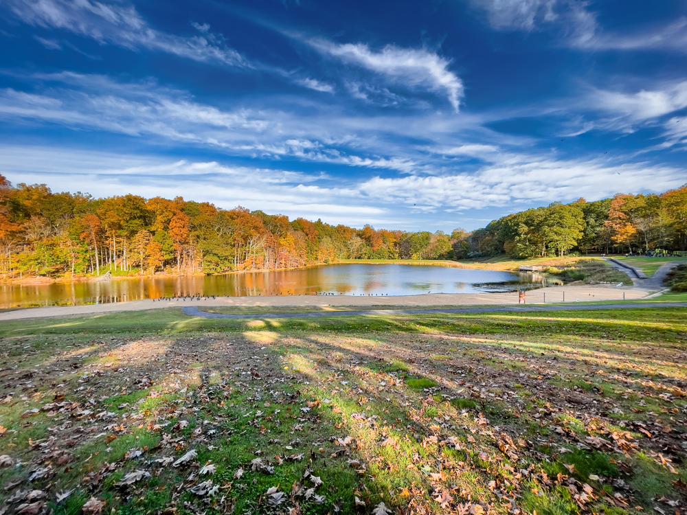
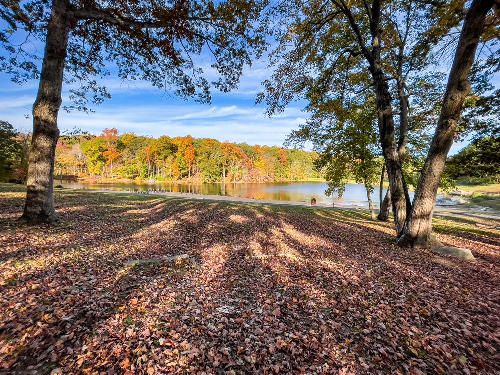
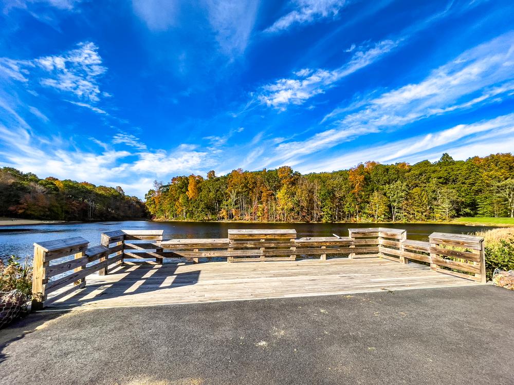
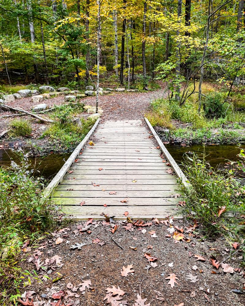
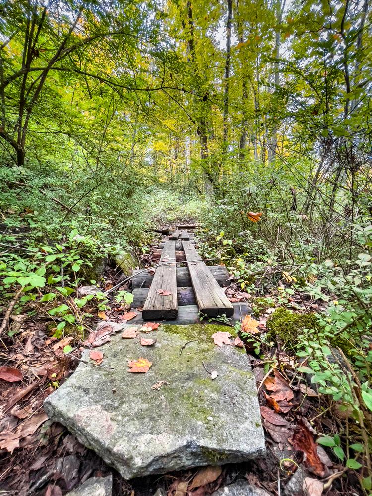
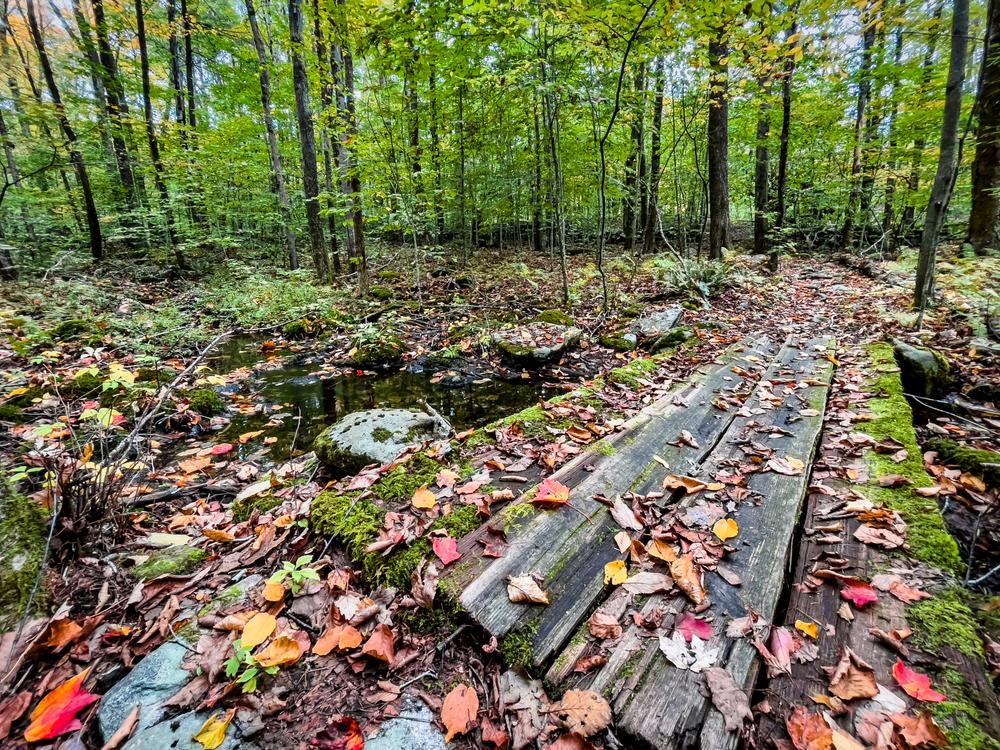
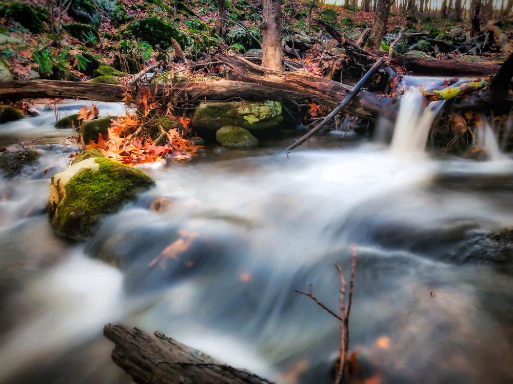
Schoolhouse Brook Park was established in 1957 when Mansfield purchased the first 100 acres of the park from a local farmer. Since then, the town has added parcels to the park to reach its present size of 455 acres. The park is mostly wooded and contains Bicentennial Pond, Barrows Pond, and Schoolhouse Brook. Over 8.5 miles of trails (including Nipmuck Trail) wind through diverse habitats and historic and cultural features.

Other Information

Accessible Trail

The trail is partially accessible. A 0.7-mile universal access trail around Bicentennial Pond. It is made of Stonedust and has a 6-foot width. To get more information visit their website.

DOS & DON'TS
GENERAL RULES
  • Enjoy our parks from dawn to dusk
  • Mountain biking only permitted on designated trails within Schoolhouse Brook Park
  • Swimming only at Bicentennial Pond
DO
  • Keep your pets on a leash and clean up after them
  • Respect private property rights
  • Stay on the trails. Pack out what you pack in
DON'T
  • Consume alcohol  
  • Light fires 
  • Hunt 
  • Ride horses 
  • Use motorized vehicles 
  • Remove plants
  • Litter

For more information, see Mansfield’s Parks Rules and Regulations.

Trail Manager

For more information, visit the Town of Mansfield's website or contact:

Town of Mansfield
Town of Mansfield
4 South Eagleville Road, Storrs-Mansfield, CT
860-429-3335
View website

Trail Tips

Plan Ahead and Prepare
Be prepared to find your way home. Familiarize yourself with the area before you set out and bring your map and compass along.
Legend
Hide All

Trailhead Information

From the intersection of Route 275 and Route 195, head south on Route 195 for 2.5-miles. Turn right onto Clover Mill Road. Go 0.1-mile and turn right onto Clover Mill Road. Go 0.5-miles; parking is on right.

Click on a parking icon to get custom directions
Please Log In or Create Account to add comments.
SHARE THIS TRAIL
PRINT THIS TRAIL

Add Trail Log

Please wait…
Join In on the Fun!
Log in or create an account below to unlock all the great features of Connecticut Trail Finder: keep track of trails you want to do, preserve memories of trails you’ve done, and more!
Your log in attempt was not successful. Please try again.
    Lost your password? Reset your password
    Don't yet have an account?
    There was an issue with your submission. Please try again.
      * Indicates required field
      Already have an account? Login here
      Enter your username, and we will send you a new, randomly generated password to your email account.
      There was an issue with your submission. Please try again.

        Success! A new password has been emailed to you.

        Log in now

        Please wait…