Trailside Services are now part of CT Trail Finder!

Nipmuck Trail

The blue-blazed Nipmuck Trail extends from Mansfield north to the Massachusetts border.
Trail Activity
Hiking
Length
61.8 miles, One Way
Difficulty
Easy, Moderate
Towns
Union, Ashford, Willington, Mansfield
Surface
Packed Earth/Dirt, Rock/Ledge
Pets
Permitted on leash
Fees
No

Description

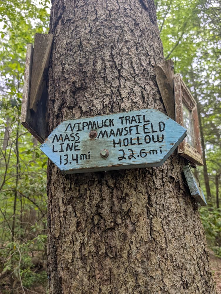
The Nipmuck Trail extends from Mansfield north to the Massachusetts border. It is shaped roughly like an upside-down fork and has two southern branches: the West Branch starts on Puddin’ Lane in Mansfield; the East Branch starts in Mansfield Hollow State Park in North Windham. The northern terminus of the Nipmuck Trail is in the beautiful Bigelow Hollow State Park.

The trail crosses through a number of recreation and conservation areas including Sawmill Preserve, Mansfield Hollow State Park, the Natchaug and Nipmuck State Forests, Schoolhouse Brook Park, the Yale Forest, Bigelow Hollow State Park, and other lands owned by towns and land conservation trusts, most notably Joshua’s Trust.

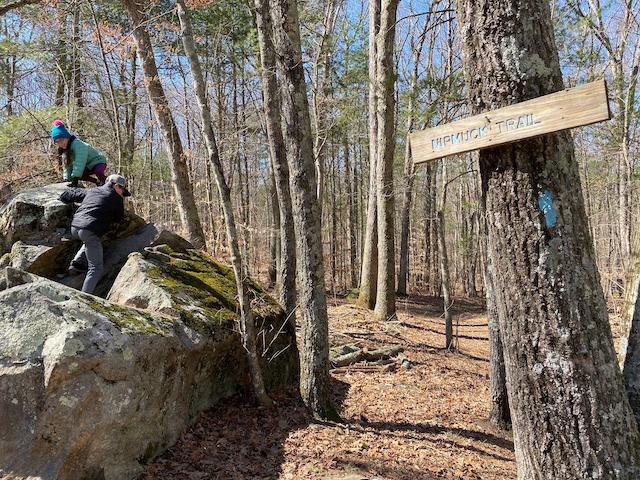
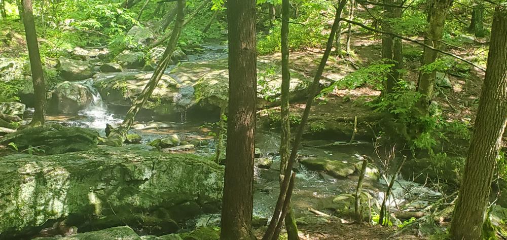
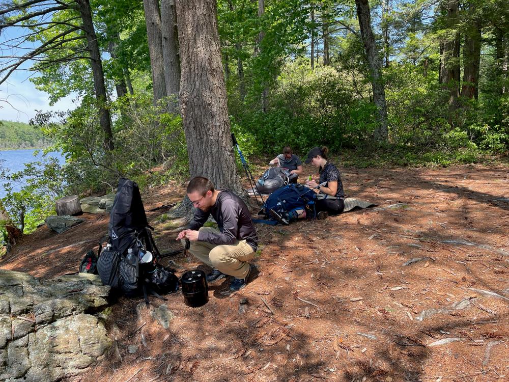
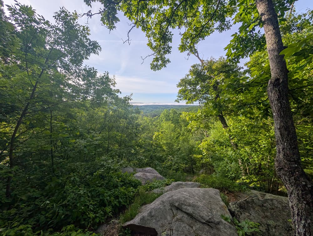
Highlights on the trail include Wolf Rock (an enormous glacial erratic), lookout over Mansfield Hollow Lake, 50’ Cliff, Pixie Falls, Ladies Room Rock, Coye Hill (highest point on the Nipmuck Trail), and the Fenton and Mount Hope rivers. The Nipmuck Trail crosses open field, follows along ridges and woods roads, and provides a continuous spine to which numerous other trail systems connect.

In Bigelow Hollow State Park, five additional trails (along with the Nipmuck Trail) are maintained by the Connecticut Forest and Park Association (CFPA) & the Connecticut Department of Energy and Environmental Protection (CT DEEP), totaling approximately 20 miles.

Other Information

Notice a trail problem? Report it to CFPA.

Visit the CT DEEP website for more information on trails and access to Bigelow Hollow State Park and Mansfield Hollow State Park.

Trail Manager

Connecticut Forest & Park Association (CFPA)
16 Meriden Road
Rockfall, CT 06481
860-346-8733
View website

Trail Tips

Respect Wildlife
Avoid known animal mating or nesting areas during sensitive times.
Legend
Hide All

Trailhead Information

Southern Trailheads:
  • Puddin Lane
  • Mansfield Hollow State Park
 
Northern trailhead: 
  • Bigelow Hollow State Park
There are many additional parking options along the trail route.
Click on a parking icon to get custom directions
Please Log In or Create Account to add comments.
Add a Service
Find businesses and organizations that are located around this trail that support adventuring outdoors!
Legend
Hide All
Hide All
No services shown. Try zooming out.
Hang Tight!
Nearby services are loading
SHARE THIS TRAIL
PRINT THIS TRAIL

Add Trail Log

Please wait…
Join In on the Fun!
Log in or create an account below to unlock all the great features of Connecticut Trail Finder: keep track of trails you want to do, preserve memories of trails you’ve done, and more!
Your log in attempt was not successful. Please try again.
    Lost your password? Reset your password
    Don't yet have an account?
    There was an issue with your submission. Please try again.
      * Indicates required field
      Already have an account? Login here
      Enter your username, and we will send you a new, randomly generated password to your email account.
      There was an issue with your submission. Please try again.

        Success! A new password has been emailed to you.

        Log in now

        Please wait…