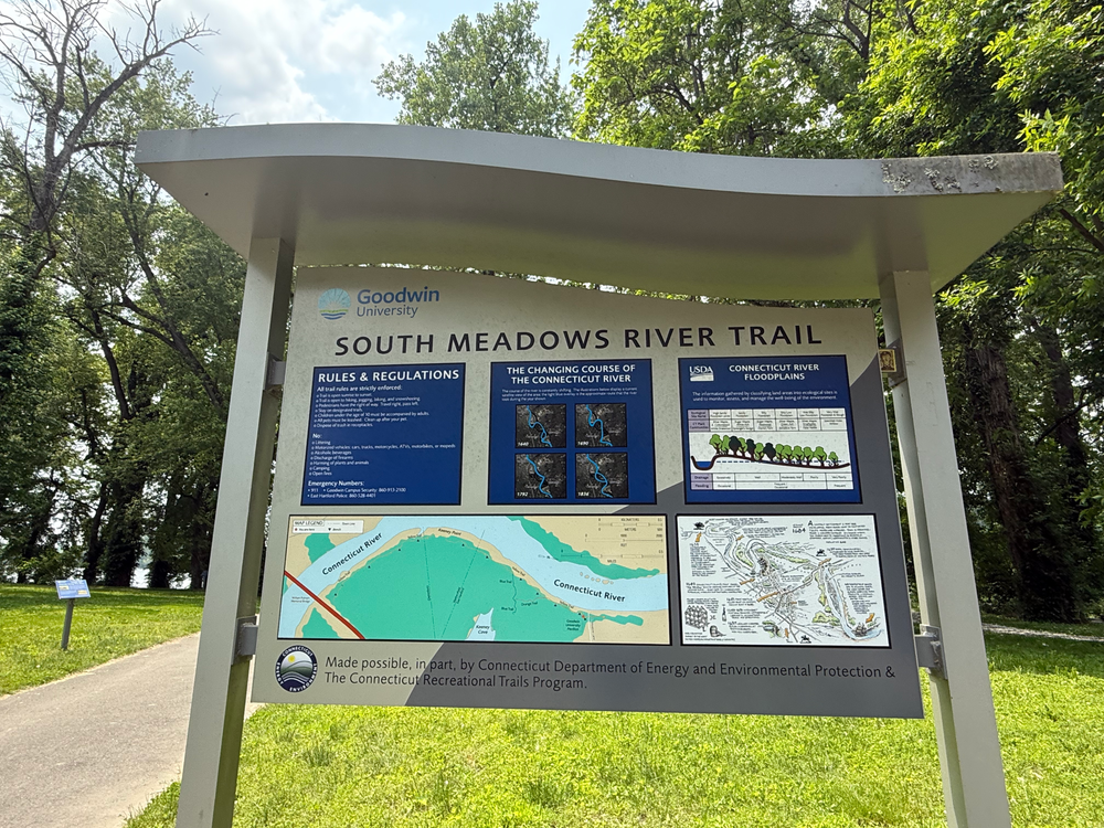
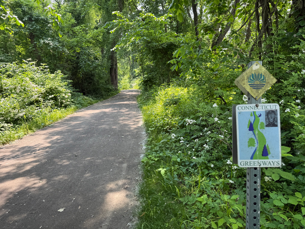
The South Meadows Greenway River Trail extends from Goodwin University's Environmental field lab south for 2 miles to the Putnam Bridge in Glastonbury. The trail is part of a larger network and provides a mix of paved and natural surfaces, making it suitable for walking, running, and biking. The trail is designed to enhance environmental education and recreation with opportunities for observing local wildlife and enjoying river views.
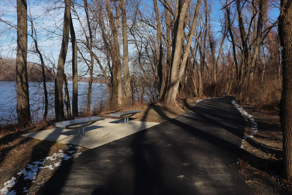
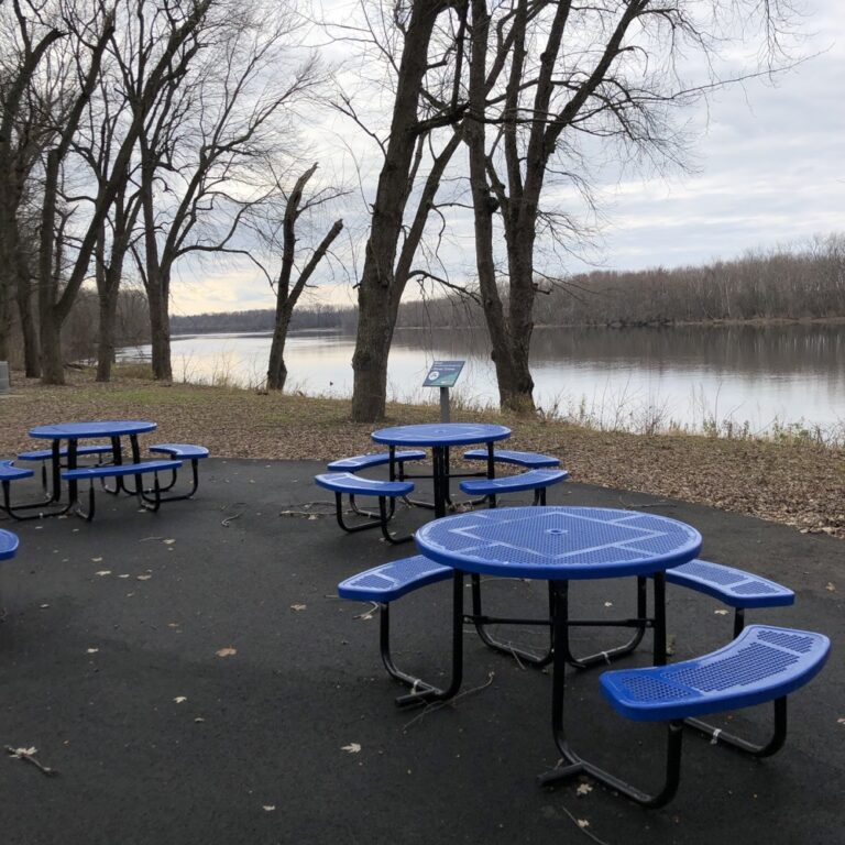
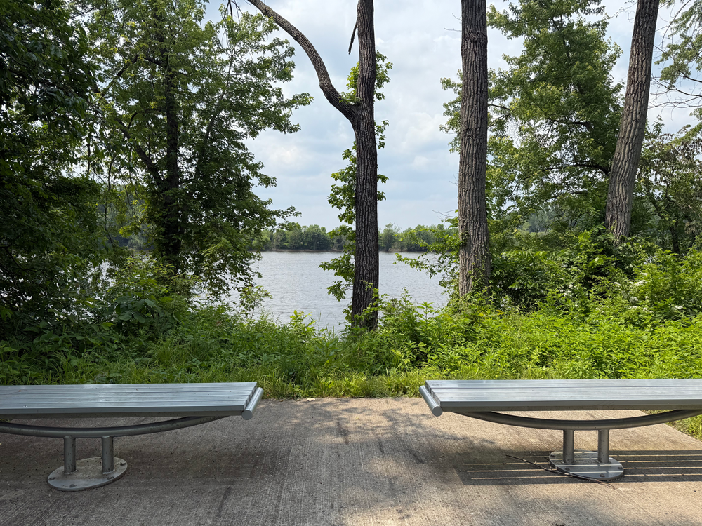
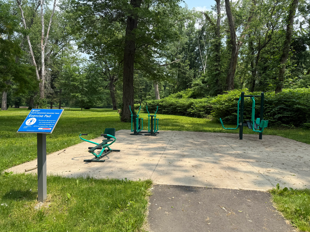
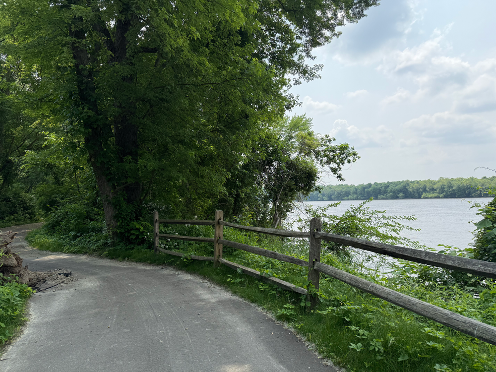
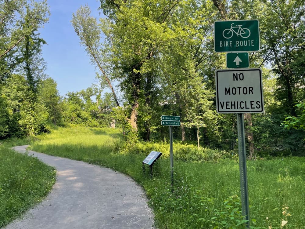
South Meadows Greenway River Trail is accessible with designated accessible parking and signage. From the north, the trail follows the Connecticut River south with picnic tables and an exercise area along the way. Informational signs, map boards, and benches are located along the trail. The paved trail splits after 0.2 miles. Heading left (east), the paved Inland Trail winds through the woods and connects westwards back to the South Meadows River Trail after 0.3 miles. Alternatively, the main trail proceeds straight (south) alongside the river and reconnects with the the Inland Trail at 0.4 miles.
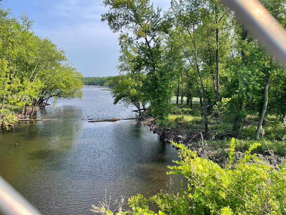
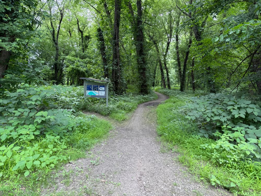
The paved section ends just shy of 0.7 miles at the Wethersfield town line. Here the trail is hard packed dirt and grass. Phase 5 of the Greenway project will pave the trail southwards from the Wethersfield town line to Glastonbury. Several benches overlook Keeney Cove Marsh. The trail crosses the Glastonbury town line at 1 mile, where the trail gets a bit sandy and rutty and is not recommended after heavy rains. At 1.5 miles a bridge connects to another map board and benches. The south end of the South Meadows Trail features another kiosk where it reaches a paved trail that connects up to the Putnam Bridge Bike Path along Route 3, with the options to either take a turn and cross the river to Wethersfield or continue straight ahead past Keeney Cove to Naubuc Avenue in Glastonbury.
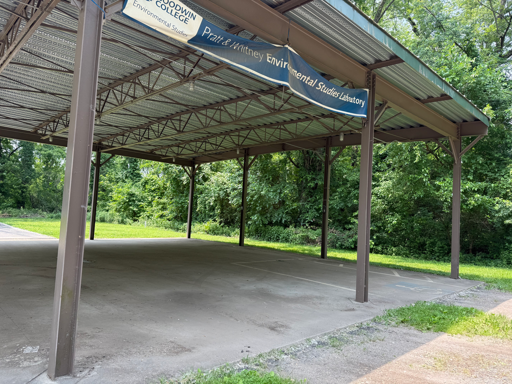
From I-84, take Exit 55 to Route 2S. Take Exit 5A to High Street and turn right. Travel 0.3 miles and turn right on South Meadow Lane. If the gate is open, continue on the gravel road to access a parking area included a covered parking area. If the gate is closed, park in the off-road spots at the start of South Meadow Lane and walk down the gravel road 0.3 miles to start the trail.
From I-91N, take Exit 25/26 and keep left for Exit 25 towards Glastonbury/Route 3N. From I-91S, take Exit 25N to merge onto CT-3 N towards Glastonbury.
After crossing the Connecticut River on Route 3, take Exit 13A towards Main Street/Glastonbury and turn right onto Glastonbury Boulevard. At the second light, turn right onto Naubuc Avenue. Just before the underpass, the parking lot is on the right.
From Route 2W, take Exit 5A to High Street and turn right. Follow High Street for 0.7 miles, then turn right onto Naubuc Avenue. Just past the underpass for Route 3, the parking lot is on the left.
Success! A new password has been emailed to you.