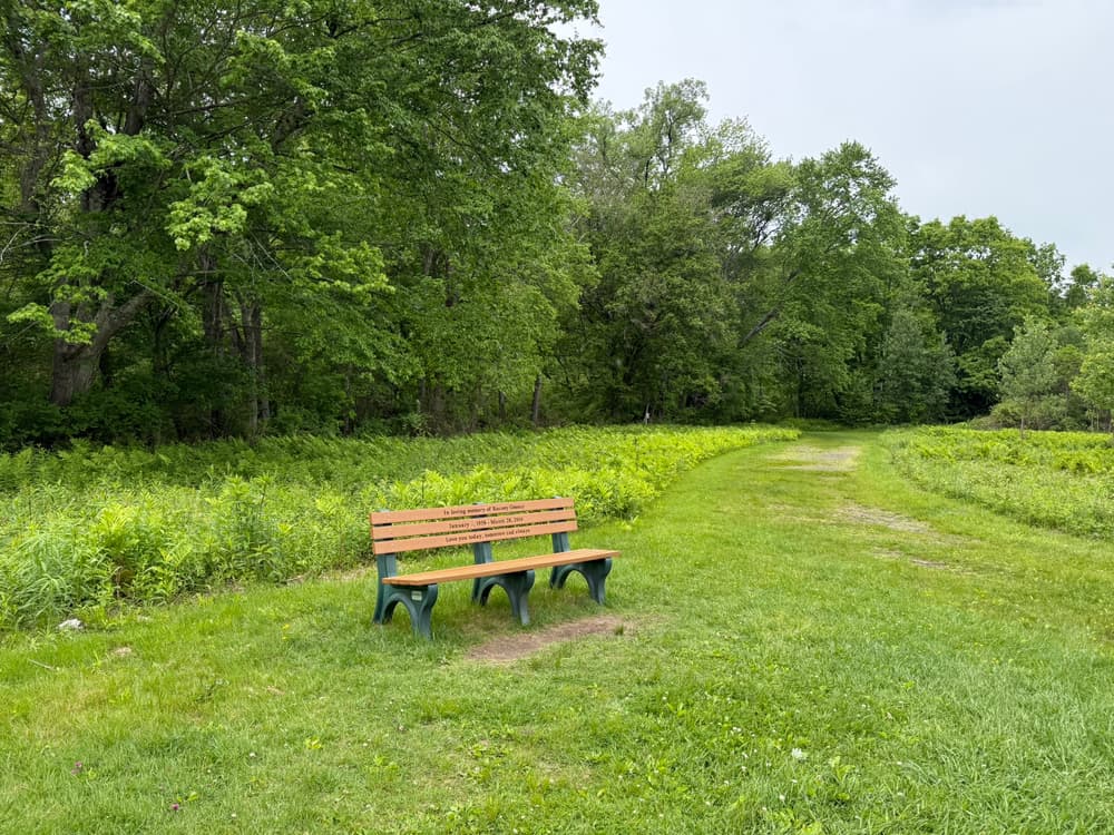
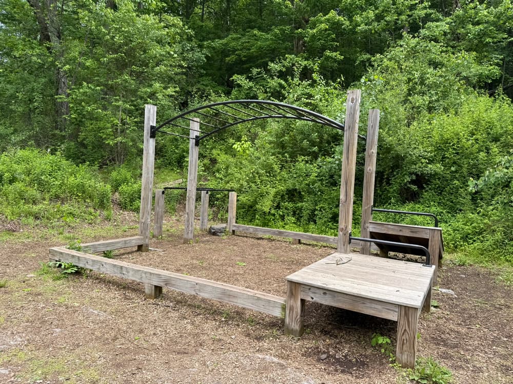
Terrain through woods is uneven, and flat in the fields, along the brook, and on the Hop River State Park Trail. Below are descriptions of popular trail routes through the property. For more detail, see the trail map created by Vernon Greenways Volunteers.
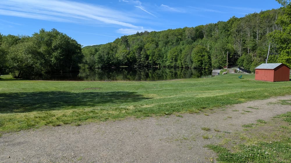
This is a 3.8 mile blue/yellow blazed loop with some hilly terrain. From parking lot on Valley Falls Road, hikers can make a loop that includes sections of the blue-blazed Shenipsit Trail and the Hop River State Park Trail. Views include pond, brooks, bridges over spillways, soccer fields, and Valley Falls Park facilities. This loop also includes a rock scramble in the section near the Boulder Crest soccer field.
This red-blazed trail is 1.6 miles roundtrip. From parking on Valley Falls Road, the trail travels south past the pond and then Valley Falls Park, and connects to the Valley Falls Loop Trail.
This loop is about 0.6 miles. From the parking on Valley Falls Road, it travels partially on the blue-blazed Shenipsit Trail and loops around the pond. While on the Pond Loop Trail south of the pond, trail blazes are orange.
Two loops, an inner yellow-blazed loop of 0.4 miles and an outer orange-blazed loop of 0.9 miles, start from the Boulder Crest Lane parking west of the trail system.
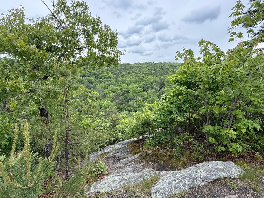
This unmarked trail is about 1.5 miles roundtrip and begins from the Valley Falls Loop Trail west of the Hop River State Park Trail. It consists of rock ledges and views of Valley Falls Park.
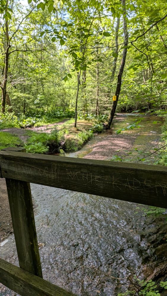
This yellow-blazed 2-mile roundtrip trail starts from Valley Falls Road parking. It passes the pond on the Shenipsit Trail and then crosses several footbridges over streams. It can be hiked alone or used to connect to the Hop River State Park Trail and/or the Valley Falls Loop Trail for longer loop hikes.
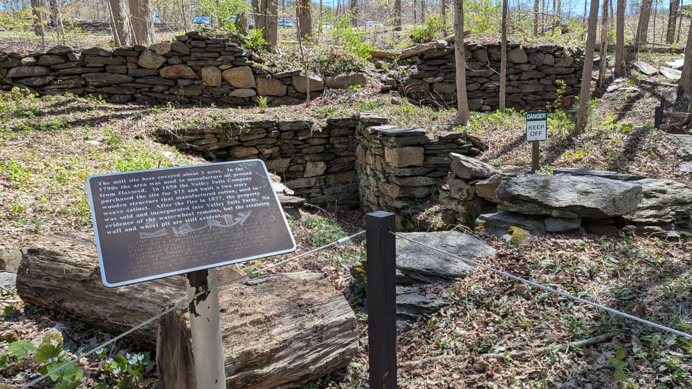
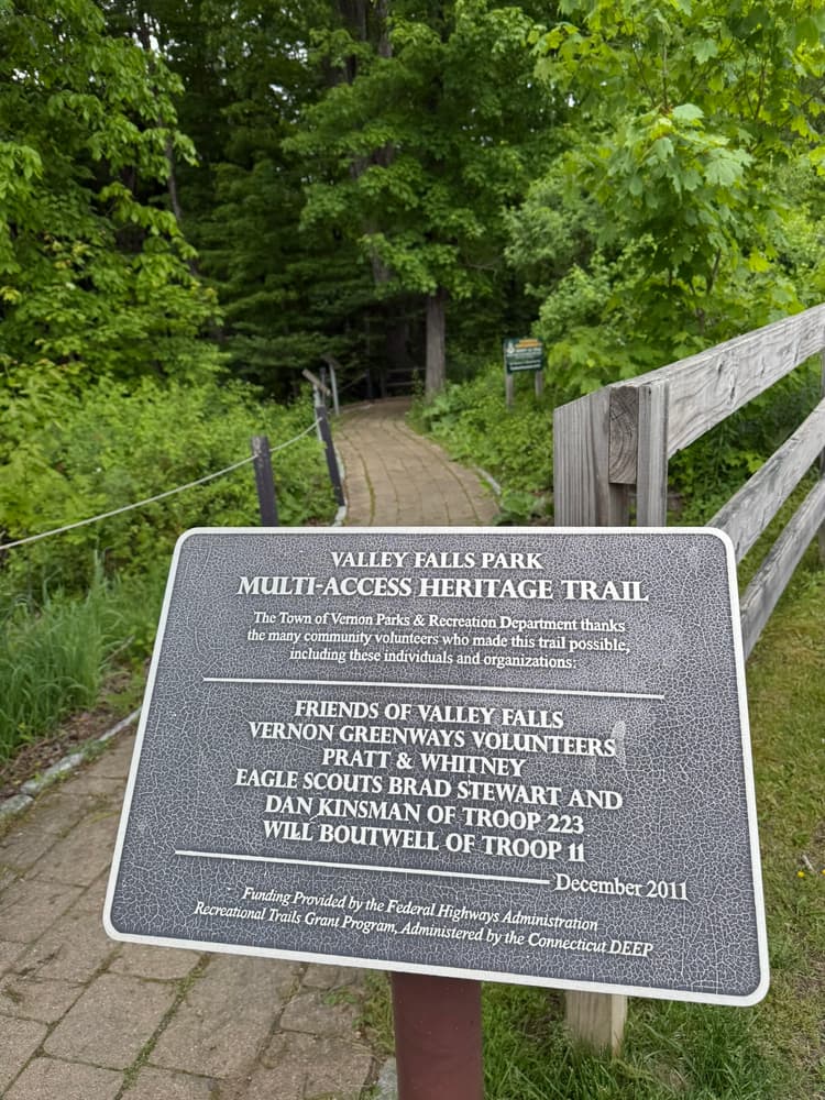
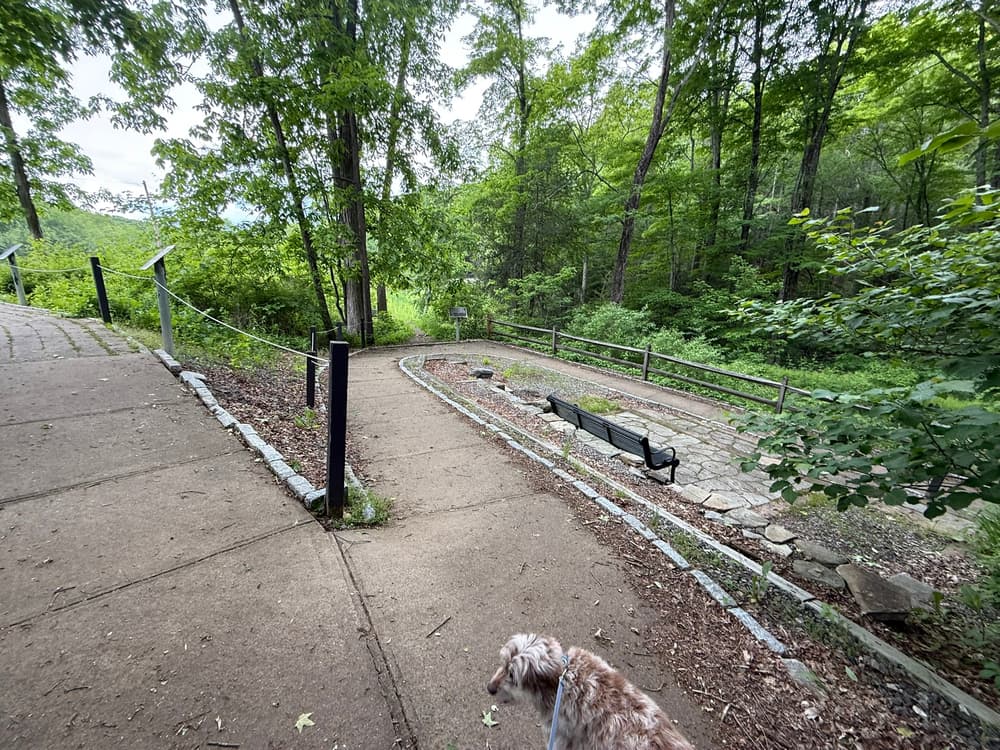
This small lollipop-style loop trail marked with 1,100 feet of guide rope can be accessed by traveling west from the Railroad Brook Trail (yellow blazes). The loop should be traveled counter-clockwise. The trail loops around the site of an 18th and 19th century mill site where remnants of the mill's stone wall and a waterwheel pit still remain. Braille signs tell the history at different points around the loop. Details can be found on Vernon's All Trails Brochure on page 16.
Trail users have reported a rock scramble on the Valley Falls Loop Trail. A rock scramble is a section of trail with rocks or boulders that often requires the use of both arms and legs, but not rock-climbing gear, to navigate. Earn the Scrambled! rock scramble badge!
General:
Dog Owners:
Cross-country skiers
Take Hartford Turnpike/CT-30 to Tunnel Road/CT-533. Follow Tunnel Road for 0.9 miles and turn left onto Valley Falls Road. Continue for 1.2 miles and turn right at the Valley Falls Park sign. Follow the park road to the paved parking lot.
Take Exit 66 and navigate to Bolton Road (from I-84 E, turn left on South Frontage Road and then right on Bolton Road; from I-84 W, turn right onto Ferguson Road and then right onto Bolton Road). Follow Bolton Road south for 1.6 miles. Turn right onto Valley Falls Road. In 0.2 miles, turn left at the Valley Falls Park sign. Follow the park road to the paved parking lot.
On-road parking is also available on Bouldercrest Lane west of the trail system, in the cul-de-sac at the end of the road.

Success! A new password has been emailed to you.