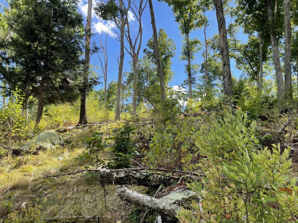
The Spring Hill Tract is a core parcel of the UConn Forest, which is a multi-use teaching, research, and extension resource managed and coordinated by the Department of Natural Resources and Environment at the University of Connecticut. This 187-acre property lies south of Storrs between Chaffeeville Road and Route 195 and abuts Army Corps of Engineers flood control land to the east (which in turn bounds the Mansfield Hollow State Park and Reservoir) and the Town of Mansfield’s Fifty Foot Cliff Preserve to the north. The tract is dominated by timber sized, second growth deciduous trees in the 80 to 100-year age class. The parcel contains intermittent streams, vernal pools and other wetland areas. The forest is used for teaching, research, and demonstration of sustainable forest management by UConn Forestry. There is a very active unsanctioned mountain bike trail network established in the forest.
A ~0.5 mile section of the Nipmuck Trail a Connecticut Forest and Park Association (CFPA) blue-blazed trail (foot traffic only) runs between Chaffeeville Road and the Town of Mansfield’s Fifty Foot Cliff Preserve. The trail starts from a small parking area and runs through a hemlock forest before ascending into a beech dominated forest below Fifty Foot Cliff. The section leading up the slope is very rocky and can be difficult footing. The trail leads to the overlook at Fifty Foot Cliff which has a view of the Fenton River Valley to the south. The trail is moderate-high difficulty.
This ~0.9 mile trail branches south off of the Nipmuck Trail soon after it leaves Chaffeeville Road and runs around the perimeter of the property. It crosses through areas of recent forest management designed to promote oak regeneration, an open agricultural area used in teaching by E.O. Smith High School, and passes by a very large old-field American beech tree which lends the trail its name. The trail ends at the Town of Mansfield Fifty Foot Cliff Preserve where it connects back to the Nipmuck Trail.
From Route 44, take Codfish Falls Road south for 1.8 miles. Turn left onto Gurleyville Road and then take a quick right onto Chaffeeville Road. Continue for 2.1 miles and the trailhead will be on the right.
Take Route 32 to Willimantic and head north on South Street which becomes Jackson Street after crossing the bridge. Continue on Jackson Street/CT-195 for about 4.4 miles and turn right onto Chaffeeville Road. The trailhead is on the left about about 1.3 miles.
Success! A new password has been emailed to you.