Over 1000 miles of trail available to explore, and more added each day!

Cockaponset State Forest (Central Section)

Connecticut's second largest state forest provides opportunities for a variety of outdoor activities including hiking, mountain and gravel biking, and equestrian trail use and swimming. 
Trail Activity
Hiking Walking Cross-country skiing Mountain biking Horseback riding
Length
25.8 miles, Network
Difficulty
Moderate, Advanced
Towns
Chester, Haddam
Surface
Packed Earth/Dirt, Gravel/Crushed Stone, Paved/Cement
Pets
Permitted on leash
Fees
No

Description

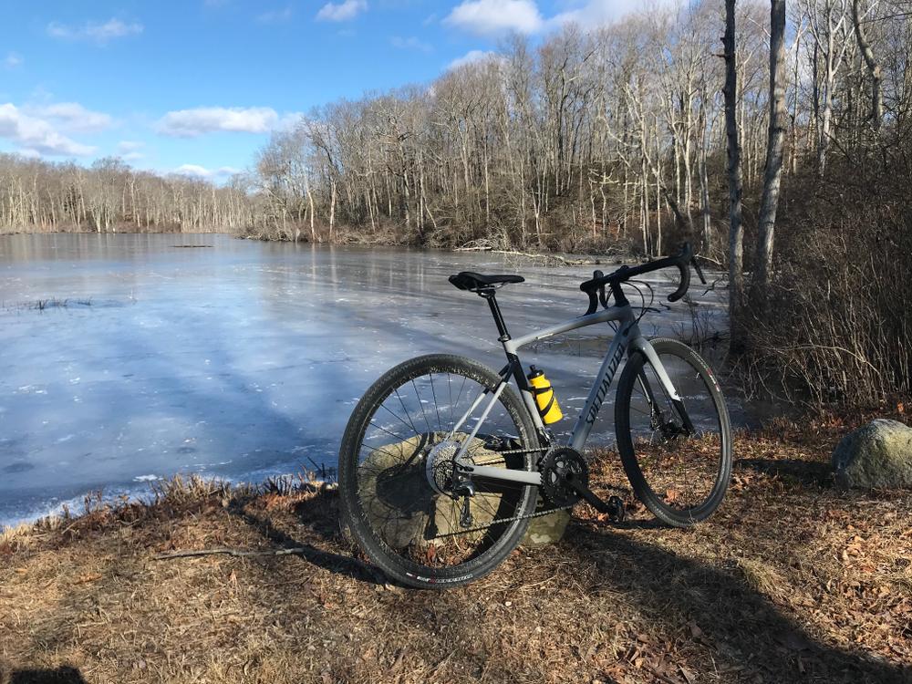
The central section of Cockaponset State Forest is located south of Route 9. This forest section features a large network of densely forested trails and gravel/dirt forest roads with several roadside parking and access points. Along the trails, several bridges and the remnants of an observation tower can be found.

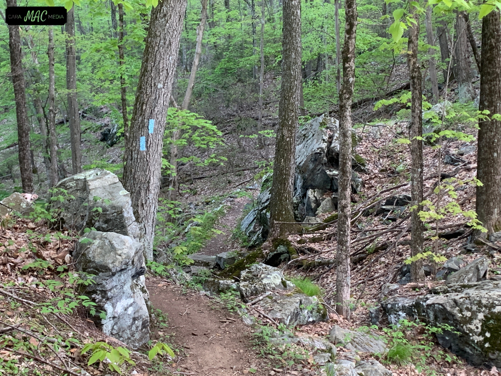
The Quinimay Trail runs through this section of the forest, connecting to the central section of Cockaponset State Forest. The complete Quinimay Trail extends from Westbrook to Higganum through the Cockaponset State Forest. This trail was officially recognized by the state of Connecticut in 2008 as a multi-use Bridle Trail. Look for the tan and green plastic multi-use markers placed above the colored trail blazes. The Quinimay Trail was conceived and is maintined by members of the Lower Connecticut River Valley Horsemen’s Club (LCRHVC), in cooperation with the Connecticut Forest & Park Association and the New England Mountain Bike Association (NEMBA). 

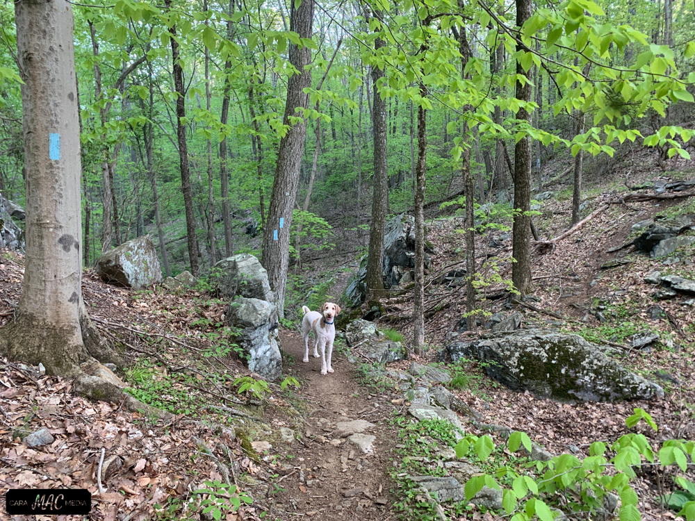
The blue-blazed Cockaponset Trail, and blue/red-blazed Wildwood trails in the central section of Cockaponset State Forest are open to foot travel only. All other trails are designated non-motorized multi-use trails and allow biking, equestrian and other non-motorized use as well as foot travel.

Overview/History

Cockaponset, named after an Indian chief who's buried in the Ponset section of Haddam, is the second largest state forest in Connecticut. The development of this area for recreational purposes allows visitors to fully enjoy the attractiveness of the land, woods, and streams within the forest.

Other Information

Park use

Hours: The forest recreation areas are open from sunrise to sunset. Other forest areas are open one-half hour before sunrise to one-half hour after sunset.

Pets: Pets on a leash are permitted in picnic areas and on hiking trails. Pets are not allowed on the beach.

Note to Swimmers:  Please read the Beach Regulations and Swimming Safety Information before entering the park.


Trail Manager

For more information, visit the CT State Parks website or contact:

CT DEEP: Cockaponset State Forest
18 Ranger Road
Haddam, CT 06438
(860) 345-8521
View website

Trail Tips

Plan Ahead and Prepare
Know your limits – it’s okay to turn back. Your home is the ultimate destination, not the summit.
Legend
Hide All

Trailhead Information

To the Pattaconk Recreation Area

From Middletown area: Take Exit 6 off Route 9 South. Turn right off the exit ramp and go west on Route 148 for approximately 2 miles. Take a right onto Cedar Lake Road and drive approximately 2 miles. Take a left at the Pattaconk Lake sign.

From Old Saybrook area: Take Exit 6 off Route 9 North. Turn left off the exit ramp and go west on Route 148 for approximately 2 miles. Take a right onto Cedar Lake Road and drive approximately 2 miles. Take a left at the Pattaconk Lake sign.

To the Ranger Headquarters

From the North: Take Exit 8 off Route 9 South. Turn left onto Beaver Meadow Road. Take the second right onto Ranger Road. The headquarters is on the left.

From the South: Take Exit 8 off Route 9 North. Turn right onto Beaver Meadow Road. Take the second right onto Ranger Road. The headquarters is on the left.

Click on a parking icon to get custom directions
Please Log In or Create Account to add comments.
SHARE THIS TRAIL
PRINT THIS TRAIL

Add Trail Log

Please wait…
Join In on the Fun!
Log in or create an account below to unlock all the great features of Connecticut Trail Finder: keep track of trails you want to do, preserve memories of trails you’ve done, and more!
Your log in attempt was not successful. Please try again.
    Lost your password? Reset your password
    Don't yet have an account?
    There was an issue with your submission. Please try again.
      * Indicates required field
      Already have an account? Login here
      Enter your username, and we will send you a new, randomly generated password to your email account.
      There was an issue with your submission. Please try again.

        Success! A new password has been emailed to you.

        Log in now

        Please wait…