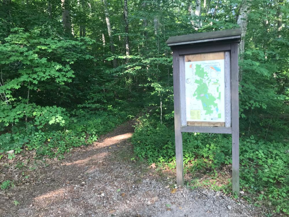
The Blue-Blazed Cockaponset Trail, Blue/Red Wildwood Trail, Blue/Red North, and South Pattaconk Trails are foot travel only and combined provide 9.3 miles of walking trails. All other trails in Cockaponset State Forest are non-motorized multi-use trails. The Cockaponest Trail is just over 7 miles in one direction and can be moderate to advanced hiking in some sections.
The Quinimay Trail maintained by the Bridle Path Conservancy (BPC) is a north/south trail that traverses the forest from Westbrook to Haddam that provides excellent equestrian trail access. This trail was officially recognized by the state of Connecticut in 2008 as a multi-use Bridle Trail open to non-motorized trail use. Look for the tan and green plastic multi-use markers placed above the colored trail blazes. The Quinimay Trail was conceived and is maintained by members of the BPC, Lower Connecticut River Valley Horsemen’s Club (LCRHVC), in cooperation with the Connecticut Forest & Park Association and the New England Mountain Bike Association (NEMBA).
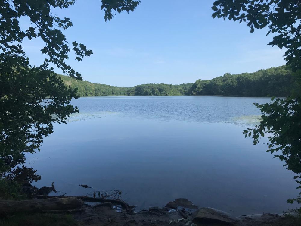
Cockaponset, named after an Indian chief who's buried in the Ponset section of Haddam, is the second-largest state forest in Connecticut. The development of this area for recreational purposes allows visitors to fully enjoy the attractiveness of the land, woods, and streams within the forest.
This park is managed by the following CT DEEP Park Headquarters:

Take Exit 6 off Route 9 South. Turn right off the exit ramp and go west on Route 148 for approximately 2 miles. Take a right onto Cedar Lake Road and drive approximately 2 miles. Take a left at the Pattaconk Lake sign.
Take Exit 6 off Route 9 North. Turn left off the exit ramp and go west on Route 148 for approximately 2 miles. Take a right onto Cedar Lake Road and drive approximately 2 miles. Take a left at the Pattaconk Lake sign.
Take Exit 8 off Route 9 South. Turn left onto Beaver Meadow Road. Take the second right onto Ranger Road. The headquarters is on the left.
Take Exit 8 off Route 9 North. Turn right onto Beaver Meadow Road. Take the second right onto Ranger Road. The headquarters is on the left.
Success! A new password has been emailed to you.