Over 1000 miles of trail available to explore, and more added each day!

Elderslie Preserve (Woodbridge Greenway)

The Elderslie Preserve, The Lodge, and Milford Meadows properties are a mix of woodlands, fields, and vernal ponds - a critical link in the Woodbridge Greenway with varying degrees of difficulty. 
Trail Activity
Hiking
Length
4.7 miles, Network
Difficulty
Easy, Moderate, Advanced, Strenuous
Town
Woodbridge
Surface
Packed Earth/Dirt
Pets
Permitted on leash
Fees
No

Description

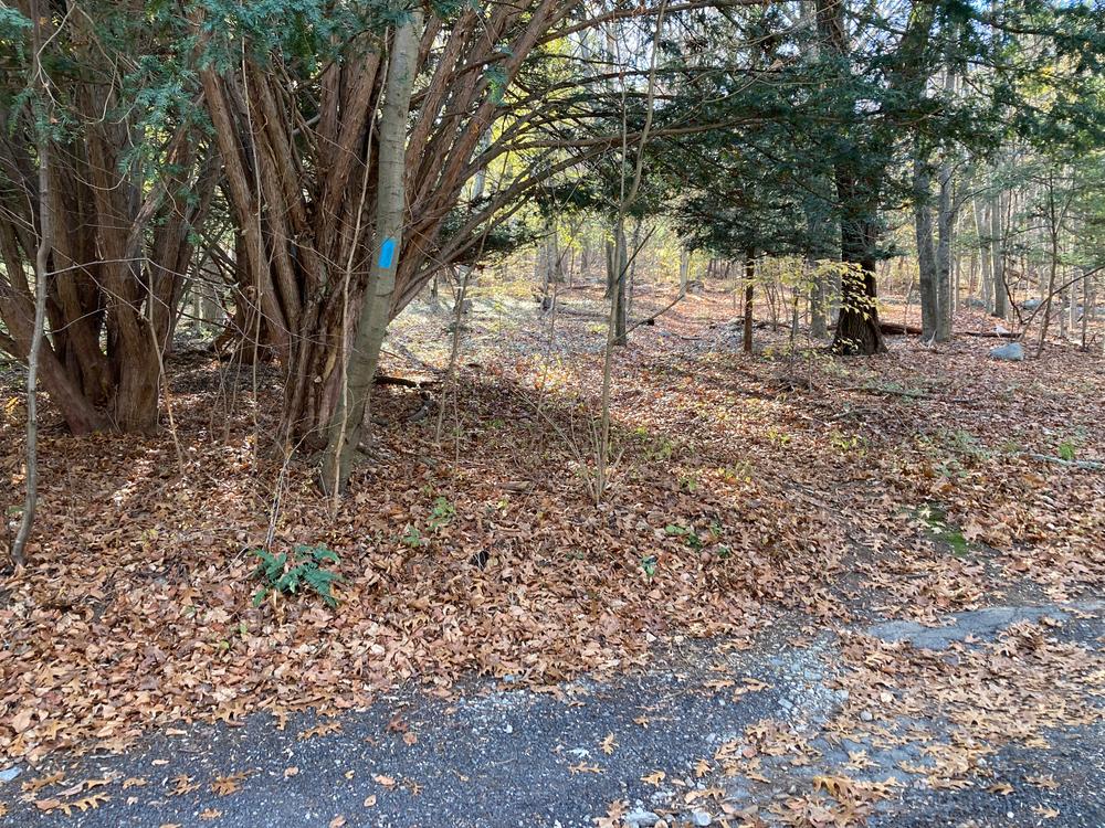
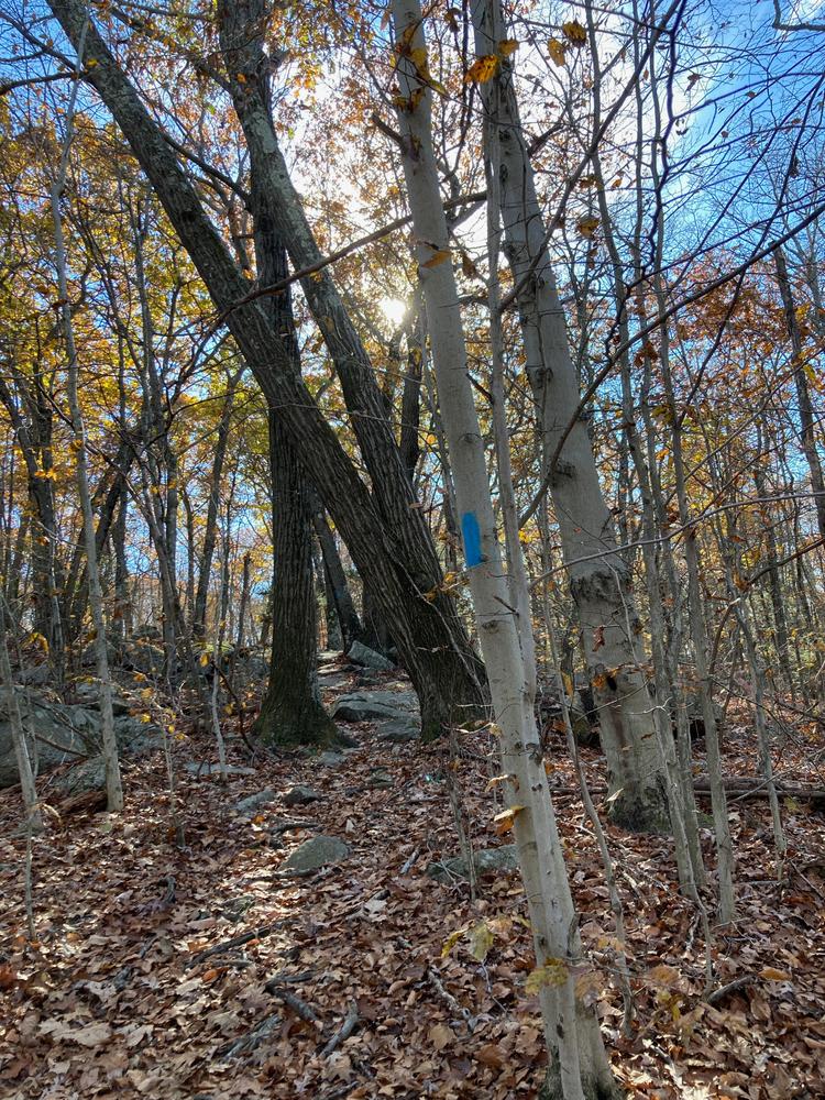
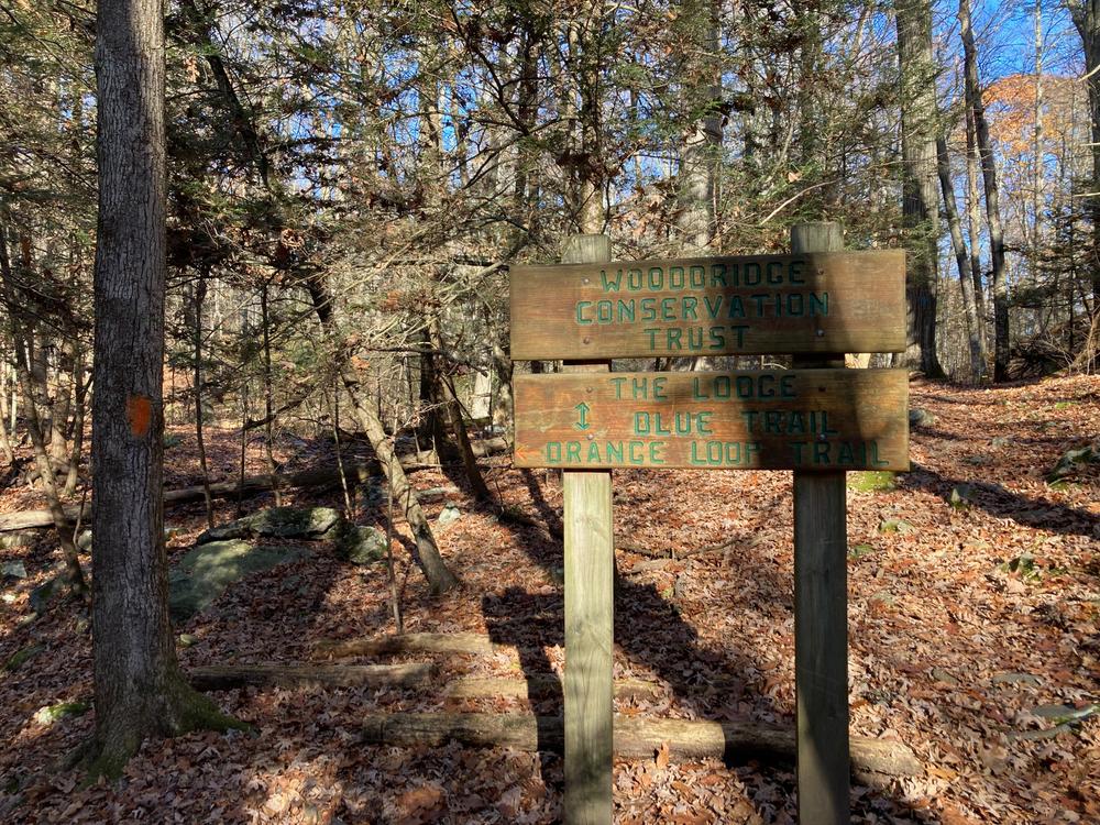
The trail system at Elderslie Preserve offers varying degrees of difficulty. The Red Trail is an easy walk, the Yellow Trail is a moderate hike, the Orange Trail is a hard hike. The Blue Trail begins as an easy hike in the south and becomes more difficult.

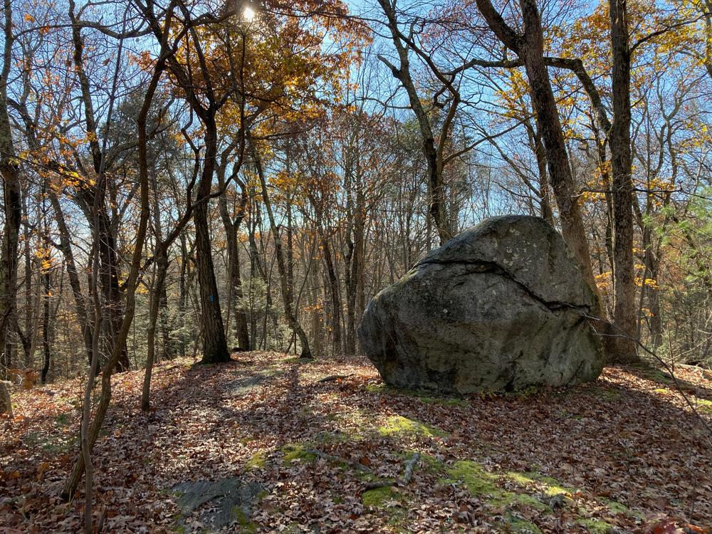
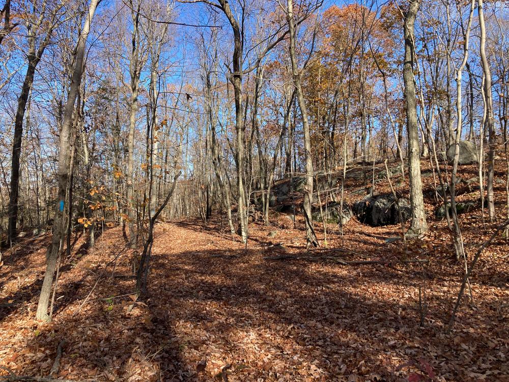
The preserve includes the headwaters of the Wepawaug River and provides breeding habitat for a number of rare species, including marbled and four-toed salamanders. Glacial erratics are also visible along portions of the trail system, including Big Boulder - one of the largest glacial erratics in the state.

Colonial foundations can be located on the Eldserlie Preserve adjacent to Peck Road. To the south, the trail off Orchard Road includes a cairn, a heap of stones piled up as either a memorial or landmark.

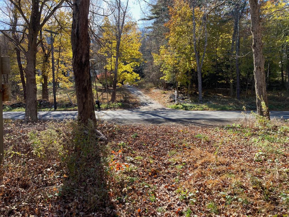
A major section of the Naugatuck Trail (blue trail) passes through Elderslie and has a northern access point on Route 67 and a southern access point at the junction of North Racebrook and Historic Indian Trail.

Other Information

This land is for passive recreation use only.

  • No motorized vehicles are permitted.
  • Dogs are permitted on leash. Please bag and pick up all dog waste.
  • Hunting or trapping is prohibited as well as fires, camping and picking of vegetation.

Trail Manager

Trail Master (Woodbridge)

View website

Trail Tips

Leave What You Find
Leave the trail work to the pros: they will add or remove blazes, cairns (stone trail markers), structures, and trail improvements as deemed necessary.
Legend
Hide All

Trailhead Information

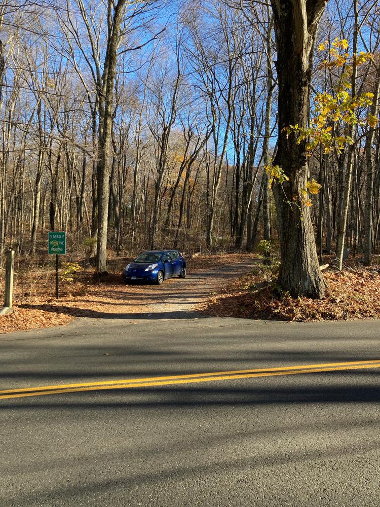
The main entrance and parking for the Elderslie Preserve is located on Peck Hill Road. From the Amity Shopping Center, follow Amity Road (Route 63) north approx 3.1 miles to the west/ left on Seymour Road (Route 67) for 2 miles, and then left onto Peck Hill Road. A sign for the Elderslie Preserve will be on the right side with a left entrance to the parking lot. 

The main Greenway trail can be accessed from the northern end on Route 67 (opposite 124 Seymour Road, parking lot for 8 cars), or on the southern end, at the intersection of Indian Trail and North Racebrook Road. The small Indian Trail Road parking lot is next to 3 Indian Trail (3 car lot and on-road parking).

Click on a parking icon to get custom directions
Please Log In or Create Account to add comments.
SHARE THIS TRAIL
PRINT THIS TRAIL

Add Trail Log

Please wait…
Join In on the Fun!
Log in or create an account below to unlock all the great features of Connecticut Trail Finder: keep track of trails you want to do, preserve memories of trails you’ve done, and more!
Your log in attempt was not successful. Please try again.
    Lost your password? Reset your password
    Don't yet have an account?
    There was an issue with your submission. Please try again.
      * Indicates required field
      Already have an account? Login here
      Enter your username, and we will send you a new, randomly generated password to your email account.
      There was an issue with your submission. Please try again.

        Success! A new password has been emailed to you.

        Log in now

        Please wait…