Woodbridge Greenway is a central link in a regional greenway system (West River Watershed Greenway) which includes New Haven, Hamden, Bethany, Seymour, Ansonia, and Derby.
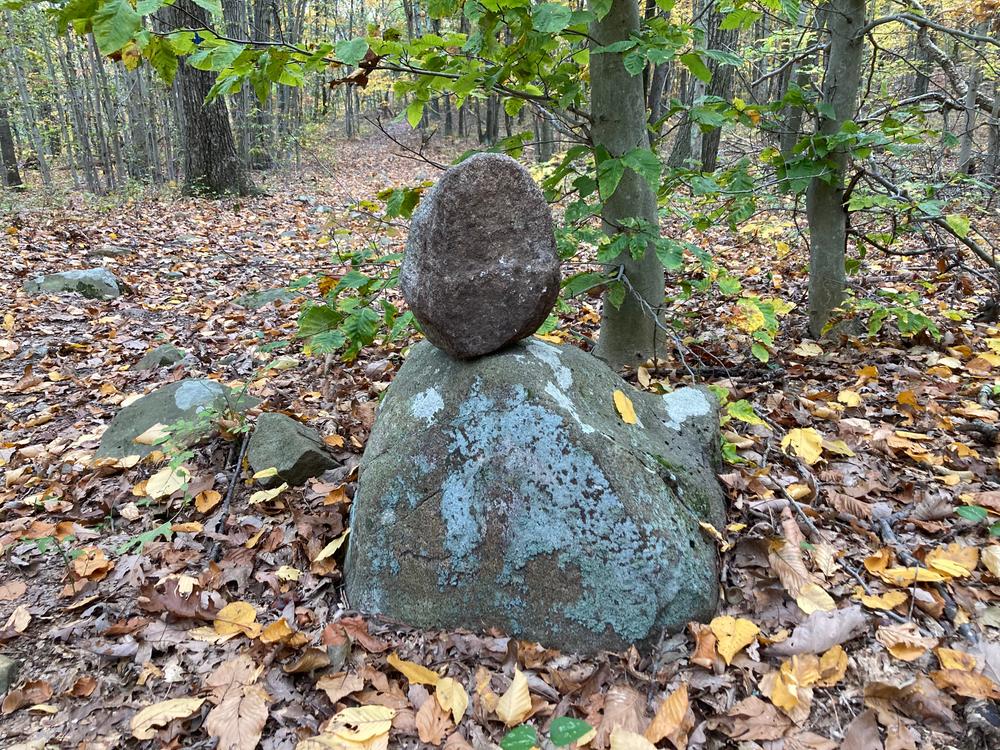
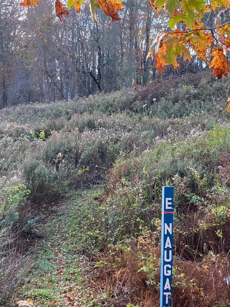
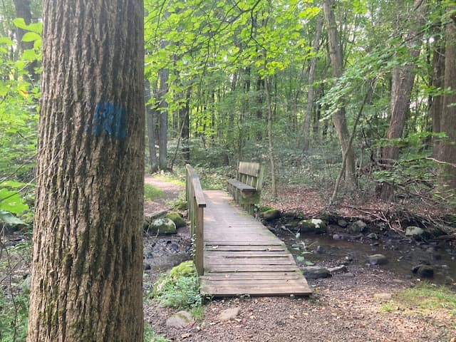
Most of the Greenway follows the native American Naugatuck trail, more specifically the east branch (coming from West Rock Ridge) and the south branch, which meet in the Bladen's Brook/ Russel Swamp junction near Sanford Road. Artifacts of Woodbridge’s early history (mills, house foundations etc.) can also be found along the Greenway.
The Woodbridge Greenway can best be hiked counterclockwise, starting at Bishop Estate East and Darling House Trails, and heading west on the Bishop Estate West Trails towards Dillon Road. The next section, from Dillon Road to Amity Road, can either be hiked through Regional Water Authority (RWA) land (permit required), or along Dillon and Sperry Roads. From Sperry Road, the trail follows the utility easement westward across Amity Road (Rt. 63).
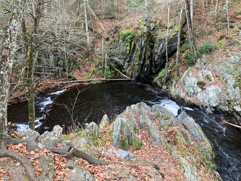
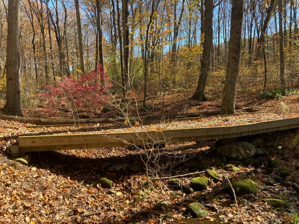
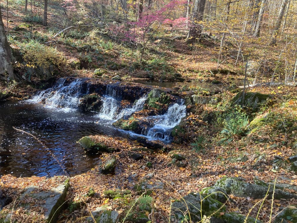
From there, the Round Hill, Bladen's Brook, & Russell Swamp section provides nice views and then descends to Bladen's Brook and Russel Swamp, including a boardwalk through diverse wetlands of the Bladens River watershed. From here, hikers can either go north to Bethany Farms Trails, or continue south into Elderslie Preserve which includes the The Lodge tract and Milford Meadows property along with Wepawaug Falls. Next is the Alice Newton Street Memorial Park which also offers a wide variety of trails and the Greenway connects to Fitzgerald Tract, then Racebrook Estates and currently finishes at the south end of the Historic Indian Trails Park Lane Area.
A permit from the Regional Water Authority is required for the connection from Dillon Road to Amity Road, as this section passes through RWA land. Alternatively, hikers can use Dillon Road, Sperry Road, Cassway Road and Amity Road (Route 63) to meet the entrance to Round Hill. Please use caution walking along Amity Road.
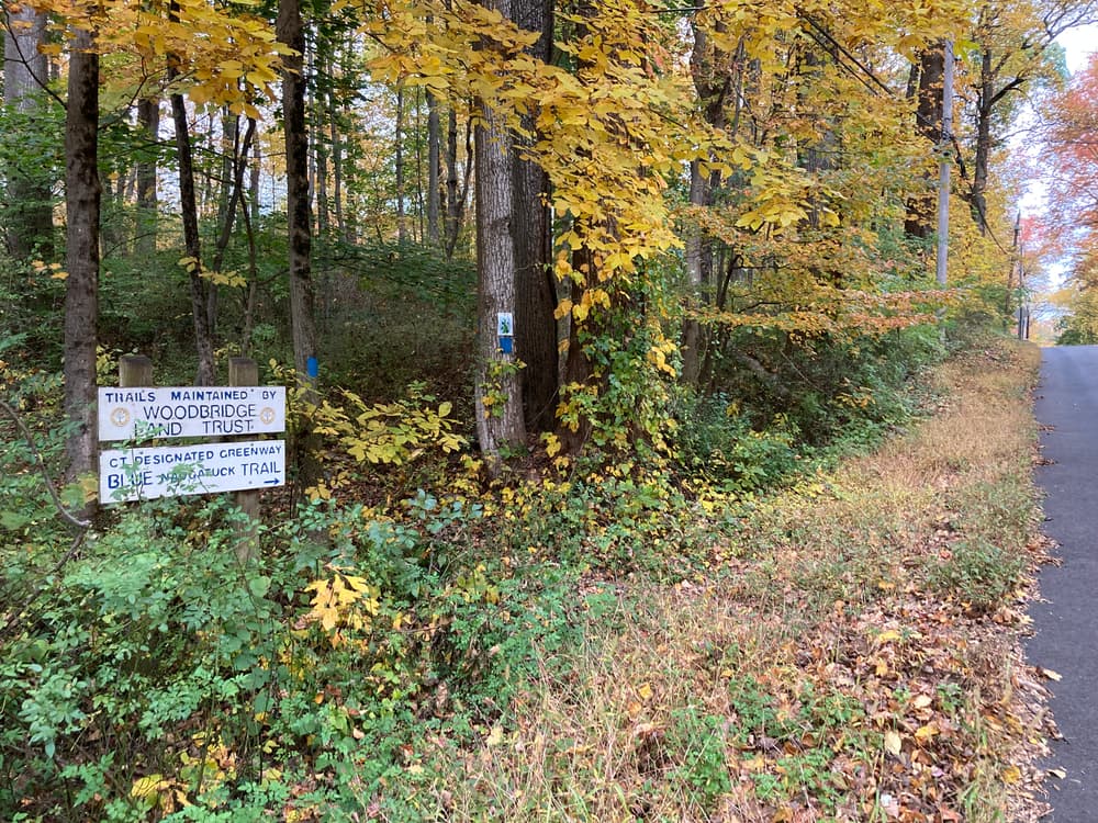
The Town of Woodbridge, the Woodbridge Land Trust, and the Woodbridge Park Association steward these trails. To help maintain the Woodbridge trails, sign up here.
Woodbridge’s 13-mile Greenway was initially described in the Woodbridge 2000 Open Space Plan. The Conservation Commission has worked together with many agencies to secure any missing links through the purchase or donation of conservation easements, development rights, or fee simple interests.
Access is adjacent to the Darling House located at 1907 Litchfield Turnpike (Route 69).
Access off Dillon Road across from the RWA gate or off the shoulder of Sperry Road or at Sperry Park. Sperry Park parking may not be accessed during winter season. OR on Apple Tree Lane 0.1 miles south of the trail crossing on Amity Road. Please exercise caution when walking on Amity Road.
The main parking is located just off Seymour Road (Route 67, about 2 miles north from the Amity Road intersection) on the right, just after the gas line.
The Greenway trail can be accessed from the northern end on Route 67 (opposite 124 Seymour Road) OR on the southern end, at the intersection of Indian Trail and North Racebrook Road. The small Indian Trail Road parking lot is next to 3 Indian Trail. The main entrance and parking for the Elderslie Preserve is located on Peck Hill Road, approximately 5 miles from the Amity Shopping Center (follow Route 63 north for 3 miles and Rt. 67 west for 2 miles, then turn left onto Peck Road). A sign for the Elderslie Preserve will be on the east roadside of Peck Road, with the parking lot a short way into the woods.
The main entrance for Alice Newton Street Memorial Park is located on Meetinghouse Lane just west of the rear driveway of the First Church of Christ. Parking is available on Meetinghouse Lane or any other public parking areas.
The parking lot is located in the Center of Woodbridge, just off of Beecher Road, south of Center Road.
On-street parking is available at or near the trail heads located on Beecher Road, Marion Drive, Loise Drive, Pease Road.
On-street parking is available at the trail heads on Park Lane and Fountain Street.
Success! A new password has been emailed to you.